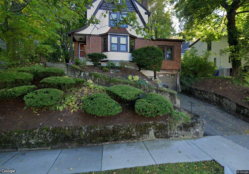
54 Jordan Rd Brookline, MA 02446
Washington Square NeighborhoodEstimated Value: $1,763,000 - $2,313,000
3
Beds
3
Baths
1,802
Sq Ft
$1,105/Sq Ft
Est. Value
About This Home
This home is located at 54 Jordan Rd, Brookline, MA 02446 and is currently estimated at $1,991,233, approximately $1,105 per square foot. 54 Jordan Rd is a home located in Norfolk County with nearby schools including Michael Driscoll, Brookline High School, and Boston Green Academy Horace Mann Charter School.
Ownership History
Date
Name
Owned For
Owner Type
Purchase Details
Closed on
Jun 17, 1997
Sold by
Shulman Abraham and Shulman Lillina G
Bought by
Gubar Martin D
Current Estimated Value
Home Financials for this Owner
Home Financials are based on the most recent Mortgage that was taken out on this home.
Original Mortgage
$180,000
Interest Rate
7.97%
Mortgage Type
Purchase Money Mortgage
Create a Home Valuation Report for This Property
The Home Valuation Report is an in-depth analysis detailing your home's value as well as a comparison with similar homes in the area
Home Values in the Area
Average Home Value in this Area
Purchase History
| Date | Buyer | Sale Price | Title Company |
|---|---|---|---|
| Gubar Martin D | $375,000 | -- |
Source: Public Records
Mortgage History
| Date | Status | Borrower | Loan Amount |
|---|---|---|---|
| Open | Gubar Martin D | $180,000 | |
| Closed | Gubar Martin D | $180,000 | |
| Closed | Gubar Martin D | $180,000 | |
| Open | Gubar Martin D | $290,000 |
Source: Public Records
Tax History
| Year | Tax Paid | Tax Assessment Tax Assessment Total Assessment is a certain percentage of the fair market value that is determined by local assessors to be the total taxable value of land and additions on the property. | Land | Improvement |
|---|---|---|---|---|
| 2025 | $19,979 | $2,024,200 | $1,340,800 | $683,400 |
| 2024 | $19,026 | $1,947,400 | $1,288,700 | $658,700 |
| 2023 | $18,227 | $1,828,200 | $1,120,600 | $707,600 |
| 2022 | $17,742 | $1,741,100 | $1,067,200 | $673,900 |
| 2021 | $16,407 | $1,674,200 | $1,026,200 | $648,000 |
| 2020 | $14,481 | $1,532,400 | $892,400 | $640,000 |
| 2019 | $13,675 | $1,459,400 | $849,900 | $609,500 |
| 2018 | $11,905 | $1,258,500 | $708,900 | $549,600 |
| 2017 | $11,731 | $1,187,300 | $668,700 | $518,600 |
| 2016 | $11,562 | $1,109,600 | $625,000 | $484,600 |
| 2015 | $10,035 | $939,600 | $486,700 | $452,900 |
| 2014 | $9,875 | $867,000 | $442,500 | $424,500 |
Source: Public Records
Map
Nearby Homes
- 150+152 Jordan Rd
- 200 Winchester St Unit 1
- 1572 Beacon St
- 19 Westbourne Terrace Unit 2
- 1618 Beacon St Unit 1
- 1620 Beacon St
- 249 Corey Rd Unit 404
- 249 Corey Rd Unit 306
- 249 Corey Rd Unit 303
- 249 Corey Rd Unit 203
- 249 Corey Rd Unit 309
- 249 Corey Rd Unit 207
- 249 Corey Rd Unit 408
- 249 Corey Rd Unit 401
- 757 Washington St Unit 2
- 1521 Beacon St Unit 1
- 15 Short St Unit 4
- 230 Corey Rd
- 4 Fairbanks St Unit 2
- 1471 Beacon St Unit 7