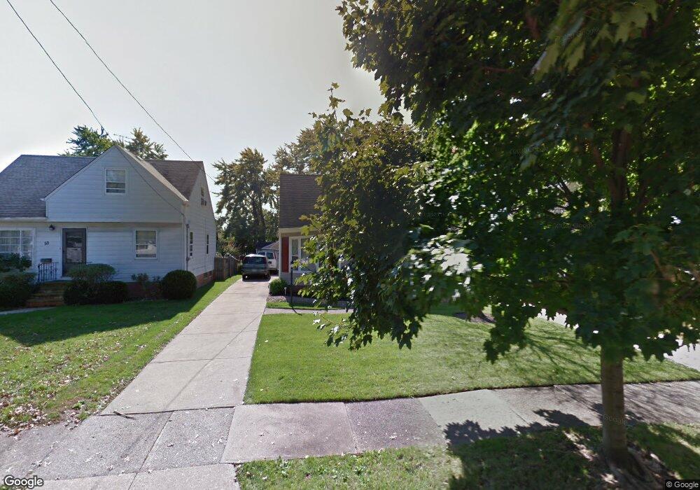
54 Leyton Rd Bedford, OH 44146
Estimated Value: $167,979 - $199,000
3
Beds
2
Baths
1,815
Sq Ft
$102/Sq Ft
Est. Value
About This Home
This home is located at 54 Leyton Rd, Bedford, OH 44146 and is currently estimated at $184,245, approximately $101 per square foot. 54 Leyton Rd is a home located in Cuyahoga County with nearby schools including Heskett Middle School, Bedford High School, and Ohio College Preparatory School.
Ownership History
Date
Name
Owned For
Owner Type
Purchase Details
Closed on
Oct 28, 1994
Sold by
Mcfarland Homer C
Bought by
Lavette Carl
Current Estimated Value
Home Financials for this Owner
Home Financials are based on the most recent Mortgage that was taken out on this home.
Original Mortgage
$81,000
Interest Rate
8.68%
Mortgage Type
New Conventional
Purchase Details
Closed on
Sep 4, 1979
Sold by
Homer C Mcfarland
Bought by
Mcfarland Homer C
Purchase Details
Closed on
Aug 16, 1979
Sold by
Mcfarland Homer C and Mcfarland Mary
Bought by
Homer C Mcfarland
Purchase Details
Closed on
Jan 1, 1975
Bought by
Mcfarland Homer C and Mcfarland Mary
Create a Home Valuation Report for This Property
The Home Valuation Report is an in-depth analysis detailing your home's value as well as a comparison with similar homes in the area
Home Values in the Area
Average Home Value in this Area
Purchase History
| Date | Buyer | Sale Price | Title Company |
|---|---|---|---|
| Lavette Carl | $90,000 | -- | |
| Mcfarland Homer C | -- | -- | |
| Homer C Mcfarland | -- | -- | |
| Mcfarland Homer C | -- | -- |
Source: Public Records
Mortgage History
| Date | Status | Borrower | Loan Amount |
|---|---|---|---|
| Closed | Lavette Carl | $81,000 |
Source: Public Records
Tax History Compared to Growth
Tax History
| Year | Tax Paid | Tax Assessment Tax Assessment Total Assessment is a certain percentage of the fair market value that is determined by local assessors to be the total taxable value of land and additions on the property. | Land | Improvement |
|---|---|---|---|---|
| 2024 | $3,876 | $50,575 | $8,995 | $41,580 |
| 2023 | $3,446 | $38,610 | $6,790 | $31,820 |
| 2022 | $3,046 | $38,605 | $6,790 | $31,815 |
| 2021 | $2,962 | $38,610 | $6,790 | $31,820 |
| 2020 | $2,783 | $32,450 | $5,710 | $26,740 |
| 2019 | $2,711 | $92,700 | $16,300 | $76,400 |
| 2018 | $2,694 | $32,450 | $5,710 | $26,740 |
| 2017 | $2,542 | $28,810 | $5,180 | $23,630 |
| 2016 | $2,521 | $28,810 | $5,180 | $23,630 |
| 2015 | $2,543 | $28,810 | $5,180 | $23,630 |
| 2014 | $2,543 | $31,330 | $5,640 | $25,690 |
Source: Public Records
Map
Nearby Homes
- 95 Noran Cir
- 78 Gould Ave
- 377 Hubbell Cir
- 0 Hubbell Cir
- 54 Hubbell Way
- 66 Hubbell Way
- 58 Hubbell Way
- 62 Hubbell Way
- 54 Willard Ave
- 62 Willard Ave
- 57 Hubbell Way
- 61 Hubbell Way
- 32 Ellenwood Ave
- 20620 Donny Brook Rd
- 475 Lamson Ave
- 20625 Centuryway Rd
- 443 Broadway Ave
- 20634 Centuryway Rd
- 5571 Oakwood Ave
- 179 Willard Ave