54 Munro Rd Newark, DE 19711
Estimated Value: $463,000 - $514,000
3
Beds
4
Baths
2,786
Sq Ft
$178/Sq Ft
Est. Value
About This Home
This home is located at 54 Munro Rd, Newark, DE 19711 and is currently estimated at $495,812, approximately $177 per square foot. 54 Munro Rd is a home with nearby schools including Downes (John R.) Elementary School, Shue-Medill Middle School, and Newark High School.
Ownership History
Date
Name
Owned For
Owner Type
Purchase Details
Closed on
Oct 1, 2014
Sold by
The Ryland Group Inc
Bought by
Kenndy Christopher and Kennedy Sheila
Current Estimated Value
Home Financials for this Owner
Home Financials are based on the most recent Mortgage that was taken out on this home.
Original Mortgage
$157,545
Interest Rate
4.17%
Mortgage Type
Future Advance Clause Open End Mortgage
Purchase Details
Closed on
Jun 26, 2014
Sold by
Wilson Farm Associates Llc
Bought by
The Ryland Group Inc
Create a Home Valuation Report for This Property
The Home Valuation Report is an in-depth analysis detailing your home's value as well as a comparison with similar homes in the area
Home Values in the Area
Average Home Value in this Area
Purchase History
| Date | Buyer | Sale Price | Title Company |
|---|---|---|---|
| Kenndy Christopher | $337,660 | None Available | |
| The Ryland Group Inc | $516,000 | None Available |
Source: Public Records
Mortgage History
| Date | Status | Borrower | Loan Amount |
|---|---|---|---|
| Previous Owner | Kenndy Christopher | $157,545 |
Source: Public Records
Tax History
| Year | Tax Paid | Tax Assessment Tax Assessment Total Assessment is a certain percentage of the fair market value that is determined by local assessors to be the total taxable value of land and additions on the property. | Land | Improvement |
|---|---|---|---|---|
| 2024 | $954 | $90,400 | $9,300 | $81,100 |
| 2023 | $3,269 | $90,400 | $9,300 | $81,100 |
| 2022 | $3,234 | $90,400 | $9,300 | $81,100 |
| 2021 | $3,151 | $90,400 | $9,300 | $81,100 |
| 2020 | $3,060 | $90,400 | $9,300 | $81,100 |
| 2019 | $2,683 | $90,400 | $9,300 | $81,100 |
| 2018 | $2,621 | $90,400 | $9,300 | $81,100 |
| 2017 | $2,543 | $90,400 | $9,300 | $81,100 |
| 2016 | $2,536 | $90,400 | $9,300 | $81,100 |
| 2015 | $2,273 | $90,400 | $9,300 | $81,100 |
| 2014 | $133 | $5,300 | $5,300 | $0 |
Source: Public Records
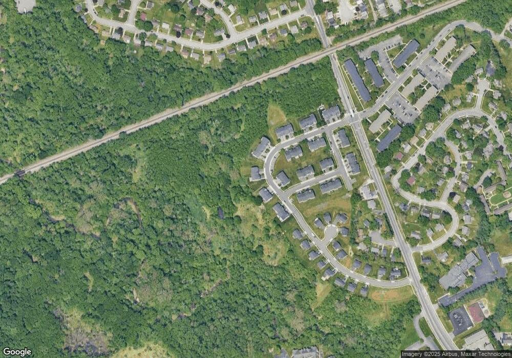
Map
Nearby Homes
- 30 Julie Ln
- 153 King William St Unit 153
- 313 Chickory Way
- 305 Kinross Dr
- 512 Briar Ln
- 117 W Shetland Ct
- 306 Willa Rd
- 105 Tanglewood Ln
- 2 Leahy Dr
- 3 Leahy Dr
- 0001 Leahy Dr
- 104 Leahy Dr
- 28 Buttercup Cir
- 405 Leahy Dr
- 57 W Park Place
- 11 Buttercup Cir
- 402 Leahy Dr
- 406 Leahy Dr
- 1002 Dixon Dr
- 102 Joshua (6 Building Lots) Ln
Your Personal Tour Guide
Ask me questions while you tour the home.