54 Point of View Southport, ME 04576
Estimated Value: $1,917,000 - $2,213,072
--
Bed
--
Bath
6,301
Sq Ft
$328/Sq Ft
Est. Value
About This Home
This home is located at 54 Point of View, Southport, ME 04576 and is currently estimated at $2,065,036, approximately $327 per square foot. 54 Point of View is a home located in Lincoln County with nearby schools including Southport Central School.
Ownership History
Date
Name
Owned For
Owner Type
Purchase Details
Closed on
Dec 29, 2011
Sold by
Helms Deep Rt
Bought by
Kelly Elsie M and Kelly John Robert
Current Estimated Value
Home Financials for this Owner
Home Financials are based on the most recent Mortgage that was taken out on this home.
Original Mortgage
$400,000
Outstanding Balance
$261,056
Interest Rate
3%
Mortgage Type
Commercial
Estimated Equity
$1,803,980
Purchase Details
Closed on
Nov 10, 2005
Sold by
Dotties Island T
Bought by
Helming 3Rd F W and Poland Todd
Purchase Details
Closed on
Feb 11, 2005
Sold by
Helming 3Rd F W and Helming Margaret E
Bought by
Helms Deep Rt
Create a Home Valuation Report for This Property
The Home Valuation Report is an in-depth analysis detailing your home's value as well as a comparison with similar homes in the area
Home Values in the Area
Average Home Value in this Area
Purchase History
| Date | Buyer | Sale Price | Title Company |
|---|---|---|---|
| Kelly Elsie M | -- | -- | |
| Helming 3Rd F W | -- | -- | |
| Dotties Island T | -- | -- | |
| Helms Deep Rt | -- | -- |
Source: Public Records
Mortgage History
| Date | Status | Borrower | Loan Amount |
|---|---|---|---|
| Open | Kelly Elsie M | $400,000 |
Source: Public Records
Tax History Compared to Growth
Tax History
| Year | Tax Paid | Tax Assessment Tax Assessment Total Assessment is a certain percentage of the fair market value that is determined by local assessors to be the total taxable value of land and additions on the property. | Land | Improvement |
|---|---|---|---|---|
| 2024 | $10,064 | $1,768,750 | $1,221,300 | $547,450 |
| 2023 | $9,286 | $1,768,750 | $1,221,300 | $547,450 |
| 2022 | $9,198 | $1,768,750 | $1,221,300 | $547,450 |
| 2021 | $10,082 | $1,768,750 | $1,221,300 | $547,450 |
| 2020 | $9,354 | $2,078,750 | $1,531,300 | $547,450 |
| 2019 | $8,523 | $2,078,750 | $1,531,300 | $547,450 |
| 2018 | $8,523 | $2,078,750 | $1,531,300 | $547,450 |
| 2017 | $8,128 | $2,078,750 | $1,531,300 | $547,450 |
| 2016 | $8,105 | $2,072,990 | $1,531,300 | $541,690 |
| 2007 | -- | $2,072,990 | $1,531,300 | $541,690 |
Source: Public Records
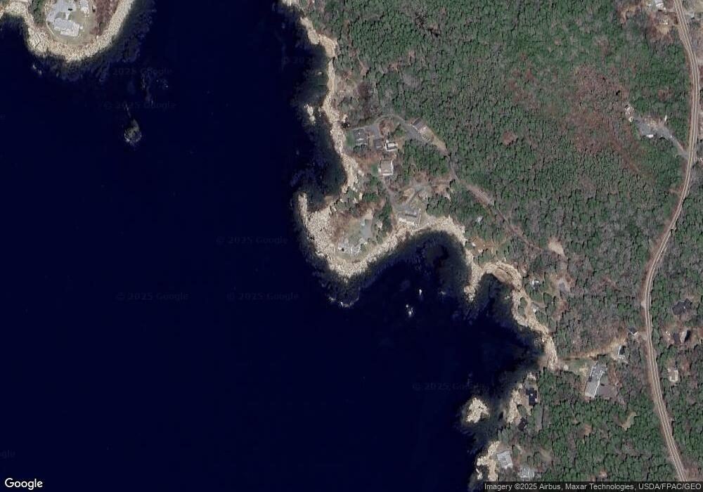
Map
Nearby Homes
- 11 Youngs Rd
- 1020 Hendricks Hill Rd
- 22 Gray Rd
- 461 Hendricks Hill Rd
- 14 Pinkie Ln
- Lot 3 Osprey Landing Dr
- Lot 2 Osprey Landing Dr
- P/O 4-1 Camerons Point Rd
- Lot 17A Snowman Ln
- 15 Blueberry Hill Rd
- 17 Cedar Ln Unit 17
- 3 Cedar Ln Unit 3
- 1 Cedar Ln Unit 1
- 25 N End Rd
- 1 Plum Ln Unit D
- 12 Spruce Gum Ln
- Lot 12 Linekin Rd
- 58 Roads End Rd
- 68 Narrows Way
- 113 Commercial St
- 37 Point of View
- 37 Point of View
- 54 Richardson Rd
- 26 Point of View
- 10 Point of View
- 8 Point of View
- 781 Hendricks Hill Rd
- 25 Richardson Rd
- 767 Hendricks Hill Rd
- 820 Hendricks Hill Rd
- 780 Hendricks Hill Rd
- 757 Hendricks Hill Rd
- 814 Hendricks Hill Rd
- 825 Hendricks Hill Rd
- 766 Hendricks Hill Rd
- 00 Hendricks Hill Rd
- 813 Hendricks Hill Rd Unit 817
- 825,817,81 Hendricks Hill Rd
- 762 Hendricks Hill Rd