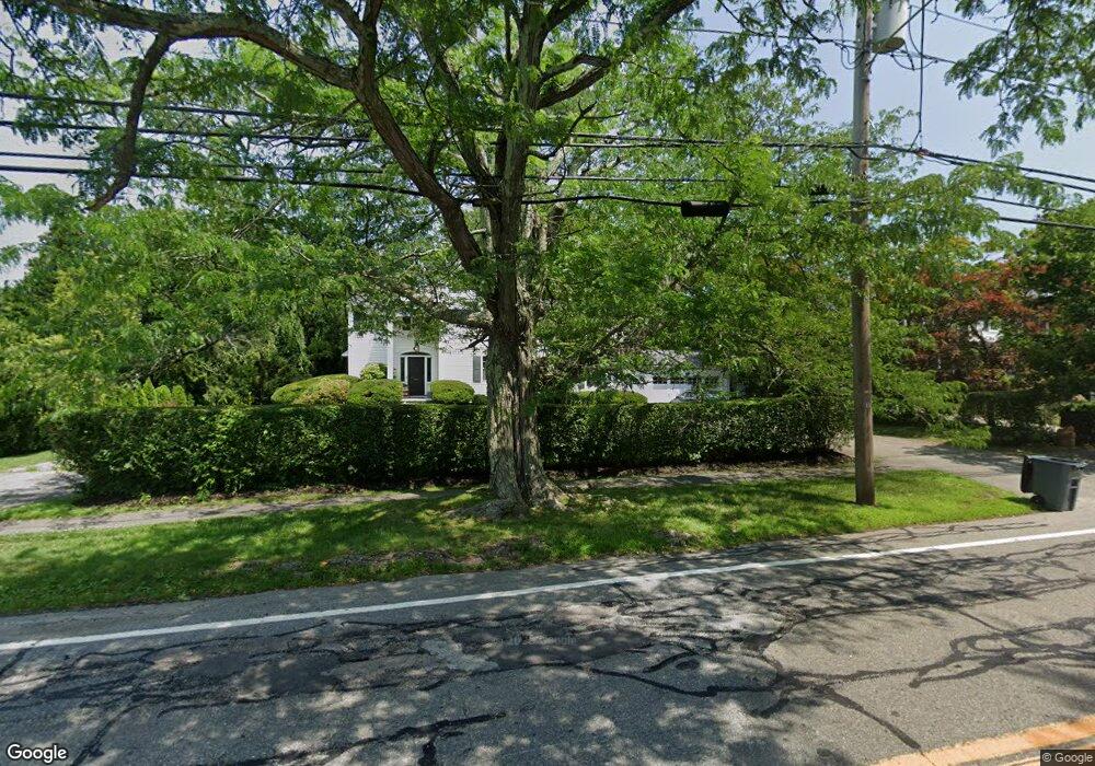
54 Rumstick Rd Barrington, RI 02806
Rumstick NeighborhoodEstimated Value: $1,268,000 - $1,596,000
4
Beds
4
Baths
2,968
Sq Ft
$477/Sq Ft
Est. Value
About This Home
This home is located at 54 Rumstick Rd, Barrington, RI 02806 and is currently estimated at $1,414,845, approximately $476 per square foot. 54 Rumstick Rd is a home located in Bristol County with nearby schools including Barrington High School, Barrington Christian Academy, and St. Andrews School.
Ownership History
Date
Name
Owned For
Owner Type
Purchase Details
Closed on
Jun 28, 2000
Sold by
Annunziato Steven and Annunziato Lisa J
Bought by
Harrington Colin J and Harrington Susan
Current Estimated Value
Create a Home Valuation Report for This Property
The Home Valuation Report is an in-depth analysis detailing your home's value as well as a comparison with similar homes in the area
Home Values in the Area
Average Home Value in this Area
Purchase History
| Date | Buyer | Sale Price | Title Company |
|---|---|---|---|
| Harrington Colin J | $418,500 | -- |
Source: Public Records
Mortgage History
| Date | Status | Borrower | Loan Amount |
|---|---|---|---|
| Open | Harrington Colin J | $80,000 | |
| Open | Harrington Colin J | $299,000 | |
| Closed | Harrington Colin J | $322,700 |
Source: Public Records
Tax History Compared to Growth
Tax History
| Year | Tax Paid | Tax Assessment Tax Assessment Total Assessment is a certain percentage of the fair market value that is determined by local assessors to be the total taxable value of land and additions on the property. | Land | Improvement |
|---|---|---|---|---|
| 2025 | $16,030 | $1,045,000 | $459,000 | $586,000 |
| 2024 | $15,414 | $1,045,000 | $459,000 | $586,000 |
| 2023 | $15,286 | $753,000 | $306,000 | $447,000 |
| 2022 | $14,796 | $753,000 | $306,000 | $447,000 |
| 2021 | $14,420 | $753,000 | $306,000 | $447,000 |
| 2020 | $15,048 | $720,000 | $305,000 | $415,000 |
| 2019 | $14,472 | $720,000 | $305,000 | $415,000 |
| 2018 | $14,040 | $720,000 | $305,000 | $415,000 |
| 2017 | $13,734 | $686,700 | $304,900 | $381,800 |
| 2016 | $12,670 | $686,700 | $304,900 | $381,800 |
| 2015 | $12,532 | $686,700 | $304,900 | $381,800 |
| 2014 | $10,438 | $570,400 | $249,600 | $320,800 |
Source: Public Records
Map
Nearby Homes
- 58 Rumstick Rd
- 46 Rumstick Rd
- 46 Rumstick Rd Unit 1
- 60 Rumstick Rd
- 9 Chapin Rd
- 53 Rumstick Rd
- 11 Chapin Rd
- 45 Rumstick Rd
- 8 Chapin Rd
- 15 Chapin Rd
- 66 Rumstick Rd
- 10 Thomas St
- 40 Rumstick Rd
- 12 Chapin Rd
- 0 Hart Ln Unit 763059
- 0 Hart Ln Unit 763108
- 0 Hart Ln Unit 760187
- 0 Hart Ln Unit 760195
- 0 Hart Ln Unit 850707
- 0 Hart Ln Unit 932509