54 Shattuck St Pepperell, MA 01463
Estimated Value: $728,000 - $1,148,000
4
Beds
3
Baths
2,629
Sq Ft
$337/Sq Ft
Est. Value
About This Home
This home is located at 54 Shattuck St, Pepperell, MA 01463 and is currently estimated at $884,876, approximately $336 per square foot. 54 Shattuck St is a home located in Middlesex County with nearby schools including North Middlesex Regional High School, Pepperell Christian Academy, and Maple Dene & Moppet School.
Ownership History
Date
Name
Owned For
Owner Type
Purchase Details
Closed on
Dec 31, 2003
Sold by
Design Bldrs Rlty Corp
Bought by
Gold Emily A and Gold Spencer M
Current Estimated Value
Home Financials for this Owner
Home Financials are based on the most recent Mortgage that was taken out on this home.
Original Mortgage
$404,000
Outstanding Balance
$188,410
Interest Rate
5.86%
Mortgage Type
Purchase Money Mortgage
Estimated Equity
$696,466
Purchase Details
Closed on
Jul 15, 2003
Sold by
Bagley John D
Bought by
Design Bldrs Rlty Corp
Home Financials for this Owner
Home Financials are based on the most recent Mortgage that was taken out on this home.
Original Mortgage
$200,000
Interest Rate
5.45%
Mortgage Type
Purchase Money Mortgage
Create a Home Valuation Report for This Property
The Home Valuation Report is an in-depth analysis detailing your home's value as well as a comparison with similar homes in the area
Home Values in the Area
Average Home Value in this Area
Purchase History
| Date | Buyer | Sale Price | Title Company |
|---|---|---|---|
| Gold Emily A | $505,480 | -- | |
| Design Bldrs Rlty Corp | $150,000 | -- |
Source: Public Records
Mortgage History
| Date | Status | Borrower | Loan Amount |
|---|---|---|---|
| Open | Gold Emily A | $404,000 | |
| Previous Owner | Design Bldrs Rlty Corp | $200,000 |
Source: Public Records
Tax History
| Year | Tax Paid | Tax Assessment Tax Assessment Total Assessment is a certain percentage of the fair market value that is determined by local assessors to be the total taxable value of land and additions on the property. | Land | Improvement |
|---|---|---|---|---|
| 2025 | $10,544 | $720,700 | $174,500 | $546,200 |
| 2024 | $9,448 | $658,400 | $157,900 | $500,500 |
| 2023 | $9,146 | $604,100 | $133,900 | $470,200 |
| 2022 | $9,511 | $554,600 | $132,800 | $421,800 |
| 2021 | $9,136 | $509,800 | $116,800 | $393,000 |
| 2020 | $8,767 | $516,300 | $116,800 | $399,500 |
| 2019 | $7,842 | $472,700 | $116,800 | $355,900 |
| 2018 | $5,779 | $453,300 | $116,800 | $336,500 |
| 2017 | $5,294 | $450,400 | $116,800 | $333,600 |
| 2016 | $6,953 | $420,600 | $116,800 | $303,800 |
| 2015 | $6,709 | $420,600 | $116,800 | $303,800 |
| 2014 | $6,585 | $415,200 | $116,800 | $298,400 |
Source: Public Records
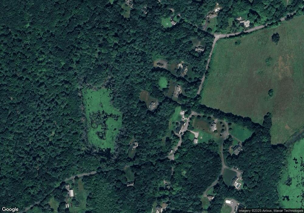
Map
Nearby Homes
- 43 Shattuck St
- 2 Blueberry Hill Rd
- 120 Townsend St Unit 1
- 120 Townsend St Unit 2
- 109 Townsend St
- 143 Heald St
- 90 Townsend St
- 18 Maple St Unit 14
- 39 Mount Lebanon St
- 21 Magnolia Ln
- 13 Birch Dr
- 10 Boynton St
- 18 Beech St
- Lot 10 Christian Cir
- 38 River Rd Unit 11
- 127 Brookline St
- 14 Brookline St
- 6 High Oaks Path
- 39 Hollis St Unit A
- 364 Townsend Hill Rd
Your Personal Tour Guide
Ask me questions while you tour the home.