54 Sip Pond Rd Fitzwilliam, NH 03447
Estimated Value: $290,000 - $359,000
2
Beds
1
Bath
1,521
Sq Ft
$217/Sq Ft
Est. Value
About This Home
This home is located at 54 Sip Pond Rd, Fitzwilliam, NH 03447 and is currently estimated at $329,603, approximately $216 per square foot. 54 Sip Pond Rd is a home located in Cheshire County with nearby schools including Dr. George S. Emerson Elementary School and Monadnock Regional High School.
Ownership History
Date
Name
Owned For
Owner Type
Purchase Details
Closed on
Jul 11, 2024
Sold by
Roy Sharon
Bought by
Roy Ryan R
Current Estimated Value
Create a Home Valuation Report for This Property
The Home Valuation Report is an in-depth analysis detailing your home's value as well as a comparison with similar homes in the area
Home Values in the Area
Average Home Value in this Area
Purchase History
| Date | Buyer | Sale Price | Title Company |
|---|---|---|---|
| Roy Ryan R | -- | None Available | |
| Roy Ryan R | -- | None Available |
Source: Public Records
Tax History Compared to Growth
Tax History
| Year | Tax Paid | Tax Assessment Tax Assessment Total Assessment is a certain percentage of the fair market value that is determined by local assessors to be the total taxable value of land and additions on the property. | Land | Improvement |
|---|---|---|---|---|
| 2024 | $4,158 | $227,600 | $112,700 | $114,900 |
| 2023 | $3,851 | $227,600 | $112,700 | $114,900 |
| 2022 | $3,735 | $227,600 | $112,700 | $114,900 |
| 2021 | $3,497 | $135,400 | $66,100 | $69,300 |
| 2020 | $3,431 | $133,200 | $66,100 | $67,100 |
| 2019 | $3,528 | $133,200 | $66,100 | $67,100 |
| 2018 | $3,211 | $133,200 | $66,100 | $67,100 |
| 2016 | $3,753 | $135,300 | $67,400 | $67,900 |
| 2015 | $3,614 | $135,300 | $67,400 | $67,900 |
| 2014 | $4,012 | $135,300 | $67,400 | $67,900 |
| 2013 | $3,834 | $135,300 | $67,400 | $67,900 |
Source: Public Records
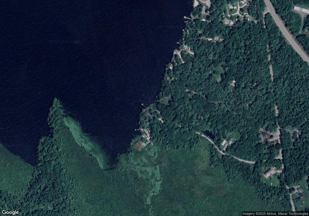
Map
Nearby Homes
- 115 Brook Side Rd Unit 2-12
- 257 Lakeside Dr
- 74 Fern Cir
- 60 Fern Cir Unit 1-59
- 801 Rt 12 S
- 45 Camp Cir
- 22 Daria Dr
- 239 Abel Rd
- 108 Royalston Rd N
- 759 Brown St
- 53 Laurel Lake Rd
- 706 Brown St
- 0 Thomas Rd Unit 10 5014817
- 156 Bayberry Cir
- 00 Fullam Hill Rd Unit 5, 6, 50
- 728 River St
- 790 River St
- 319 W Lake Rd
- 42 Cromwell Dr Unit 19
- 26 Weidner Dr
- 53 Sip Pond Rd
- 52 Sip Pond Rd
- 49 Sip Pond Rd
- 37 Old Turnpike Rd
- 47 Sip Pond Rd
- 51 Sip Pond Rd
- 1,2,4,5 Old Turnpike Rd
- 6 Anderson Rd
- 0 Anderson Rd
- 18 Old Turnpike Rd
- 850 Nh Route 12 S
- 52 Old Turnpike Rd
- 43 Old Turnpike Rd
- 71 Old Turnpike Rd
- 883 Nh Route 12 S
- 924 Nh Route 12 S
- 843 Nh Route 12 S
- 398 Woodbrook Dr
- 391 Woodbrook Dr
- 390 Woodbrook Dr