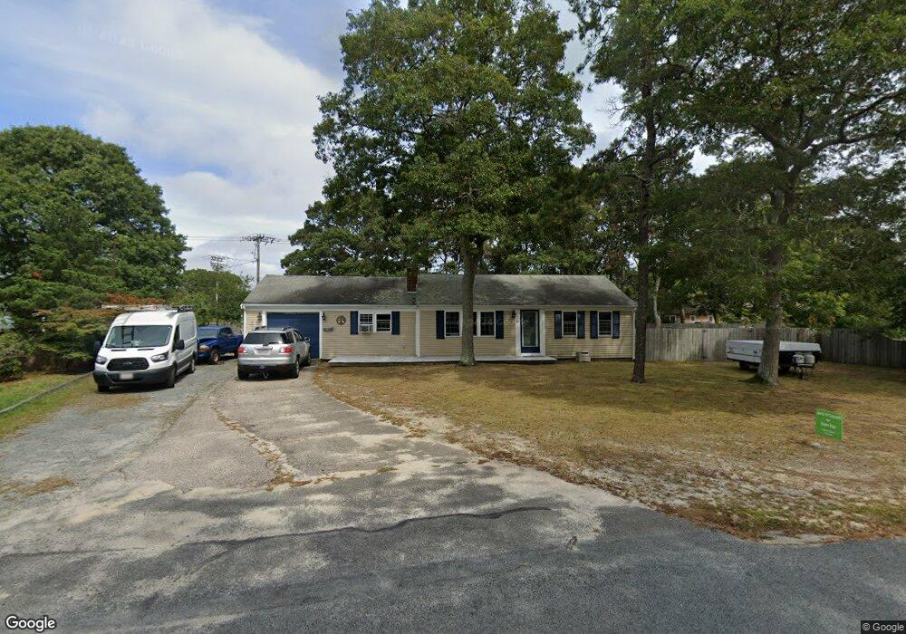
54 Sparrow Way South Yarmouth, MA 02664
Estimated Value: $530,163 - $537,000
2
Beds
2
Baths
1,001
Sq Ft
$533/Sq Ft
Est. Value
About This Home
This home is located at 54 Sparrow Way, South Yarmouth, MA 02664 and is currently estimated at $533,041, approximately $532 per square foot. 54 Sparrow Way is a home located in Barnstable County with nearby schools including Dennis-Yarmouth Regional High School and St. Pius X. School.
Ownership History
Date
Name
Owned For
Owner Type
Purchase Details
Closed on
Mar 29, 2002
Sold by
Suller Peter W and Suller June E
Bought by
St Onge Richard and St Onge Christine A
Current Estimated Value
Home Financials for this Owner
Home Financials are based on the most recent Mortgage that was taken out on this home.
Original Mortgage
$75,975
Interest Rate
6.88%
Mortgage Type
Purchase Money Mortgage
Purchase Details
Closed on
Oct 27, 1995
Sold by
Williams Elaine L and Martin Ella K
Bought by
Suler Peter W and Suller June E
Create a Home Valuation Report for This Property
The Home Valuation Report is an in-depth analysis detailing your home's value as well as a comparison with similar homes in the area
Home Values in the Area
Average Home Value in this Area
Purchase History
| Date | Buyer | Sale Price | Title Company |
|---|---|---|---|
| St Onge Richard | $101,300 | -- | |
| Suler Peter W | $80,000 | -- |
Source: Public Records
Mortgage History
| Date | Status | Borrower | Loan Amount |
|---|---|---|---|
| Open | Suler Peter W | $243,678 | |
| Closed | Suler Peter W | $166,600 | |
| Closed | Suler Peter W | $75,975 |
Source: Public Records
Tax History Compared to Growth
Tax History
| Year | Tax Paid | Tax Assessment Tax Assessment Total Assessment is a certain percentage of the fair market value that is determined by local assessors to be the total taxable value of land and additions on the property. | Land | Improvement |
|---|---|---|---|---|
| 2025 | $3,223 | $455,200 | $172,500 | $282,700 |
| 2024 | $2,994 | $405,700 | $145,900 | $259,800 |
| 2023 | $2,890 | $356,400 | $126,200 | $230,200 |
| 2022 | $2,737 | $298,100 | $114,800 | $183,300 |
| 2021 | $2,584 | $270,300 | $114,800 | $155,500 |
| 2020 | $2,535 | $253,500 | $114,800 | $138,700 |
| 2019 | $2,357 | $233,400 | $114,800 | $118,600 |
| 2018 | $2,227 | $216,400 | $97,800 | $118,600 |
| 2017 | $2,125 | $212,100 | $93,500 | $118,600 |
| 2016 | $2,032 | $203,600 | $85,000 | $118,600 |
| 2015 | $1,932 | $192,400 | $85,000 | $107,400 |
Source: Public Records
Map
Nearby Homes
- 33 Sparrow Way
- 0 Forsyth Ave
- 30 Quartermaster Row
- 72 Quartermaster Row
- 76 Captain Chase Rd
- 97 Captain Bacon Rd
- 49 Captain Besse Rd
- 176 Beacon St
- 16 Warren Rd Unit 16
- 16 Warren Rd
- 35 Captain Percival Rd
- 147 Captain Bacon Rd
- 17 Trowbridge Path
- 105 Webbers Path
- 338 Forest Rd
- 40 Deveau Ln
- 140 Diane Ave
- 32 Deveau Ln
- 4 Raymond Ave
- 8 Rowley Ln
- 60 Sparrow Way
- 52 Sparrow Way
- 417 Station Ave
- 41 Norma Ave
- 433 Station Ave
- 46 Sparrow Way
- 411 Station Ave
- 66 Sparrow Way
- 44 Bernard St
- 35 Norma Ave
- 437-439 Station Ave
- 428 Station Ave
- 410 Station Ave
- 40 Sparrow Way
- 38 Bernard St
- 70 Sparrow Way
- 45 Bernard St
- 39 Sparrow Way
- 29 Norma Ave
- 443 Station Ave