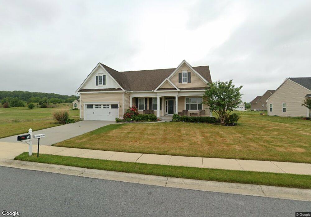
54 Sunderland Rd Felton, DE 19943
Estimated Value: $531,000 - $675,000
2
Beds
4
Baths
3,054
Sq Ft
$191/Sq Ft
Est. Value
About This Home
This home is located at 54 Sunderland Rd, Felton, DE 19943 and is currently estimated at $583,953, approximately $191 per square foot. 54 Sunderland Rd is a home with nearby schools including Lake Forest East Elementary School, Lake Forest Central Elementary School, and W.T. Chipman Middle School.
Ownership History
Date
Name
Owned For
Owner Type
Purchase Details
Closed on
Apr 12, 2013
Sold by
Hovbros Roesville Llc
Bought by
Becker Herbert H and Blalock Becker Leaarbri
Current Estimated Value
Home Financials for this Owner
Home Financials are based on the most recent Mortgage that was taken out on this home.
Original Mortgage
$185,001
Outstanding Balance
$130,881
Interest Rate
3.52%
Mortgage Type
New Conventional
Estimated Equity
$453,072
Create a Home Valuation Report for This Property
The Home Valuation Report is an in-depth analysis detailing your home's value as well as a comparison with similar homes in the area
Home Values in the Area
Average Home Value in this Area
Purchase History
| Date | Buyer | Sale Price | Title Company |
|---|---|---|---|
| Becker Herbert H | $349,256 | None Available |
Source: Public Records
Mortgage History
| Date | Status | Borrower | Loan Amount |
|---|---|---|---|
| Open | Becker Herbert H | $185,001 |
Source: Public Records
Tax History Compared to Growth
Tax History
| Year | Tax Paid | Tax Assessment Tax Assessment Total Assessment is a certain percentage of the fair market value that is determined by local assessors to be the total taxable value of land and additions on the property. | Land | Improvement |
|---|---|---|---|---|
| 2025 | $2,234 | $505,800 | $80,300 | $425,500 |
| 2024 | $2,234 | $505,800 | $80,300 | $425,500 |
| 2023 | $2,279 | $78,800 | $6,400 | $72,400 |
| 2022 | $2,056 | $78,800 | $6,400 | $72,400 |
| 2021 | $1,955 | $78,800 | $6,400 | $72,400 |
| 2020 | $2,010 | $78,800 | $6,400 | $72,400 |
| 2019 | $2,010 | $78,800 | $6,400 | $72,400 |
| 2018 | $1,991 | $78,800 | $6,400 | $72,400 |
| 2017 | $2,060 | $78,800 | $0 | $0 |
| 2016 | $1,859 | $78,800 | $0 | $0 |
| 2015 | -- | $78,800 | $0 | $0 |
| 2014 | -- | $72,300 | $0 | $0 |
Source: Public Records
Map
Nearby Homes
- 92 River Cliff Cir
- 02 Obsidian Dr
- 83 Rolling Stone Way
- 03 Obsidian Dr
- 07 Obsidian Dr
- 06 Obsidian Dr
- 04 Obsidian Dr
- 05 Obsidian Dr
- 01 Obsidian Dr
- Brenner Plan at Coursey's Point
- Whatley Plan at Coursey's Point
- Peterman II Plan at Coursey's Point
- Reston Plan at Coursey's Point
- Cartwright Plan at Coursey's Point
- Frank Plan at Coursey's Point
- 51 Cliff Dr
- 334 Steamboat Ave
- 369 Steamboat Ave
- 150 Elm Crest Ln
- 196 Elm Crest Ln
- 201 Blackburn St
- 36 Sunderland Rd
- 45 Sunderland Rd
- 159 Blackburn St
- 215 Blackburn St
- 73 Sunderland Rd
- 87 Sunderland Rd
- 59 Sunderland Rd
- 18 Sunderland Rd
- 187 Sunderland Rd
- 185 Sunderland Rd
- 173 Sunderland Rd
- 101 Sunderland Rd
- Lot 188 Sunderland
- 156 Blackburn St
- 181 Sunderland Rd
- 29 Sunderland Rd
- 0 Bridgewood Dr Unit 5657210
- 117 Sunderland Rd
- 9 Sunderland Rd