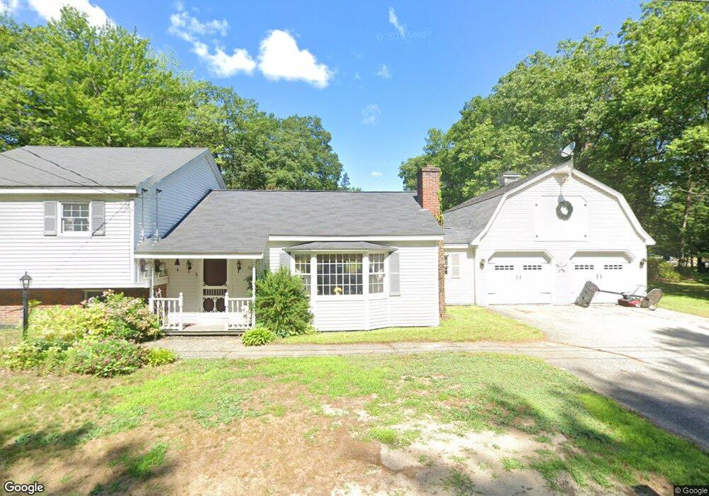
54 Trask Rd Turner, ME 04282
Estimated Value: $281,000 - $440,000
--
Bed
--
Bath
1,322
Sq Ft
$259/Sq Ft
Est. Value
About This Home
This home is located at 54 Trask Rd, Turner, ME 04282 and is currently estimated at $341,952, approximately $258 per square foot. 54 Trask Rd is a home with nearby schools including Tripp Middle School and Leavitt Area High School.
Create a Home Valuation Report for This Property
The Home Valuation Report is an in-depth analysis detailing your home's value as well as a comparison with similar homes in the area
Home Values in the Area
Average Home Value in this Area
Tax History Compared to Growth
Tax History
| Year | Tax Paid | Tax Assessment Tax Assessment Total Assessment is a certain percentage of the fair market value that is determined by local assessors to be the total taxable value of land and additions on the property. | Land | Improvement |
|---|---|---|---|---|
| 2025 | $2,817 | $207,100 | $63,300 | $143,800 |
| 2024 | $2,641 | $207,100 | $63,300 | $143,800 |
| 2023 | $2,599 | $207,100 | $63,300 | $143,800 |
| 2022 | $2,361 | $207,100 | $63,300 | $143,800 |
| 2021 | $2,361 | $207,100 | $63,300 | $143,800 |
| 2020 | $2,581 | $144,200 | $37,200 | $107,000 |
| 2019 | $2,596 | $144,200 | $37,200 | $107,000 |
| 2018 | $2,560 | $144,200 | $37,200 | $107,000 |
| 2016 | $2,431 | $144,200 | $37,200 | $107,000 |
| 2015 | $2,293 | $144,200 | $37,200 | $107,000 |
| 2014 | $2,264 | $144,200 | $37,200 | $107,000 |
| 2013 | $2,160 | $144,200 | $37,200 | $107,000 |
Source: Public Records
Map
Nearby Homes
- 2539 Auburn Rd
- 35 Mason Rd
- Lot16 Torrey Hill Rd
- Lot 45-8 Wyatt's Way
- 1785 Federal Rd
- 8 Sunrise Trail
- 410 Pleasant Pond Rd
- 1671 Federal Rd
- 18 Thurlow Dr
- 137 Canton Rd
- 51 Church St
- 574 Howes Corner Rd
- 113 Turkey Ln
- 77 Appleseed Dr
- Lot C Fern Way
- 183 Pleasant Pond Rd
- 528 N Parish Rd
- 497 N Parish Rd
- 454 N Parish Rd
- 309 Strickland Ferry Rd