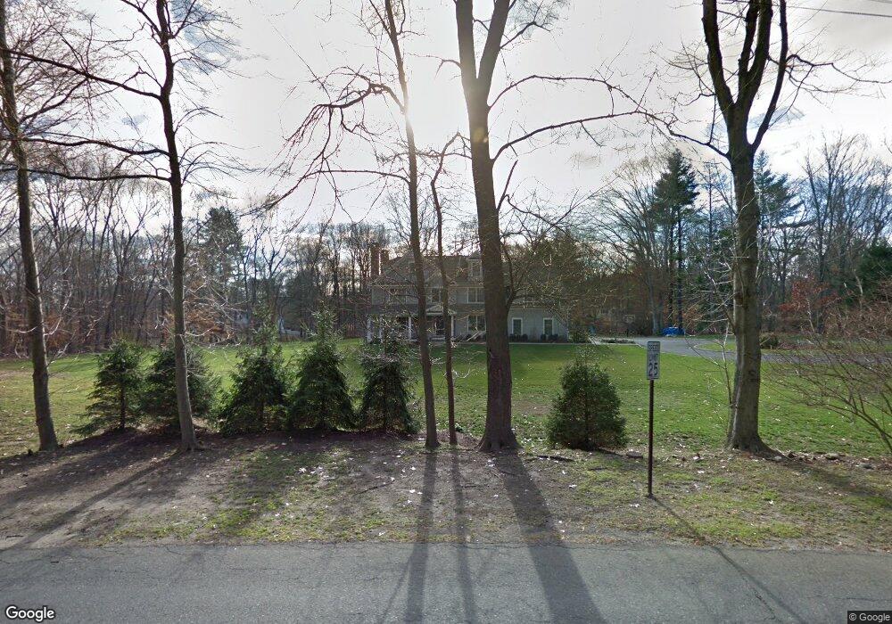
54 W Branch Rd Weston, CT 06883
Estimated Value: $1,996,000 - $3,062,024
3
Beds
2
Baths
1,764
Sq Ft
$1,430/Sq Ft
Est. Value
About This Home
This home is located at 54 W Branch Rd, Weston, CT 06883 and is currently estimated at $2,523,256, approximately $1,430 per square foot. 54 W Branch Rd is a home located in Fairfield County with nearby schools including Hurlbutt Elementary School, Weston Intermediate School, and Weston Middle School.
Ownership History
Date
Name
Owned For
Owner Type
Purchase Details
Closed on
Aug 19, 2011
Sold by
Barrington Homes 54 Ll
Bought by
Cobrin Lawrence and Cobrin Gena
Current Estimated Value
Purchase Details
Closed on
Oct 29, 2010
Sold by
Fcb Rem Llc
Bought by
Barrington Homes 54 Ll
Purchase Details
Closed on
Sep 28, 2010
Sold by
1St County Bk
Bought by
Fcb Rem Llc
Purchase Details
Closed on
Aug 19, 2010
Sold by
Lathan Lynda L
Bought by
First County Bk
Purchase Details
Closed on
Jul 14, 2008
Sold by
Ashe Christopher O and Ashe Peter M
Bought by
Lathan Lynda
Create a Home Valuation Report for This Property
The Home Valuation Report is an in-depth analysis detailing your home's value as well as a comparison with similar homes in the area
Home Values in the Area
Average Home Value in this Area
Purchase History
| Date | Buyer | Sale Price | Title Company |
|---|---|---|---|
| Cobrin Lawrence | $2,222,950 | -- | |
| Barrington Homes 54 Ll | $650,000 | -- | |
| Fcb Rem Llc | -- | -- | |
| First County Bk | -- | -- | |
| Lathan Lynda | $890,000 | -- |
Source: Public Records
Mortgage History
| Date | Status | Borrower | Loan Amount |
|---|---|---|---|
| Open | Lathan Lynda | $1,054,000 | |
| Closed | Lathan Lynda | $235,500 |
Source: Public Records
Tax History Compared to Growth
Tax History
| Year | Tax Paid | Tax Assessment Tax Assessment Total Assessment is a certain percentage of the fair market value that is determined by local assessors to be the total taxable value of land and additions on the property. | Land | Improvement |
|---|---|---|---|---|
| 2025 | $37,547 | $1,571,010 | $406,700 | $1,164,310 |
| 2024 | $36,872 | $1,571,010 | $406,700 | $1,164,310 |
| 2023 | $38,216 | $1,155,950 | $406,700 | $749,250 |
| 2022 | $38,112 | $1,155,950 | $406,700 | $749,250 |
| 2021 | $38,054 | $1,155,950 | $406,700 | $749,250 |
| 2020 | $37,418 | $1,155,950 | $406,700 | $749,250 |
| 2019 | $37,418 | $1,155,950 | $406,700 | $749,250 |
| 2018 | $37,737 | $1,284,000 | $416,500 | $867,500 |
| 2017 | $37,120 | $1,284,000 | $416,500 | $867,500 |
| 2016 | $36,671 | $1,284,000 | $416,500 | $867,500 |
| 2015 | $36,928 | $1,284,000 | $416,500 | $867,500 |
| 2014 | $36,260 | $1,284,000 | $416,500 | $867,500 |
Source: Public Records
Map
Nearby Homes
- 40 Hermit Ln
- 30 Cavalry Rd
- 4A Newtown Turnpike
- 17 Huckleberry Ln
- 31 Riverfield Dr
- 25 Hermit Ln
- 4 Good Hill Rd
- 87 Red Coat Rd
- 93 E Meadow Rd
- 14 Northfield Dr
- 32 Kettle Creek Rd
- 10 Twin Falls Ln
- 21 Warnock Dr
- 259 Wilton Rd
- 24 Warnock Dr
- 489 Main St
- 6 Tulip Tree Ln
- 483 Main St
- 9 Greenbrier Rd
- 81 Norfield Rd