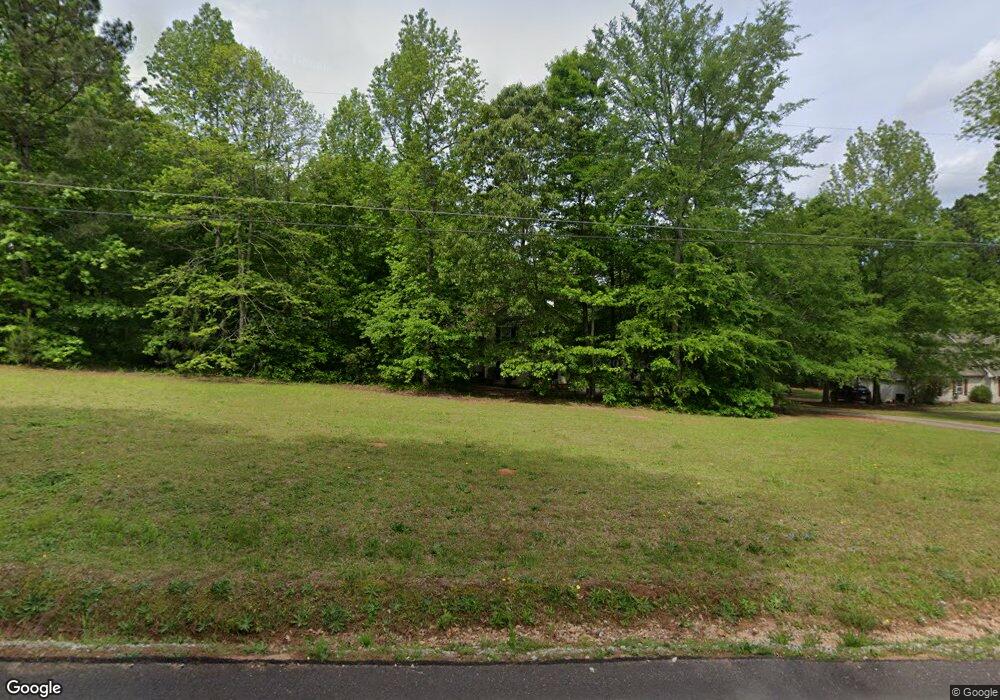
540 Austin Dr McDonough, GA 30252
Estimated Value: $283,000 - $293,000
3
Beds
3
Baths
1,667
Sq Ft
$173/Sq Ft
Est. Value
About This Home
This home is located at 540 Austin Dr, McDonough, GA 30252 and is currently estimated at $288,362, approximately $172 per square foot. 540 Austin Dr is a home located in Henry County with nearby schools including Ola Elementary School, Ola Middle School, and Ola High School.
Ownership History
Date
Name
Owned For
Owner Type
Purchase Details
Closed on
Jun 7, 2007
Sold by
Hud
Bought by
Maclin Lawanna M
Current Estimated Value
Home Financials for this Owner
Home Financials are based on the most recent Mortgage that was taken out on this home.
Original Mortgage
$108,300
Outstanding Balance
$66,160
Interest Rate
6.16%
Mortgage Type
FHA
Estimated Equity
$222,202
Purchase Details
Closed on
Jun 7, 2005
Sold by
Washington Mutual Bk Fa
Bought by
Hud
Purchase Details
Closed on
Oct 26, 2001
Sold by
Clint Adamson Homes
Bought by
Karr Russell W
Home Financials for this Owner
Home Financials are based on the most recent Mortgage that was taken out on this home.
Original Mortgage
$118,445
Interest Rate
6.67%
Mortgage Type
FHA
Create a Home Valuation Report for This Property
The Home Valuation Report is an in-depth analysis detailing your home's value as well as a comparison with similar homes in the area
Home Values in the Area
Average Home Value in this Area
Purchase History
| Date | Buyer | Sale Price | Title Company |
|---|---|---|---|
| Maclin Lawanna M | -- | -- | |
| Hud | -- | -- | |
| Washington Mutual Bk Fa | $133,011 | -- | |
| Karr Russell W | $120,400 | -- |
Source: Public Records
Mortgage History
| Date | Status | Borrower | Loan Amount |
|---|---|---|---|
| Open | Maclin Lawanna M | $108,300 | |
| Previous Owner | Karr Russell W | $118,445 |
Source: Public Records
Tax History Compared to Growth
Tax History
| Year | Tax Paid | Tax Assessment Tax Assessment Total Assessment is a certain percentage of the fair market value that is determined by local assessors to be the total taxable value of land and additions on the property. | Land | Improvement |
|---|---|---|---|---|
| 2024 | $3,206 | $112,840 | $13,680 | $99,160 |
| 2023 | $2,874 | $117,640 | $13,160 | $104,480 |
| 2022 | $2,816 | $93,800 | $12,160 | $81,640 |
| 2021 | $2,371 | $74,960 | $10,440 | $64,520 |
| 2020 | $2,213 | $68,280 | $9,800 | $58,480 |
| 2019 | $2,079 | $62,600 | $9,320 | $53,280 |
| 2018 | $1,961 | $57,600 | $8,600 | $49,000 |
| 2016 | $1,616 | $48,160 | $6,400 | $41,760 |
| 2015 | $1,359 | $40,640 | $7,200 | $33,440 |
| 2014 | $1,101 | $33,880 | $7,200 | $26,680 |
Source: Public Records
Map
Nearby Homes
- 530 Austin Dr
- 500 Austin Dr
- 4280 Highway 81 E
- 527 Barhams Ridge Dr
- 3000 Keeneland Blvd
- 144 Buddy Blvd
- 172 Austin Dr
- 545 Barhams Ridge Dr
- 132 Austin Dr
- 4075 O Henry Ct
- 393 Stallsworth Rd
- 501 Barhams Ridge Dr
- 40 Austin Dr
- 415 Pamela Ct
- 0 Keys Ferry Rd Unit 10362682
- 0 Keys Ferry Rd Unit 10362675
- 1908 Munford Place
- 507 Judith Ct Unit 3
- 124 Wynn Rd
- 323 Snapping Shoals Rd
- 550 Austin Dr
- 260 Albertas Ct
- 520 Austin Dr
- 250 Albertas Ct
- 240 Albertas Ct
- 525 Austin Dr
- 510 Austin Dr
- 265 Albertas Ct
- 570 Austin Dr
- 225 Albertas Ct
- 230 Albertas Ct
- 515 Austin Dr
- 580 Austin Dr
- 308 Dannies Ct
- 215 Albertas Ct
- 312 Dannies Ct
- 220 Albertas Ct
- 0 Albertas Ct Unit 7498747
- 0 Albertas Ct Unit 8681997
- 0 Albertas Ct Unit 8362681
