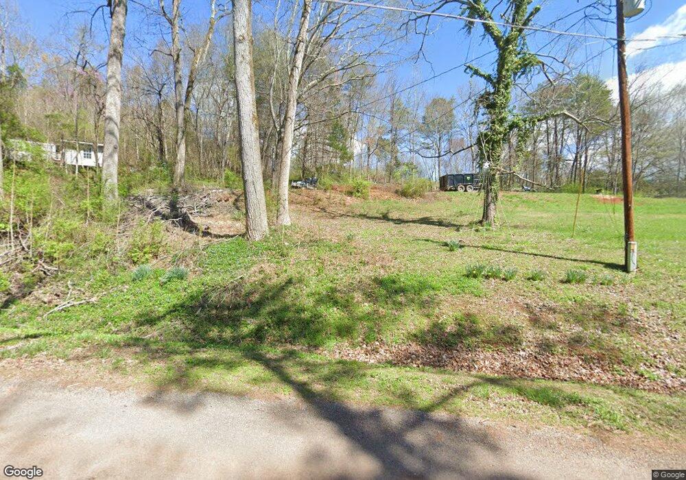
540 County Road 669 Athens, TN 37303
Estimated Value: $89,000 - $240,000
--
Bed
--
Bath
--
Sq Ft
2.27
Acres
About This Home
This home is located at 540 County Road 669, Athens, TN 37303 and is currently estimated at $168,756. 540 County Road 669 is a home.
Ownership History
Date
Name
Owned For
Owner Type
Purchase Details
Closed on
Oct 25, 2004
Sold by
Hammonds Bessie A
Bought by
Greene County Bank
Current Estimated Value
Purchase Details
Closed on
Jan 29, 2004
Sold by
Seaton John N
Bought by
Jns Properties
Purchase Details
Closed on
Oct 31, 2002
Bought by
Greene County Bank
Purchase Details
Closed on
Oct 30, 2002
Bought by
Bank Of America Na
Purchase Details
Closed on
Sep 25, 2002
Sold by
Harold Williams and Harold Joyce
Bought by
Marc Swafford
Purchase Details
Closed on
Feb 21, 1990
Bought by
Wright Rex and Wright Robin
Purchase Details
Closed on
Sep 10, 1985
Bought by
Wright Floyd
Purchase Details
Closed on
Jun 4, 1977
Create a Home Valuation Report for This Property
The Home Valuation Report is an in-depth analysis detailing your home's value as well as a comparison with similar homes in the area
Home Values in the Area
Average Home Value in this Area
Purchase History
| Date | Buyer | Sale Price | Title Company |
|---|---|---|---|
| Greene County Bank | -- | -- | |
| Jns Properties | -- | -- | |
| Greene County Bank | $112,100 | -- | |
| Bank Of America Na | $112,100 | -- | |
| Marc Swafford | $3,800 | -- | |
| Wright Rex | -- | -- | |
| Wright Floyd | -- | -- | |
| -- | -- | -- |
Source: Public Records
Tax History Compared to Growth
Tax History
| Year | Tax Paid | Tax Assessment Tax Assessment Total Assessment is a certain percentage of the fair market value that is determined by local assessors to be the total taxable value of land and additions on the property. | Land | Improvement |
|---|---|---|---|---|
| 2025 | $129 | $11,875 | $0 | $0 |
| 2024 | $129 | $11,875 | $6,375 | $5,500 |
| 2023 | $120 | $11,875 | $6,375 | $5,500 |
| 2022 | $121 | $7,800 | $4,025 | $3,775 |
| 2021 | $121 | $7,800 | $4,025 | $3,775 |
| 2020 | $121 | $7,800 | $4,025 | $3,775 |
| 2019 | $121 | $7,800 | $4,025 | $3,775 |
| 2018 | $121 | $7,800 | $4,025 | $3,775 |
| 2017 | $120 | $7,400 | $3,425 | $3,975 |
| 2016 | $120 | $7,400 | $3,425 | $3,975 |
| 2015 | -- | $7,400 | $3,425 | $3,975 |
| 2014 | $120 | $7,412 | $0 | $0 |
Source: Public Records
Map
Nearby Homes
- 530 County Road 669
- 409 County Road 675
- 285 County Road 675
- 461 County Road 705
- 00 County Rd
- 1323 Cedar Springs Rd
- 1159 Isahaya Ln
- 119 County Road 686
- 322 County Road 705
- 0 County Road 675
- 0000 County Road 675
- 000 County Road 675
- 1103 Skyridge Dr
- 1411 Wood Creek Dr
- 196 County Road 656
- 1490 Housley Dr
- 1498 Housley Dr
- 195 County Road 707
- 191 County Road 707
- 550 County Road 669
- 536 County Road 669
- 542 County Road 669
- 520 County Road 669
- 337 County Road 675
- Lot 13 County Road 669
- 0 Co Rd 675 Unit 931451
- 317 County Road 675
- 187 County Road 675
- 182 County Road 675
- 00 County Road 675
- 342 County Road 675 Unit 352
- 354 County Road 675
- 460 County Road 669
- 478 County Road 669
- 383 County Road 675
- 341 County Road 675
- 382 County Road 675
- 339 County Road 675
- 341 County Road 675