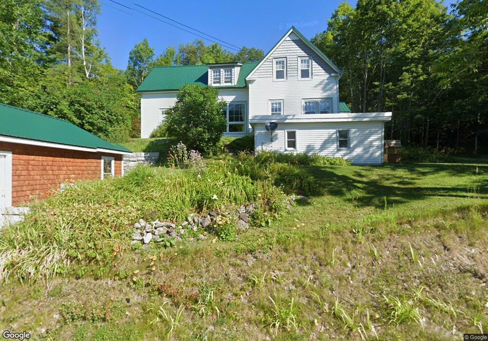
540 Durand Rd Randolph, NH 03593
Estimated Value: $379,000 - $494,000
3
Beds
3
Baths
2,586
Sq Ft
$175/Sq Ft
Est. Value
About This Home
This home is located at 540 Durand Rd, Randolph, NH 03593 and is currently estimated at $452,623, approximately $175 per square foot. 540 Durand Rd is a home located in Coos County with nearby schools including Edward Fenn Elementary School and Gorham High School.
Create a Home Valuation Report for This Property
The Home Valuation Report is an in-depth analysis detailing your home's value as well as a comparison with similar homes in the area
Home Values in the Area
Average Home Value in this Area
Tax History Compared to Growth
Tax History
| Year | Tax Paid | Tax Assessment Tax Assessment Total Assessment is a certain percentage of the fair market value that is determined by local assessors to be the total taxable value of land and additions on the property. | Land | Improvement |
|---|---|---|---|---|
| 2024 | $4,488 | $402,839 | $128,739 | $274,100 |
| 2023 | $4,699 | $240,498 | $74,598 | $165,900 |
| 2022 | $4,069 | $240,498 | $74,598 | $165,900 |
| 2021 | $3,719 | $240,546 | $74,646 | $165,900 |
| 2020 | $3,632 | $240,531 | $74,631 | $165,900 |
| 2019 | $3,470 | $234,431 | $74,631 | $159,800 |
| 2018 | $3,360 | $231,551 | $79,651 | $151,900 |
| 2017 | $3,394 | $231,537 | $79,637 | $151,900 |
| 2016 | $1,566 | $231,571 | $79,671 | $151,900 |
| 2015 | $3,389 | $231,505 | $79,605 | $151,900 |
| 2014 | $3,464 | $239,400 | $87,500 | $151,900 |
| 2012 | $3,193 | $199,800 | $73,900 | $125,900 |
Source: Public Records
Map
Nearby Homes
- 00 U S Highway 2
- 1174 Us Route 2
- 1502 US Route 2
- 00 Us Rte 2
- 1860 Presidential Hwy
- 280 Gorham Hill Rd
- 0 Presidential Hwy Unit 23669413
- 67 Owls Head Hwy
- 141 Lancaster Rd Unit 28
- 141 Lancaster Rd Unit 14
- 141 Lancaster Rd
- 141 Lancaster Rd Unit TRLR 1
- 22 Clay Brook Rd
- 23 Pine St
- 0 No Address Crossing Unit 5015901
- 0 Riverside Dr
- 11 Dublin St
- 240 Main St
- 23 Union St
- 6 Church St