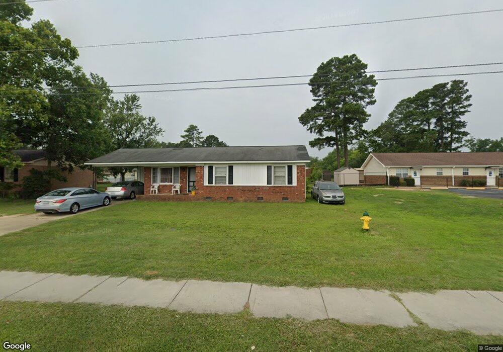
540 Glensford Dr Fayetteville, NC 28314
Douglas Byrd NeighborhoodEstimated Value: $134,000 - $166,874
3
Beds
2
Baths
1,091
Sq Ft
$143/Sq Ft
Est. Value
About This Home
This home is located at 540 Glensford Dr, Fayetteville, NC 28314 and is currently estimated at $155,719, approximately $142 per square foot. 540 Glensford Dr is a home located in Cumberland County with nearby schools including Montclair Elementary, Douglas Byrd High School, and Berean Baptist Academy.
Ownership History
Date
Name
Owned For
Owner Type
Purchase Details
Closed on
Aug 29, 2019
Sold by
Wrenn William Thomas and Wrenn Martha
Bought by
Richardson Crawford Rhonda and Crawford Jason Scott
Current Estimated Value
Home Financials for this Owner
Home Financials are based on the most recent Mortgage that was taken out on this home.
Original Mortgage
$54,400
Outstanding Balance
$47,844
Interest Rate
3.8%
Mortgage Type
New Conventional
Estimated Equity
$107,875
Create a Home Valuation Report for This Property
The Home Valuation Report is an in-depth analysis detailing your home's value as well as a comparison with similar homes in the area
Home Values in the Area
Average Home Value in this Area
Purchase History
| Date | Buyer | Sale Price | Title Company |
|---|---|---|---|
| Richardson Crawford Rhonda | $68,000 | Attorney |
Source: Public Records
Mortgage History
| Date | Status | Borrower | Loan Amount |
|---|---|---|---|
| Open | Richardson Crawford Rhonda | $54,400 |
Source: Public Records
Tax History Compared to Growth
Tax History
| Year | Tax Paid | Tax Assessment Tax Assessment Total Assessment is a certain percentage of the fair market value that is determined by local assessors to be the total taxable value of land and additions on the property. | Land | Improvement |
|---|---|---|---|---|
| 2024 | $2,030 | $77,611 | $13,500 | $64,111 |
| 2023 | $1,429 | $77,611 | $13,500 | $64,111 |
| 2022 | $1,239 | $77,611 | $13,500 | $64,111 |
| 2021 | $1,239 | $77,611 | $13,500 | $64,111 |
| 2019 | $1,204 | $68,200 | $13,500 | $54,700 |
| 2018 | $1,204 | $68,200 | $13,500 | $54,700 |
| 2017 | $1,101 | $68,200 | $13,500 | $54,700 |
| 2016 | $1,134 | $80,400 | $14,400 | $66,000 |
| 2015 | $1,123 | $80,400 | $14,400 | $66,000 |
| 2014 | $1,116 | $80,400 | $14,400 | $66,000 |
Source: Public Records
Map
Nearby Homes
- 544 Glensford Dr
- 548 Glensford Dr
- 4500 Westfield Rd
- 4418 Westfield Rd
- 552 Glensford Dr
- 4416 Westfield Rd
- 4502 Westfield Rd
- 4412 Westfield Rd
- 556 Glensford Dr
- 4504 Westfield Rd
- 4408 Westfield Rd
- 4501 Westfield Rd
- 4413 Westfield Rd
- 560 Glensford Dr
- 4506 Westfield Rd
- 4404 Westfield Rd
- 4505 Westfield Rd
- 4409 Westfield Rd
- 4405 Westfield Rd
- 573 Rock Spring Rd