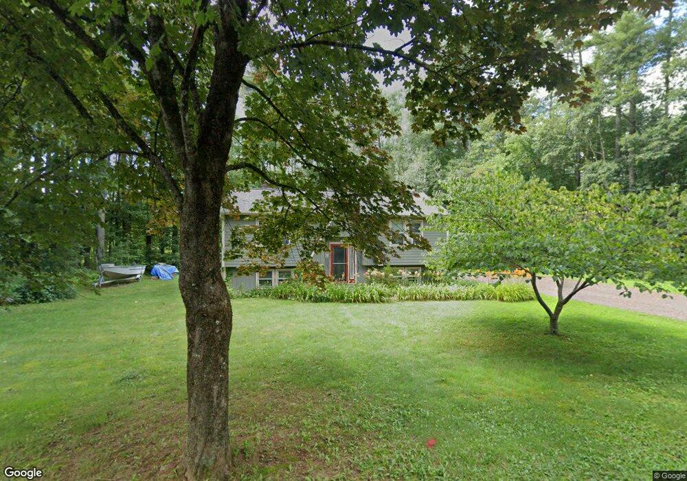
540 Michael Sears Rd Belchertown, MA 01007
Estimated Value: $283,000 - $362,121
3
Beds
1
Bath
1,343
Sq Ft
$232/Sq Ft
Est. Value
About This Home
This home is located at 540 Michael Sears Rd, Belchertown, MA 01007 and is currently estimated at $311,780, approximately $232 per square foot. 540 Michael Sears Rd is a home located in Hampshire County with nearby schools including Swift River Elementary School, Chestnut Hill Community School, and Jabish Middle School.
Ownership History
Date
Name
Owned For
Owner Type
Purchase Details
Closed on
Aug 1, 2018
Sold by
Benoit Debra A
Bought by
Fellers Stephen
Current Estimated Value
Purchase Details
Closed on
Sep 21, 2004
Sold by
Benoit Ronald R
Bought by
Benoit Debra A
Home Financials for this Owner
Home Financials are based on the most recent Mortgage that was taken out on this home.
Original Mortgage
$100,000
Interest Rate
6.02%
Mortgage Type
Purchase Money Mortgage
Purchase Details
Closed on
Nov 18, 1977
Bought by
Benoit Debra A
Create a Home Valuation Report for This Property
The Home Valuation Report is an in-depth analysis detailing your home's value as well as a comparison with similar homes in the area
Home Values in the Area
Average Home Value in this Area
Purchase History
| Date | Buyer | Sale Price | Title Company |
|---|---|---|---|
| Fellers Stephen | $130,000 | -- | |
| Benoit Debra A | -- | -- | |
| Benoit Debra A | -- | -- |
Source: Public Records
Mortgage History
| Date | Status | Borrower | Loan Amount |
|---|---|---|---|
| Previous Owner | Benoit Debra A | $100,000 | |
| Previous Owner | Benoit Debra A | $36,000 |
Source: Public Records
Tax History Compared to Growth
Tax History
| Year | Tax Paid | Tax Assessment Tax Assessment Total Assessment is a certain percentage of the fair market value that is determined by local assessors to be the total taxable value of land and additions on the property. | Land | Improvement |
|---|---|---|---|---|
| 2025 | $3,913 | $269,700 | $74,700 | $195,000 |
| 2024 | $3,925 | $256,200 | $67,600 | $188,600 |
| 2023 | $3,644 | $223,300 | $62,000 | $161,300 |
| 2022 | $3,611 | $204,500 | $62,000 | $142,500 |
| 2021 | $3,490 | $192,500 | $62,000 | $130,500 |
| 2020 | $3,430 | $188,800 | $62,000 | $126,800 |
| 2019 | $3,318 | $181,100 | $62,000 | $119,100 |
| 2018 | $3,303 | $181,600 | $63,300 | $118,300 |
| 2017 | $3,256 | $178,900 | $63,300 | $115,600 |
| 2016 | $3,204 | $178,300 | $63,300 | $115,000 |
| 2015 | $3,066 | $171,400 | $63,300 | $108,100 |
Source: Public Records
Map
Nearby Homes
- 23 High Bluff Rd
- 4 Sunny Crest Ln
- 31 High Bluff Rd
- 65 West St
- 0 N Liberty St
- 87-12 State St
- 3121-3123 Main St
- 308 N Liberty St
- L-1 491 N Liberty St
- 0 Michael Sears Rd
- Lot 38B Michael Sears Rd
- 3162-3164 High St
- 3145-3147 High St
- 0 S Washington St Unit 73386384
- 3012 Thorndike St
- 3090 Palmer St
- 517 S Washington St
- 17 Woodland Ln
- 36 Jim Ash Rd
- 20 Bondsville Rd
- 539 Michael Sears Rd
- 531 Michael Sears Rd
- 538 Michael Sears Rd
- 589 Bardwell St
- 116 Pine St
- 585 Bardwell St
- 522 Michael Sears Rd
- 527 Michael Sears Rd
- 110 Pine St
- 577 Bardwell St
- 521 Michael Sears Rd
- 580 Bardwell St
- 100 Pine St
- 571 Bardwell St
- 92 Pine St
- 101 Pine St
- 515 Michael Sears Rd
- 95 Pine St
- 103 Pine St
- 514 Michael Sears Rd