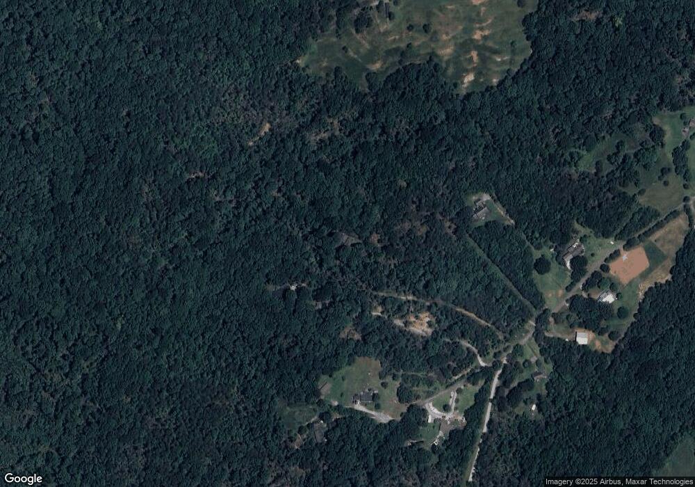
540 Newman Rd Roebuck, SC 29376
Estimated Value: $272,000 - $546,000
3
Beds
2
Baths
1,944
Sq Ft
$198/Sq Ft
Est. Value
About This Home
This home is located at 540 Newman Rd, Roebuck, SC 29376 and is currently estimated at $385,360, approximately $198 per square foot. 540 Newman Rd is a home with nearby schools including Dorman High School Freshman Campus and Dorman High School.
Ownership History
Date
Name
Owned For
Owner Type
Purchase Details
Closed on
Jan 30, 2025
Sold by
Reitmeier William A and Reitmeier Jane S
Bought by
Reitmeier William A and Reitmeier Jane S
Current Estimated Value
Purchase Details
Closed on
Mar 3, 2003
Sold by
Mason H Virginia
Bought by
Reitmerier William A and Reitmerier Jane S
Purchase Details
Closed on
Aug 9, 2002
Sold by
Lloyd E Angell/Angells Living Trust
Bought by
Larkins David M
Home Financials for this Owner
Home Financials are based on the most recent Mortgage that was taken out on this home.
Original Mortgage
$39,900
Interest Rate
12%
Mortgage Type
Seller Take Back
Purchase Details
Closed on
Jun 10, 2002
Sold by
Mason Thomas Wright and Boyd Ronita Mason
Bought by
Mason H Virginia
Home Financials for this Owner
Home Financials are based on the most recent Mortgage that was taken out on this home.
Original Mortgage
$39,900
Interest Rate
12%
Mortgage Type
Seller Take Back
Create a Home Valuation Report for This Property
The Home Valuation Report is an in-depth analysis detailing your home's value as well as a comparison with similar homes in the area
Purchase History
| Date | Buyer | Sale Price | Title Company |
|---|---|---|---|
| Reitmeier William A | -- | None Listed On Document | |
| Reitmerier William A | $130,000 | -- | |
| Larkins David M | $40,900 | -- | |
| Mason H Virginia | -- | -- |
Source: Public Records
Mortgage History
| Date | Status | Borrower | Loan Amount |
|---|---|---|---|
| Previous Owner | Larkins David M | $39,900 |
Source: Public Records
Tax History Compared to Growth
Tax History
| Year | Tax Paid | Tax Assessment Tax Assessment Total Assessment is a certain percentage of the fair market value that is determined by local assessors to be the total taxable value of land and additions on the property. | Land | Improvement |
|---|---|---|---|---|
| 2025 | $888 | $7,438 | $1,182 | $6,256 |
| 2024 | $888 | $7,438 | $1,182 | $6,256 |
| 2023 | $888 | $7,438 | $1,182 | $6,256 |
| 2022 | $782 | $6,468 | $1,001 | $5,467 |
| 2021 | $789 | $6,468 | $1,001 | $5,467 |
| 2020 | $767 | $6,468 | $1,001 | $5,467 |
| 2019 | $767 | $6,468 | $1,001 | $5,467 |
| 2018 | $770 | $6,468 | $1,001 | $5,467 |
| 2017 | $624 | $5,624 | $848 | $4,776 |
| 2016 | $624 | $5,624 | $848 | $4,776 |
| 2015 | $619 | $5,624 | $848 | $4,776 |
| 2014 | $596 | $5,624 | $848 | $4,776 |
Source: Public Records
Map
Nearby Homes
- 0 Cavalier Conection Dr Unit 298383
- 350 W River Grove Cir
- 305 Lawtonwood Ln
- 0 Cavalier Connection Way Unit 1549706
- 100 Caroline Dr
- Harrison Rd
- 0 U S 221 North Hwy
- 660 State Road S-42-2215
- Harrison Rd
- 310 Templeton Dr
- 120 Hatchett Rd
- 116 Hatchett Rd
- 212 Reedy River Ct
- 245 Thorncrest Dr
- 95 Stone Station Farm
- 943 Wando Rd
- 408 Congaree Rd
- 149 Davy Crockett Trail
- 511 Chattooga Rd
- 123 Graystone Dr
