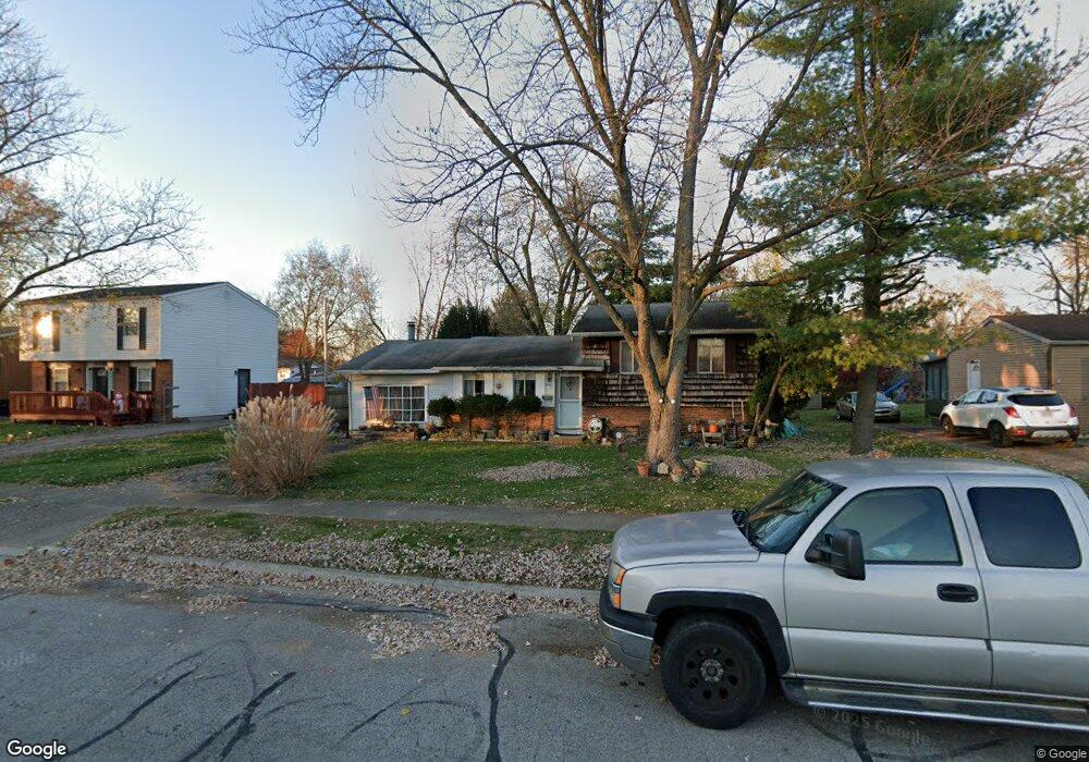
5400 Deforest Dr Columbus, OH 43232
East Columbus-White Ash NeighborhoodEstimated Value: $218,707 - $241,000
5
Beds
2
Baths
1,800
Sq Ft
$126/Sq Ft
Est. Value
About This Home
This home is located at 5400 Deforest Dr, Columbus, OH 43232 and is currently estimated at $226,177, approximately $125 per square foot. 5400 Deforest Dr is a home located in Franklin County with nearby schools including Groveport Madison High School, A+ Arts Academy, and Brice Christian Academy Elementary School.
Ownership History
Date
Name
Owned For
Owner Type
Purchase Details
Closed on
Oct 18, 2002
Sold by
Saul James J and Saul Teresa A
Bought by
Finneran Bonnie R
Current Estimated Value
Home Financials for this Owner
Home Financials are based on the most recent Mortgage that was taken out on this home.
Original Mortgage
$96,250
Outstanding Balance
$40,411
Interest Rate
6.18%
Mortgage Type
FHA
Estimated Equity
$185,766
Purchase Details
Closed on
Jun 4, 1971
Bought by
Saul James J
Create a Home Valuation Report for This Property
The Home Valuation Report is an in-depth analysis detailing your home's value as well as a comparison with similar homes in the area
Home Values in the Area
Average Home Value in this Area
Purchase History
| Date | Buyer | Sale Price | Title Company |
|---|---|---|---|
| Finneran Bonnie R | $97,800 | Lawyers Title | |
| Saul James J | -- | -- |
Source: Public Records
Mortgage History
| Date | Status | Borrower | Loan Amount |
|---|---|---|---|
| Open | Finneran Bonnie R | $96,250 |
Source: Public Records
Tax History Compared to Growth
Tax History
| Year | Tax Paid | Tax Assessment Tax Assessment Total Assessment is a certain percentage of the fair market value that is determined by local assessors to be the total taxable value of land and additions on the property. | Land | Improvement |
|---|---|---|---|---|
| 2024 | $2,890 | $59,720 | $16,630 | $43,090 |
| 2023 | $2,871 | $59,710 | $16,625 | $43,085 |
| 2022 | $2,156 | $35,600 | $6,550 | $29,050 |
| 2021 | $2,200 | $35,600 | $6,550 | $29,050 |
| 2020 | $2,205 | $35,600 | $6,550 | $29,050 |
| 2019 | $2,212 | $31,440 | $5,710 | $25,730 |
| 2018 | $2,172 | $31,440 | $5,710 | $25,730 |
| 2017 | $2,237 | $31,440 | $5,710 | $25,730 |
| 2016 | $2,117 | $26,950 | $4,270 | $22,680 |
| 2015 | $2,120 | $26,950 | $4,270 | $22,680 |
| 2014 | $1,951 | $26,950 | $4,270 | $22,680 |
| 2013 | $943 | $29,925 | $4,725 | $25,200 |
Source: Public Records
Map
Nearby Homes
- 3246 Latonia Rd
- 3387 Retriever Rd
- 5397 Jack Russell Way
- 5254 Sedalia Dr
- 5522 Newport Ct
- 5152 Burdett Dr
- 5391 Newport Rd
- 3773 Tylor Dr
- 2998 Osgood Rd E
- 5125 Upton Rd N
- 3773 Clearwater Dr
- 3496 Cadell Rd
- 3000 Whitlow Rd
- 3567 Wymore Place
- 3739 Atkinson Rd
- 4847 Amber Crossing Dr
- 5106 Harbor Blvd
- 5373 Spire Ln
- 4974 Silverton Dr
- 2901 Renfro Rd
- 5388 Deforest Dr
- 5410 Deforest Dr
- 3199 Latonia Rd
- 3205 Latonia Rd
- 5380 Deforest Dr
- 5420 Deforest Dr
- 3191 Latonia Rd
- 3215 Latonia Rd
- 3411 Everson Rd W
- 3187 Latonia Rd
- 5389 Deforest Dr
- 5372 Deforest Dr
- 5428 Deforest Dr
- 3221 Latonia Rd
- 5381 Deforest Dr
- 3410 Everson Rd W
- 3179 Latonia Rd
- 3233 Latonia Rd
- 5366 Deforest Dr
- 5440 Deforest Dr