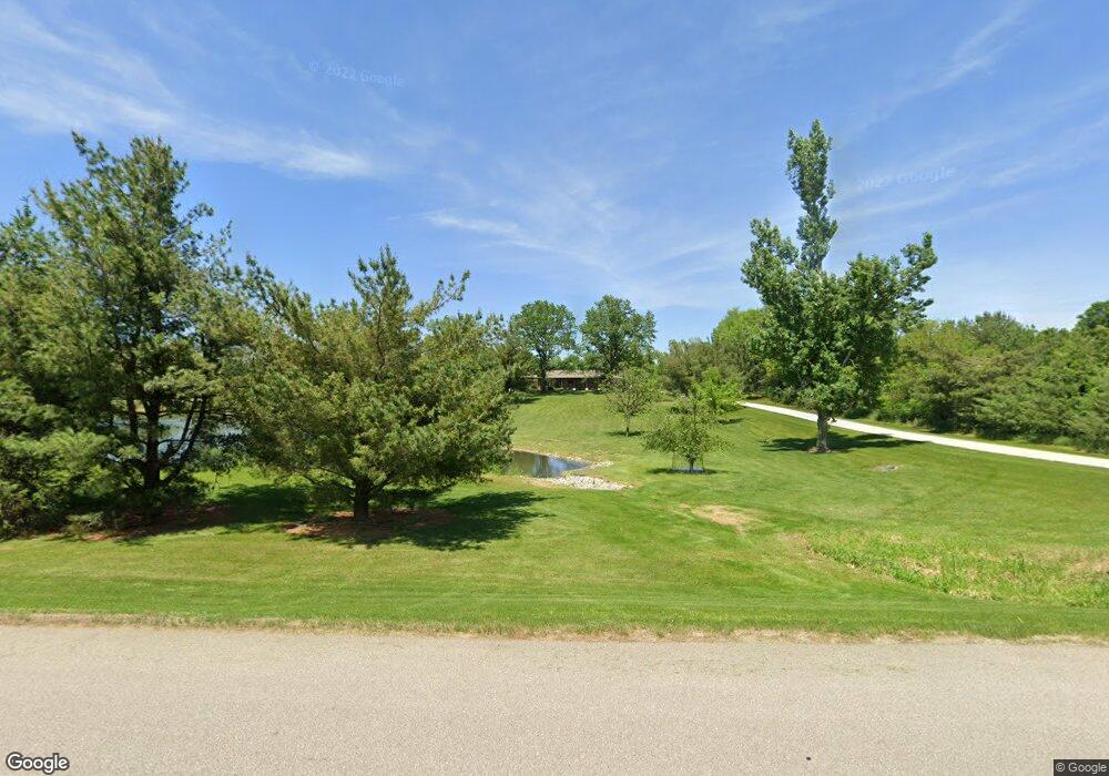
5400 Hunt Rd Cedar Rapids, IA 52411
Estimated Value: $610,000 - $1,027,969
4
Beds
2
Baths
3,130
Sq Ft
$262/Sq Ft
Est. Value
About This Home
This home is located at 5400 Hunt Rd, Cedar Rapids, IA 52411 and is currently estimated at $818,985, approximately $261 per square foot. 5400 Hunt Rd is a home with nearby schools including T.C. Cherry Elementary School, Hiawatha Elementary School, and Ponderosa Elementary School.
Ownership History
Date
Name
Owned For
Owner Type
Purchase Details
Closed on
Aug 1, 2018
Sold by
Bennett R Scott and Bennett Jerri Lynn
Bought by
Bennett Richard Scott and Bennett Jerri L
Current Estimated Value
Purchase Details
Closed on
Jan 4, 2011
Sold by
Bennett David A and Scott Bennett R
Bought by
Bennett R Scott and Bennett Jerri Lynn
Create a Home Valuation Report for This Property
The Home Valuation Report is an in-depth analysis detailing your home's value as well as a comparison with similar homes in the area
Home Values in the Area
Average Home Value in this Area
Purchase History
| Date | Buyer | Sale Price | Title Company |
|---|---|---|---|
| Bennett Richard Scott | -- | None Available | |
| Bennett R Scott | $264,500 | None Available |
Source: Public Records
Tax History Compared to Growth
Tax History
| Year | Tax Paid | Tax Assessment Tax Assessment Total Assessment is a certain percentage of the fair market value that is determined by local assessors to be the total taxable value of land and additions on the property. | Land | Improvement |
|---|---|---|---|---|
| 2025 | $14,022 | $1,550,600 | $152,500 | $1,398,100 |
| 2024 | $11,304 | $1,411,500 | $152,500 | $1,259,000 |
| 2023 | $11,304 | $1,217,400 | $16,300 | $1,201,100 |
| 2022 | $10,716 | $792,500 | $12,300 | $780,200 |
| 2021 | $13,296 | $760,500 | $12,300 | $748,200 |
| 2020 | $13,296 | $453,900 | $12,600 | $441,300 |
| 2019 | $2,722 | $185,000 | $17,300 | $167,700 |
| 2018 | $2,662 | $185,000 | $17,300 | $167,700 |
| 2017 | $2,606 | $177,000 | $19,200 | $157,800 |
| 2016 | $2,563 | $177,000 | $19,200 | $157,800 |
| 2015 | $2,595 | $178,900 | $21,100 | $157,800 |
| 2014 | $2,580 | $178,900 | $21,100 | $157,800 |
| 2013 | $2,528 | $178,900 | $21,100 | $157,800 |
Source: Public Records
Map
Nearby Homes
- 3534 Reed Rd
- 3526 Reed Rd
- 3553 Mclain Way
- 3551 Mclain Way
- 2858 Mary Green Rd
- 3658 Mclain Way
- 2856 Mary Green Rd
- Roland Plan at Rolling Prairie Estates
- Hamilton Plan at Rolling Prairie Estates
- Bellhaven Plan at Rolling Prairie Estates
- Harmony Plan at Rolling Prairie Estates
- 3660 Mclain Way
- 3012 Prairielight Ct
- 3003 Prairielight Dr
- 2852 Mary Green Rd
- 3003 Prairielight Ct
- 2850 Mary Green Rd
- 2928 Timber Creek Ct
- 2853 Mary Green Rd
- 3667 Mclain Way
- 5210 Hunt Rd
- 5190 Hunt Rd
- 2921 Savannah Dr
- 4822 Bovary Ct
- 5100 Hunt Rd
- 5404 Hunt Rd
- 2919 Savannah Dr
- 3034 Savannah Ct
- 4823 Bovary Ct
- 4820 Bovary Ct
- 2917 Savannah Dr
- 5050 Hunt Rd
- LOT 15 Savannah Ct
- LOT 3 Savannah Dr
- LOT 14 Savannah Ct
- LOT 13 Savannah Ct
- LOT 12 Savannah Ct
- LOT 11 Savannah Ct
- LOT 10 Savannah Ct
- LOT 9 Savannah Ct