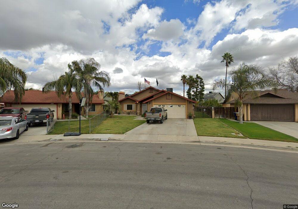
5400 Post St Unit 2 Bakersfield, CA 93307
South Wible Orchard NeighborhoodEstimated Value: $298,755 - $357,000
3
Beds
2
Baths
1,242
Sq Ft
$266/Sq Ft
Est. Value
About This Home
This home is located at 5400 Post St Unit 2, Bakersfield, CA 93307 and is currently estimated at $330,439, approximately $266 per square foot. 5400 Post St Unit 2 is a home located in Kern County with nearby schools including Raffaello Palla Elementary School, Greenfield Middle School, and South High School.
Ownership History
Date
Name
Owned For
Owner Type
Purchase Details
Closed on
Sep 25, 2020
Sold by
Bravo Alfredo A and Bravo Lucila M
Bought by
Bravo Alfredo A and Bravo Lucila M
Current Estimated Value
Purchase Details
Closed on
Nov 21, 2019
Sold by
Bravo Alfredo A and Bravo Lucila M
Bought by
Bravo Alfredo A and Bravo Lucila M
Purchase Details
Closed on
Nov 8, 1993
Sold by
Cramer Lon and Cramer Charleen A
Bought by
Bravo Alfredo A and Bravo Lucila M
Home Financials for this Owner
Home Financials are based on the most recent Mortgage that was taken out on this home.
Original Mortgage
$79,001
Interest Rate
6.89%
Mortgage Type
FHA
Create a Home Valuation Report for This Property
The Home Valuation Report is an in-depth analysis detailing your home's value as well as a comparison with similar homes in the area
Home Values in the Area
Average Home Value in this Area
Purchase History
| Date | Buyer | Sale Price | Title Company |
|---|---|---|---|
| Bravo Alfredo A | -- | None Available | |
| Bravo Alfredo A | -- | None Available | |
| Bravo Alfredo A | $79,000 | Commonwealth Land Title |
Source: Public Records
Mortgage History
| Date | Status | Borrower | Loan Amount |
|---|---|---|---|
| Previous Owner | Bravo Alfredo A | $79,001 |
Source: Public Records
Tax History
| Year | Tax Paid | Tax Assessment Tax Assessment Total Assessment is a certain percentage of the fair market value that is determined by local assessors to be the total taxable value of land and additions on the property. | Land | Improvement |
|---|---|---|---|---|
| 2025 | $2,166 | $134,242 | $37,378 | $96,864 |
| 2024 | $2,110 | $131,611 | $36,646 | $94,965 |
| 2023 | $2,110 | $129,031 | $35,928 | $93,103 |
| 2022 | $2,076 | $126,502 | $35,224 | $91,278 |
| 2021 | $1,963 | $124,023 | $34,534 | $89,489 |
| 2020 | $1,909 | $122,752 | $34,180 | $88,572 |
| 2019 | $1,878 | $122,752 | $34,180 | $88,572 |
| 2018 | $1,804 | $117,987 | $32,853 | $85,134 |
| 2017 | $1,781 | $115,674 | $32,209 | $83,465 |
| 2016 | $1,691 | $113,407 | $31,578 | $81,829 |
| 2015 | $1,667 | $111,704 | $31,104 | $80,600 |
| 2014 | $1,637 | $109,517 | $30,495 | $79,022 |
Source: Public Records
Map
Nearby Homes
- 5500 Post St
- 1304 Santiago Ct
- 5712 Monitor St
- 1304 Canyon Ct
- 5712 Osborne St
- 5708 Osborne St
- 1001 Giuseppe Ct
- 5817 Osborne Ct
- 499 Pacheco Rd Unit 122
- 499 Pacheco Rd Unit 126
- 499 Pacheco Rd Unit 141
- 5217 Stancliff St
- 5320 Jonah St
- 5825 Lenz Ct
- 5804 Chandler Way
- 4804 Olivia St
- 4808 Stancliff Ct
- 4600 Alexander St
- 4600 Lantados St
- 5833 S Union Ave
- 1000 Oneill Ave
- 5404 Post St
- 5405 Monitor St
- 5409 Monitor St
- 5401 Monitor St
- 917 Kyner Ave
- 1004 Oneill Ave
- 921 Kyner Ave
- 5413 Monitor St
- 913 Kyner Ave
- 5408 Post St
- 925 Kyner Ave
- 909 Kyner Ave
- 5417 Monitor St
- 929 Kyner Ave
- 905 Kyner Ave
- 5421 Monitor St
- 1008 Oneill Ave Unit 2
- 1001 Kyner Ave
- 901 Kyner Ave
Your Personal Tour Guide
Ask me questions while you tour the home.