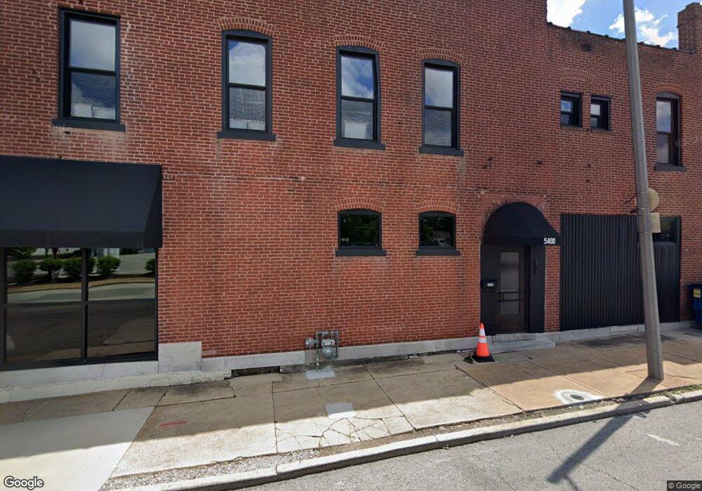
5400 Southwest Ave St. Louis, MO 63139
Southwest Garden NeighborhoodEstimated Value: $472,264
--
Bed
--
Bath
4,536
Sq Ft
$104/Sq Ft
Est. Value
About This Home
This home is located at 5400 Southwest Ave, St. Louis, MO 63139 and is currently estimated at $472,264, approximately $104 per square foot. 5400 Southwest Ave is a home located in St. Louis City with nearby schools including Mason Elementary School, Long International Middle School, and Roosevelt High School.
Ownership History
Date
Name
Owned For
Owner Type
Purchase Details
Closed on
Nov 7, 2019
Sold by
Ponciroli Stanley and Ponciroli Patricia
Bought by
Falcons Nest Llc
Current Estimated Value
Home Financials for this Owner
Home Financials are based on the most recent Mortgage that was taken out on this home.
Original Mortgage
$260,000
Outstanding Balance
$228,960
Interest Rate
3.65%
Mortgage Type
Future Advance Clause Open End Mortgage
Estimated Equity
$243,304
Purchase Details
Closed on
Feb 28, 2000
Sold by
Consolino Joseph and Locastro Mary
Bought by
Ponciroli Stanley and Ponciroli Patricia
Home Financials for this Owner
Home Financials are based on the most recent Mortgage that was taken out on this home.
Original Mortgage
$120,000
Interest Rate
8.31%
Mortgage Type
Commercial
Create a Home Valuation Report for This Property
The Home Valuation Report is an in-depth analysis detailing your home's value as well as a comparison with similar homes in the area
Home Values in the Area
Average Home Value in this Area
Purchase History
| Date | Buyer | Sale Price | Title Company |
|---|---|---|---|
| Falcons Nest Llc | $325,000 | None Available | |
| Ponciroli Stanley | -- | -- |
Source: Public Records
Mortgage History
| Date | Status | Borrower | Loan Amount |
|---|---|---|---|
| Open | Falcons Nest Llc | $260,000 | |
| Previous Owner | Ponciroli Stanley | $120,000 |
Source: Public Records
Tax History Compared to Growth
Tax History
| Year | Tax Paid | Tax Assessment Tax Assessment Total Assessment is a certain percentage of the fair market value that is determined by local assessors to be the total taxable value of land and additions on the property. | Land | Improvement |
|---|---|---|---|---|
| 2025 | $8,009 | $102,600 | $8,000 | $94,600 |
| 2024 | $7,679 | $80,000 | $8,000 | $72,000 |
| 2023 | $7,679 | $80,000 | $8,000 | $72,000 |
| 2022 | $6,340 | $64,000 | $8,000 | $56,000 |
| 2021 | $2,763 | $28,690 | $6,310 | $22,380 |
| 2020 | $2,745 | $28,690 | $6,310 | $22,380 |
| 2019 | $2,737 | $28,690 | $6,310 | $22,380 |
| 2018 | $2,811 | $28,690 | $6,310 | $22,380 |
| 2017 | $2,770 | $28,690 | $6,310 | $22,380 |
| 2016 | $2,800 | $28,690 | $6,310 | $22,380 |
| 2015 | $2,573 | $28,690 | $6,310 | $22,380 |
| 2014 | $2,572 | $28,690 | $6,310 | $22,380 |
| 2013 | -- | $28,690 | $6,310 | $22,380 |
Source: Public Records
Map
Nearby Homes
- 5366 Magnolia Ave
- 5431 Odell St
- 5330 Odell St
- 5363 Arsenal St
- 5425 Arsenal St
- 2907 Brannon Ave
- 5636 Columbia Ave
- 2235 Edwards St
- 2840 Dalton Ave
- 2817 Dalton Ave
- 4989 Odell St
- 2730 S 59th St
- 2732 S 59th St
- 2235 Cuggiono Ct
- 3149 Lavender Ln
- 2205 Stephen Ave
- 3137 Parc Ridge Ln
- 5632 Bischoff Ave
- 4935 Reber Place
- 5918 Southwest Ave
- 5400 Magnolia Ave
- 5402 Magnolia Ave
- 5404 Magnolia Ave
- 5410 Magnolia Ave
- 2700 MacKlind Ave Unit 1
- 2700 MacKlind Ave
- 5414 Magnolia Ave
- 2706 MacKlind Ave
- 2711 MacKlind Ave
- 5408 Magnolia Ave
- 2708 MacKlind Ave
- 5380 Magnolia Ave
- 5376 Magnolia Ave
- 2715 MacKlind Ave
- 5418 Magnolia Ave
- 2714 MacKlind (Tbb) Ave
- 2710 MacKlind Ave
- 5374 Magnolia Ave
- 5374 Magnolia Tbb
- 5420 Magnolia Ave