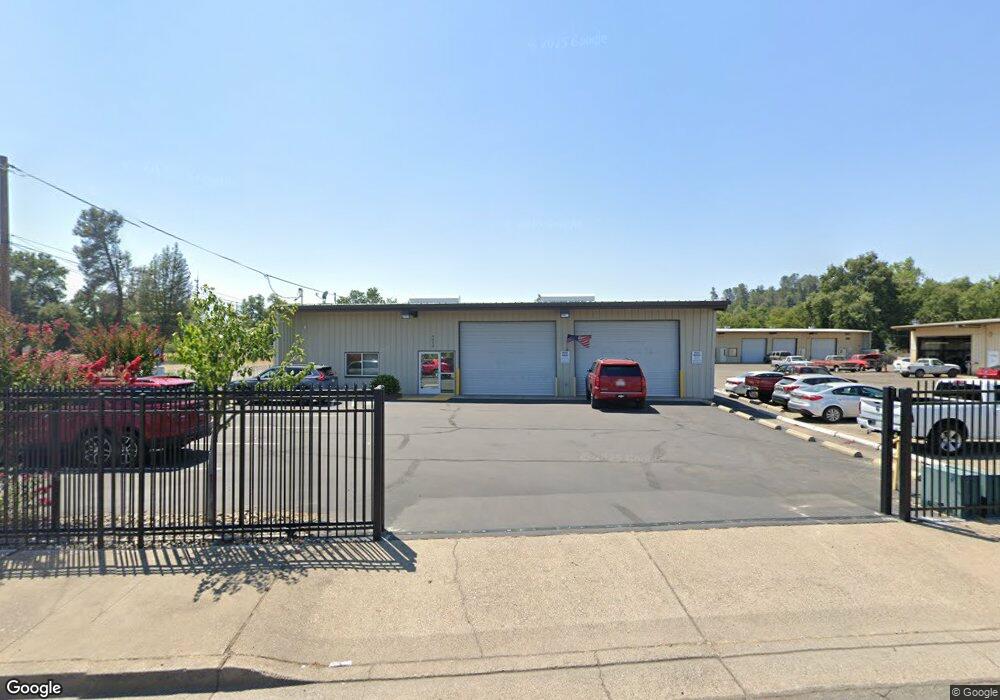
5400 Westside Rd Redding, CA 96001
Branstetter Neighborhood
Studio
--
Bath
4,175
Sq Ft
10,934
Sq Ft Lot
About This Home
This home is located at 5400 Westside Rd, Redding, CA 96001. 5400 Westside Rd is a home located in Shasta County with nearby schools including Sycamore Elementary School, Sequoia Middle School, and Shasta High School.
Ownership History
Date
Name
Owned For
Owner Type
Purchase Details
Closed on
Jan 8, 2025
Sold by
Lewallen David L and Lewallen Diana L
Bought by
Lewallen Family 2021 Trust and Lewallen
Purchase Details
Closed on
Mar 9, 2012
Sold by
Cal Four Incorporated
Bought by
Lewallen David L and Lewallen Diana L
Home Financials for this Owner
Home Financials are based on the most recent Mortgage that was taken out on this home.
Original Mortgage
$108,000
Interest Rate
3.83%
Mortgage Type
Seller Take Back
Create a Home Valuation Report for This Property
The Home Valuation Report is an in-depth analysis detailing your home's value as well as a comparison with similar homes in the area
Home Values in the Area
Average Home Value in this Area
Purchase History
| Date | Buyer | Sale Price | Title Company |
|---|---|---|---|
| Lewallen Family 2021 Trust | -- | None Listed On Document | |
| Lewallen David L | $120,000 | Placer Title Company |
Source: Public Records
Mortgage History
| Date | Status | Borrower | Loan Amount |
|---|---|---|---|
| Previous Owner | Lewallen David L | $108,000 |
Source: Public Records
Tax History
| Year | Tax Paid | Tax Assessment Tax Assessment Total Assessment is a certain percentage of the fair market value that is determined by local assessors to be the total taxable value of land and additions on the property. | Land | Improvement |
|---|---|---|---|---|
| 2025 | $805 | $72,095 | $25,114 | $46,981 |
| 2024 | $793 | $70,682 | $24,622 | $46,060 |
| 2023 | $793 | $69,297 | $24,140 | $45,157 |
| 2022 | $780 | $67,939 | $23,667 | $44,272 |
| 2021 | $776 | $66,607 | $23,203 | $43,404 |
| 2020 | $786 | $65,925 | $22,966 | $42,959 |
| 2019 | $749 | $64,633 | $22,516 | $42,117 |
| 2018 | $755 | $63,367 | $22,075 | $41,292 |
| 2017 | $751 | $62,126 | $21,643 | $40,483 |
| 2016 | $729 | $60,909 | $21,219 | $39,690 |
| 2015 | $720 | $59,995 | $20,901 | $39,094 |
| 2014 | $606 | $48,992 | $20,492 | $28,500 |
Source: Public Records
Map
Nearby Homes
- 4920 Bonnyview Ave
- 5812 Cedars Rd Unit 43
- 5812 Cedars Rd Unit 13
- 5812 Cedars Rd Unit 36
- 5812 Cedars Rd Unit 3
- 2340 Wilsey Dr
- 2381 S Bonnyview Rd
- 2200 Jewell Ln
- 3232 Nicolet Ln
- 2521 Radio Ln
- 4549 Harrison Ave
- 2237 Jewell Ln
- 5855 Live Oak Ln
- 2230 El Reno Ln
- 2339 North Dr
- 3500 Pioneer Ln
- 4410 Westside Rd
- 2415 Marion Ct
- 0 Lot4 Unit 2 Ph 2 Stillwater Unit 25-4962
- 0 Lot3 Unit 2 Ph 2 Stillwater Unit 25-4961
- 5420 Westside Rd
- 5460 Westside Rd
- 5360 Westside Rd
- 2192 Branstetter Ln
- 2190 Branstetter Ln
- 2170 Branstetter Ln
- 2158 Branstetter Ln
- 5500 Westside Rd
- 5246 Westside Rd
- 5250 Westside Rd
- 2160 Branstetter Ln
- 2140 Branstetter Ln
- 2162 Bransetter
- 5355 Eastside Rd
- 2175 Branstetter Ln
- 2130 Branstetter Ln
- 5481 Eastside Rd
- 5240 Westside Rd
- 2124 Branstetter Ln
- 2080 Moore Rd
Your Personal Tour Guide
Ask me questions while you tour the home.