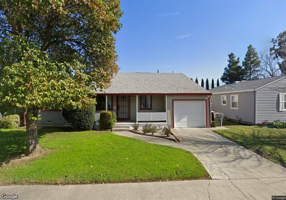
5401 Michael Way Sacramento, CA 95822
South Land Park NeighborhoodEstimated Value: $413,000 - $559,000
2
Beds
2
Baths
1,659
Sq Ft
$286/Sq Ft
Est. Value
About This Home
This home is located at 5401 Michael Way, Sacramento, CA 95822 and is currently estimated at $474,755, approximately $286 per square foot. 5401 Michael Way is a home located in Sacramento County with nearby schools including Sutterville Elementary School, California Middle, and C. K. McClatchy High.
Ownership History
Date
Name
Owned For
Owner Type
Purchase Details
Closed on
Aug 25, 2021
Sold by
Kwan Wei Kee
Bought by
Kee Kwan Wei And Connie King Wei Revocable Tr and Wei Connie W
Current Estimated Value
Create a Home Valuation Report for This Property
The Home Valuation Report is an in-depth analysis detailing your home's value as well as a comparison with similar homes in the area
Home Values in the Area
Average Home Value in this Area
Purchase History
| Date | Buyer | Sale Price | Title Company |
|---|---|---|---|
| Kee Kwan Wei And Connie King Wei Revocable Tr | -- | None Listed On Document |
Source: Public Records
Tax History Compared to Growth
Tax History
| Year | Tax Paid | Tax Assessment Tax Assessment Total Assessment is a certain percentage of the fair market value that is determined by local assessors to be the total taxable value of land and additions on the property. | Land | Improvement |
|---|---|---|---|---|
| 2025 | $2,003 | $156,645 | $51,775 | $104,870 |
| 2024 | $2,003 | $153,574 | $50,760 | $102,814 |
| 2023 | $1,956 | $150,564 | $49,765 | $100,799 |
| 2022 | $1,921 | $147,613 | $48,790 | $98,823 |
| 2021 | $1,834 | $144,720 | $47,834 | $96,886 |
| 2020 | $1,843 | $143,237 | $47,344 | $95,893 |
| 2019 | $1,804 | $140,429 | $46,416 | $94,013 |
| 2018 | $1,757 | $137,676 | $45,506 | $92,170 |
| 2017 | $1,731 | $134,977 | $44,614 | $90,363 |
| 2016 | $1,629 | $132,332 | $43,740 | $88,592 |
| 2015 | $1,594 | $130,345 | $43,083 | $87,262 |
| 2014 | $1,552 | $127,793 | $42,240 | $85,553 |
Source: Public Records
Map
Nearby Homes
- 5531 Michael Way
- 1810 Opper Ave
- 1621 Fruitridge Rd
- 2117 Fruitridge Rd
- 1433 32nd Ave
- 1432 Oregon Dr
- 1428 Tradewinds Ave
- 4989 Virginia Way
- 1548 London St
- 2225 Irvin Way
- 5453 Parish Ct
- 1436 Sterling St
- 5604 Johns Dr
- 5200 Pleasant Dr
- 4913 23rd St
- 5440 Pleasant Dr
- 5660 Jacks Ln
- 1224 Nevis Ct
- 4721 Custis Ave
- 4400 Capri Way
- 5411 Michael Way
- 5341 Michael Way
- 5421 Michael Way
- 5331 Michael Way
- 5340 Michael Way
- 5400 Michael Way
- 5410 Michael Way
- 5431 Michael Way
- 1830 Oregon Dr
- 5420 Michael Way
- 5341 Ashland Way
- 5430 Michael Way
- 5401 Ashland Way
- 1810 Oregon Dr
- 1901 Oregon Dr
- 1911 Oregon Dr
- 1841 Oregon Dr
- 5411 Ashland Way
- 1921 Oregon Dr
- 5501 Michael Way