5404 Hunt Rd Cedar Rapids, IA 52411
Estimated Value: $381,000 - $451,000
3
Beds
2
Baths
1,449
Sq Ft
$287/Sq Ft
Est. Value
About This Home
This home is located at 5404 Hunt Rd, Cedar Rapids, IA 52411 and is currently estimated at $415,768, approximately $286 per square foot. 5404 Hunt Rd is a home located in Linn County with nearby schools including T.C. Cherry Elementary School, Hiawatha Elementary School, and Ponderosa Elementary School.
Ownership History
Date
Name
Owned For
Owner Type
Purchase Details
Closed on
Oct 4, 2002
Sold by
Mauck Daniel C and Mauck Anna Horton
Bought by
Hoeppner Roger D and Hoeppner Susan J
Current Estimated Value
Home Financials for this Owner
Home Financials are based on the most recent Mortgage that was taken out on this home.
Original Mortgage
$130,000
Interest Rate
6.39%
Create a Home Valuation Report for This Property
The Home Valuation Report is an in-depth analysis detailing your home's value as well as a comparison with similar homes in the area
Home Values in the Area
Average Home Value in this Area
Purchase History
| Date | Buyer | Sale Price | Title Company |
|---|---|---|---|
| Hoeppner Roger D | $219,500 | -- |
Source: Public Records
Mortgage History
| Date | Status | Borrower | Loan Amount |
|---|---|---|---|
| Closed | Hoeppner Roger D | $130,000 |
Source: Public Records
Tax History Compared to Growth
Tax History
| Year | Tax Paid | Tax Assessment Tax Assessment Total Assessment is a certain percentage of the fair market value that is determined by local assessors to be the total taxable value of land and additions on the property. | Land | Improvement |
|---|---|---|---|---|
| 2025 | $3,732 | $422,500 | $128,000 | $294,500 |
| 2024 | $3,878 | $383,400 | $128,000 | $255,400 |
| 2023 | $3,878 | $347,600 | $92,200 | $255,400 |
| 2022 | $3,830 | $321,900 | $128,000 | $193,900 |
| 2021 | $3,870 | $321,900 | $128,000 | $193,900 |
| 2020 | $3,870 | $268,100 | $71,300 | $196,800 |
| 2019 | $3,580 | $253,900 | $71,300 | $182,600 |
| 2018 | $3,502 | $253,900 | $71,300 | $182,600 |
| 2017 | $3,555 | $244,300 | $71,300 | $173,000 |
| 2016 | $3,555 | $244,300 | $71,300 | $173,000 |
| 2015 | $3,579 | $244,300 | $71,300 | $173,000 |
| 2014 | $3,450 | $244,300 | $71,300 | $173,000 |
| 2013 | $3,378 | $244,300 | $71,300 | $173,000 |
Source: Public Records
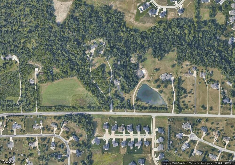
Map
Nearby Homes
- 3534 Reed Rd
- 3551 Mclain Way
- 3553 Mclain Way
- 3012 Prairielight Ct
- 3526 Reed Rd
- 3003 Prairielight Dr
- 3003 Prairielight Ct
- 3658 Mclain Way
- 3660 Mclain Way
- 2858 Mary Green Rd
- 2856 Mary Green Rd
- Roland Plan at Rolling Prairie Estates
- Hamilton Plan at Rolling Prairie Estates
- Bellhaven Plan at Rolling Prairie Estates
- Harmony Plan at Rolling Prairie Estates
- 3667 Mclain Way
- 3664 Mclain Way
- 2852 Mary Green Rd
- 2850 Mary Green Rd
- 3669 Mclain Way
- 5510 Hunt Rd
- 5512 Hunt Rd
- 3040 Savannah Ct
- 3042 Savannah Ct
- 3034 Savannah Ct
- 3044 Savannah Ct
- 5400 Hunt Rd
- LOT 15 Savannah Ct
- LOT 3 Savannah Dr
- LOT 14 Savannah Ct
- LOT 13 Savannah Ct
- LOT 12 Savannah Ct
- LOT 11 Savannah Ct
- LOT 10 Savannah Ct
- LOT 9 Savannah Ct
- LOT 8 Savannah Ct
- LOT 7 Savannah Ct
- LOT 6 Savannah Ct
- LOT 5 Savannah Ct
- LOT 2 Savannah Dr