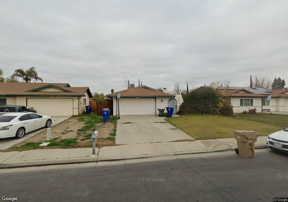
5404 New Grove Ave Bakersfield, CA 93309
Spice NeighborhoodEstimated Value: $305,373 - $325,000
3
Beds
2
Baths
1,264
Sq Ft
$248/Sq Ft
Est. Value
About This Home
This home is located at 5404 New Grove Ave, Bakersfield, CA 93309 and is currently estimated at $313,843, approximately $248 per square foot. 5404 New Grove Ave is a home located in Kern County with nearby schools including Charles H. Castle Elementary School, O.J. Actis Junior High School, and West High School.
Ownership History
Date
Name
Owned For
Owner Type
Purchase Details
Closed on
Apr 17, 2001
Sold by
Guerra Domingo P and Guerra Kristin Lyn S
Bought by
Berkshire David Ray
Current Estimated Value
Home Financials for this Owner
Home Financials are based on the most recent Mortgage that was taken out on this home.
Original Mortgage
$83,686
Outstanding Balance
$30,758
Interest Rate
6.98%
Mortgage Type
FHA
Estimated Equity
$283,085
Create a Home Valuation Report for This Property
The Home Valuation Report is an in-depth analysis detailing your home's value as well as a comparison with similar homes in the area
Home Values in the Area
Average Home Value in this Area
Purchase History
| Date | Buyer | Sale Price | Title Company |
|---|---|---|---|
| Berkshire David Ray | $85,000 | First American Title Co |
Source: Public Records
Mortgage History
| Date | Status | Borrower | Loan Amount |
|---|---|---|---|
| Open | Berkshire David Ray | $83,686 |
Source: Public Records
Tax History
| Year | Tax Paid | Tax Assessment Tax Assessment Total Assessment is a certain percentage of the fair market value that is determined by local assessors to be the total taxable value of land and additions on the property. | Land | Improvement |
|---|---|---|---|---|
| 2025 | $2,140 | $128,054 | $45,191 | $82,863 |
| 2024 | $2,100 | $125,544 | $44,305 | $81,239 |
| 2023 | $2,100 | $123,084 | $43,437 | $79,647 |
| 2022 | $2,010 | $120,672 | $42,586 | $78,086 |
| 2021 | $1,904 | $118,306 | $41,751 | $76,555 |
| 2020 | $1,859 | $117,094 | $41,323 | $75,771 |
| 2019 | $1,833 | $117,094 | $41,323 | $75,771 |
| 2018 | $1,757 | $112,549 | $39,719 | $72,830 |
| 2017 | $1,731 | $110,343 | $38,941 | $71,402 |
| 2016 | $1,631 | $108,180 | $38,178 | $70,002 |
| 2015 | $1,613 | $106,556 | $37,605 | $68,951 |
| 2014 | $1,571 | $104,470 | $36,869 | $67,601 |
Source: Public Records
Map
Nearby Homes
- 5409 Appletree Ln
- 5409 Peppertree Ln
- 5812 Appletree Ln
- 5709 Wonder Ln
- 5901 Wilson Rd
- 5701 Wilson Rd
- 5611 Wilson Rd
- 5001 Appleblossom Dr
- 2625 Westholme Blvd
- 2508 Prestwick Ct
- 2415 Bladen St
- 2416 Bladen St
- 3535 Stine Rd Unit 148
- 3535 Stine Rd Unit 159
- 3535 Stine Rd Unit 48
- 3535 Stine Rd Unit 17
- 3535 Stine Rd Unit 14
- 3535 Stine Rd Unit 4
- 3535 Stine Rd Unit 149
- 3535 Stine Rd Unit 124
- 5400 New Grove Ave
- 5408 New Grove Ave
- 5327 Appletree Ln
- 5412 New Grove Ave
- 5401 Appletree Ln
- 5320 New Grove Ave
- 5323 Appletree Ln
- 5405 Appletree Ln
- 5319 Appletree Ln
- 5405 New Grove Ave
- 5416 New Grove Ave
- 5401 New Grove Ave
- 5409 New Grove Ave
- 5316 New Grove Ave
- 5321 New Grove Ave
- 5413 New Grove Ave
- 5315 Appletree Ln
- 5420 New Grove Ave
- 5317 New Grove Ave
- 5312 New Grove Ave
Your Personal Tour Guide
Ask me questions while you tour the home.