5405 Stanfield Rd Bristol, GA 31518
Estimated Value: $182,399 - $219,000
--
Bed
2
Baths
1,800
Sq Ft
$112/Sq Ft
Est. Value
About This Home
This home is located at 5405 Stanfield Rd, Bristol, GA 31518 and is currently estimated at $202,133, approximately $112 per square foot. 5405 Stanfield Rd is a home located in Wayne County with nearby schools including Screven Elementary School, Arthur Williams Middle School, and Wayne County High School.
Ownership History
Date
Name
Owned For
Owner Type
Purchase Details
Closed on
Feb 2, 2024
Sold by
Morgan Jill Colleen
Bought by
Morgan Jill Colleen and Ramsaran Jenafer V
Current Estimated Value
Purchase Details
Closed on
Apr 14, 2014
Sold by
Furniss Shirley Kay
Bought by
Simpson Robin Lynnette and White Deborah Jean
Purchase Details
Closed on
Mar 3, 2014
Sold by
Woodall Jan Eileen
Bought by
Simpson Robin Lynnette and White Deborah Jean
Purchase Details
Closed on
Aug 1, 1998
Sold by
Tussey Linda S
Bought by
Arnold Frank A and Arnold Teresa L
Purchase Details
Closed on
Jul 1, 1998
Purchase Details
Closed on
Nov 1, 1996
Purchase Details
Closed on
Jan 1, 1983
Purchase Details
Closed on
Feb 1, 1978
Purchase Details
Closed on
Mar 1, 1977
Purchase Details
Closed on
Jun 1, 1976
Purchase Details
Closed on
Dec 1, 1973
Create a Home Valuation Report for This Property
The Home Valuation Report is an in-depth analysis detailing your home's value as well as a comparison with similar homes in the area
Home Values in the Area
Average Home Value in this Area
Purchase History
| Date | Buyer | Sale Price | Title Company |
|---|---|---|---|
| Morgan Jill Colleen | $70,000 | -- | |
| Simpson Robin Lynnette | $10,000 | -- | |
| Simpson Robin Lynnette | -- | -- | |
| Arnold Frank A | -- | -- | |
| -- | -- | -- | |
| Tussey Linda S | -- | -- | |
| -- | -- | -- | |
| -- | $3,400 | -- | |
| -- | -- | -- | |
| -- | -- | -- | |
| -- | -- | -- | |
| -- | -- | -- |
Source: Public Records
Tax History Compared to Growth
Tax History
| Year | Tax Paid | Tax Assessment Tax Assessment Total Assessment is a certain percentage of the fair market value that is determined by local assessors to be the total taxable value of land and additions on the property. | Land | Improvement |
|---|---|---|---|---|
| 2024 | $710 | $63,097 | $2,151 | $60,946 |
| 2023 | $442 | $55,916 | $2,151 | $53,765 |
| 2022 | $610 | $45,862 | $2,151 | $43,711 |
| 2021 | $594 | $41,543 | $2,151 | $39,392 |
| 2020 | $664 | $44,262 | $4,870 | $39,392 |
| 2019 | $704 | $44,262 | $4,870 | $39,392 |
| 2018 | $1,410 | $44,262 | $4,870 | $39,392 |
| 2017 | $217 | $41,184 | $4,870 | $36,314 |
| 2016 | $1,232 | $41,184 | $4,870 | $36,314 |
| 2014 | $431 | $41,184 | $4,870 | $36,314 |
| 2013 | -- | $41,183 | $4,870 | $36,313 |
Source: Public Records
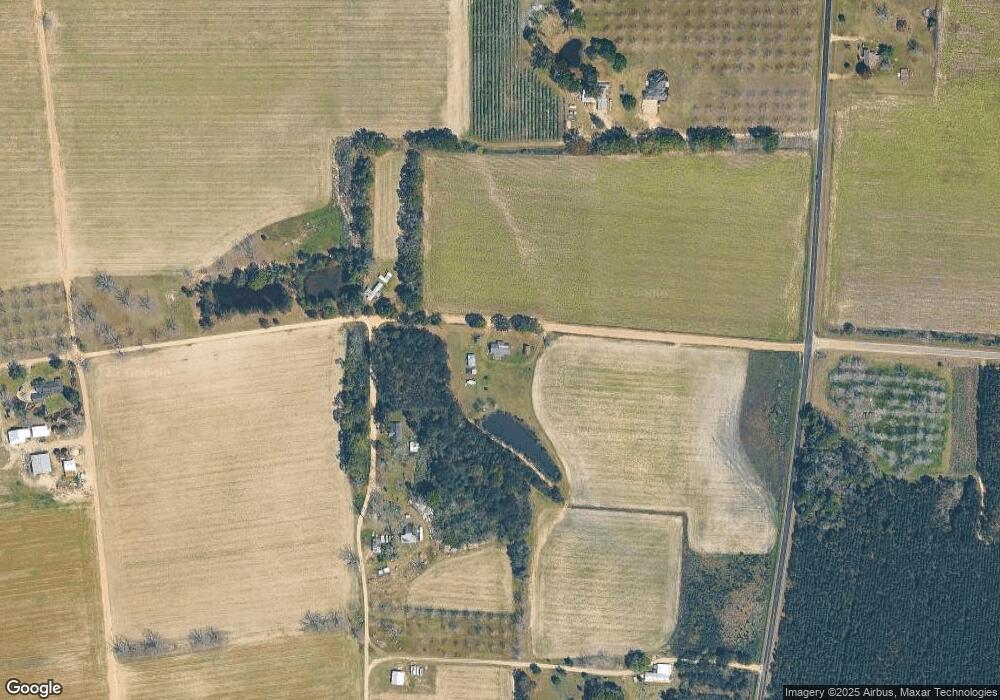
Map
Nearby Homes
- 6005 Chancey Rd
- 59 Enoch Moody Rd
- 2115 Mill Creek Rd
- 2114 Mill Creek Rd
- 0 Ward Boyette Rd
- 4866 Kville Rd
- 0 Crump Rd
- 362 Crosby Ln
- 0 Metts-Overstreet Rd
- 2460 Thornton Rd
- 0 Ga Hwy 32
- 0 Kville Rd Unit 10596074
- 0 Kville Rd
- 540 Freddy Rd
- 301 Whitaker Dr
- 406 Cw Collins St
- 2203 N Hwy 121 Hwy
- 109 Joyner St
- 0 S Forks Rd
- 391 S Forks Rd
- 75 A B Smith Rd
- 75 Ab Smith Rd
- 323 Ab Smith Rd
- 5480 Stanfield Rd
- 3688 Mikell Lake Rd
- 267 A B Smith Rd
- 267 Ab Smith Rd
- 3665 Mikell Lake Rd
- 4979 Stanfield Rd
- 75 Rollie Deal Rd
- 4120 Long Branch Rd
- 4922 Stanfield Rd
- 3975 Long Branch Rd
- 215 Poor Man Rd
- 1638 Mikell Lake Rd
- 120 Swamp Creek Rd
- 1499 Michael Lake Rd
- 3211 Mikell Lake Rd
- 3564 Long Branch Rd
- 3638 Long Branch Rd