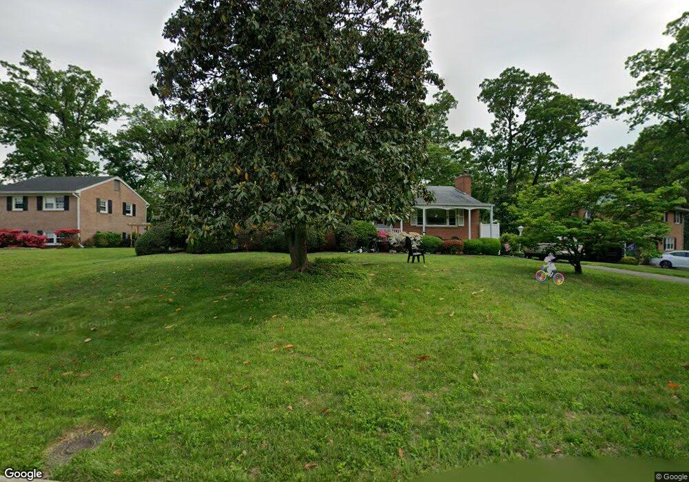
5409 Brookland Rd Alexandria, VA 22310
Rose Hill NeighborhoodEstimated Value: $731,768 - $809,000
4
Beds
3
Baths
1,560
Sq Ft
$502/Sq Ft
Est. Value
About This Home
This home is located at 5409 Brookland Rd, Alexandria, VA 22310 and is currently estimated at $782,942, approximately $501 per square foot. 5409 Brookland Rd is a home located in Fairfax County with nearby schools including Bush Hill Elementary School, Twain Middle School, and Edison High School.
Ownership History
Date
Name
Owned For
Owner Type
Purchase Details
Closed on
Apr 29, 2010
Sold by
Corso Martin E
Bought by
Mcfadden Nancy A and Townsend Christopher
Current Estimated Value
Home Financials for this Owner
Home Financials are based on the most recent Mortgage that was taken out on this home.
Original Mortgage
$335,000
Outstanding Balance
$224,317
Interest Rate
5.03%
Mortgage Type
New Conventional
Estimated Equity
$558,625
Create a Home Valuation Report for This Property
The Home Valuation Report is an in-depth analysis detailing your home's value as well as a comparison with similar homes in the area
Home Values in the Area
Average Home Value in this Area
Purchase History
| Date | Buyer | Sale Price | Title Company |
|---|---|---|---|
| Mcfadden Nancy A | $435,000 | -- |
Source: Public Records
Mortgage History
| Date | Status | Borrower | Loan Amount |
|---|---|---|---|
| Open | Mcfadden Nancy A | $335,000 |
Source: Public Records
Tax History Compared to Growth
Tax History
| Year | Tax Paid | Tax Assessment Tax Assessment Total Assessment is a certain percentage of the fair market value that is determined by local assessors to be the total taxable value of land and additions on the property. | Land | Improvement |
|---|---|---|---|---|
| 2025 | $7,891 | $692,630 | $357,000 | $335,630 |
| 2024 | $7,891 | $623,010 | $323,000 | $300,010 |
| 2023 | $7,595 | $623,010 | $323,000 | $300,010 |
| 2022 | $7,900 | $642,550 | $302,000 | $340,550 |
| 2021 | $7,281 | $580,430 | $268,000 | $312,430 |
| 2020 | $7,048 | $558,620 | $246,000 | $312,620 |
| 2019 | $6,871 | $542,510 | $239,000 | $303,510 |
| 2018 | $5,912 | $514,060 | $225,000 | $289,060 |
| 2017 | $6,267 | $504,390 | $221,000 | $283,390 |
| 2016 | $6,264 | $504,390 | $221,000 | $283,390 |
| 2015 | $6,050 | $504,390 | $221,000 | $283,390 |
| 2014 | $5,670 | $471,850 | $207,000 | $264,850 |
Source: Public Records
Map
Nearby Homes
- 5405 Brookland Rd
- 5206 Ninian Ave
- 5413 Waycross Dr
- 5924 Jane Way
- 5822 Brookview Dr
- 5004 Larno Dr
- 6010 Brookland Rd
- 5886 Woodfield Estates Dr
- 5812 Piedmont Dr
- 5814 Larpin Ln
- 5910 Woodfield Estates Dr
- 6117 Rose Hill Dr
- 6020 Craft Rd
- 6109 Leewood Dr
- 6121 Squire Ln
- 6339 Dunman Way
- 6028 Crown Royal Cir
- 5963 Founders Hill Dr Unit 101
- 4702 Eaton Place
- 5554 Jowett Ct
- 5407 Brookland Rd
- 5415 Brookland Rd
- 5911 Poyntz Place
- 5408 Brookland Rd
- 5404 Brookland Rd
- 5412 Brookland Rd
- 5416 Brookland Rd
- 5930 Westridge Ct
- 5928 Westridge Ct
- 5918 Westridge Ct
- 5421 Brookland Rd
- 5912 Poyntz Place
- 5914 Poyntz Place
- 5420 Brookland Rd
- 5400 Brookland Rd
- 5924 Westridge Ct
- 5906 Westchester St
- 5904 Westchester St
- 5932 Westridge Ct
- 5917 Westridge Ct