5409 Safe Harbour Way Unit 29 Virginia Beach, VA 23462
Bayside NeighborhoodEstimated Value: $362,690 - $385,000
3
Beds
3
Baths
1,686
Sq Ft
$222/Sq Ft
Est. Value
About This Home
This home is located at 5409 Safe Harbour Way Unit 29, Virginia Beach, VA 23462 and is currently estimated at $373,923, approximately $221 per square foot. 5409 Safe Harbour Way Unit 29 is a home located in Virginia Beach City with nearby schools including Bettie F. Williams Elementary, Newtown Elementary School, and Diamond Springs Elementary School.
Ownership History
Date
Name
Owned For
Owner Type
Purchase Details
Closed on
Jun 28, 2021
Sold by
Dejesus Neftali and Dejesus Johanna
Bought by
Mcduffie David L and Kearns Angel Marie
Current Estimated Value
Home Financials for this Owner
Home Financials are based on the most recent Mortgage that was taken out on this home.
Original Mortgage
$216,000
Outstanding Balance
$195,561
Interest Rate
2.9%
Mortgage Type
New Conventional
Estimated Equity
$178,362
Purchase Details
Closed on
Jan 15, 2016
Sold by
Bribra Baker Inc Avirginia Corporation
Bought by
Dejesus Neftali and Dejesus Johanna
Home Financials for this Owner
Home Financials are based on the most recent Mortgage that was taken out on this home.
Original Mortgage
$218,328
Interest Rate
4.4%
Mortgage Type
FHA
Create a Home Valuation Report for This Property
The Home Valuation Report is an in-depth analysis detailing your home's value as well as a comparison with similar homes in the area
Home Values in the Area
Average Home Value in this Area
Purchase History
| Date | Buyer | Sale Price | Title Company |
|---|---|---|---|
| Mcduffie David L | $270,000 | Accommodation | |
| Dejesus Neftali | -- | Attorney |
Source: Public Records
Mortgage History
| Date | Status | Borrower | Loan Amount |
|---|---|---|---|
| Open | Mcduffie David L | $216,000 | |
| Previous Owner | Dejesus Neftali | $218,328 |
Source: Public Records
Tax History Compared to Growth
Tax History
| Year | Tax Paid | Tax Assessment Tax Assessment Total Assessment is a certain percentage of the fair market value that is determined by local assessors to be the total taxable value of land and additions on the property. | Land | Improvement |
|---|---|---|---|---|
| 2025 | $3,279 | $348,000 | $105,000 | $243,000 |
| 2024 | $3,279 | $338,000 | $100,000 | $238,000 |
| 2023 | $3,346 | $338,000 | $100,000 | $238,000 |
| 2022 | $2,860 | $288,900 | $100,000 | $188,900 |
| 2021 | $2,533 | $255,900 | $80,000 | $175,900 |
| 2020 | $2,460 | $241,800 | $80,000 | $161,800 |
| 2019 | $2,532 | $241,200 | $80,000 | $161,200 |
| 2018 | $2,418 | $241,200 | $80,000 | $161,200 |
| 2017 | $2,373 | $236,700 | $80,000 | $156,700 |
| 2016 | $2,274 | $229,700 | $77,600 | $152,100 |
| 2015 | $2,043 | $245,200 | $90,000 | $155,200 |
Source: Public Records
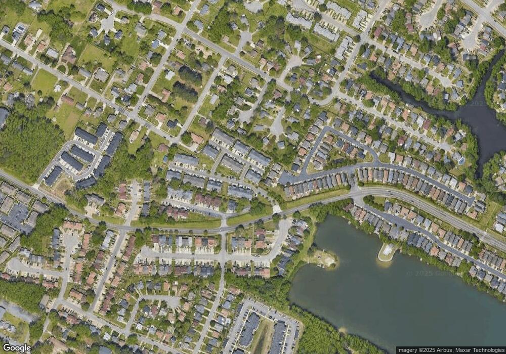
Map
Nearby Homes
- 716 Aylesbury Dr Unit X1705
- 5528 Maple Cluster Ct
- 661 Aubrey Dr
- 644 Lawrence Dr
- 668 Revival Ln
- 492 Baker Rd
- 661 Revival Ln
- 655 Crows Nest Ct
- 708 Brock Ct
- 622 Crows Nest Ct
- 610 Pylon Ct
- 512 Treble Ct
- 501 Peak Ct
- 506 Pillar Ct Unit 201
- 5348 Garnett Pointe Ct
- 515 Wharf Ct
- 513 Wharf Ct
- 507 Wharf Ct
- 5476 Kiawah Ct
- 5600 Landfall Dr Unit 102
- 5409 Safe Harbour Way
- 5405 Safe Harbour Way Unit 28
- 5405 Safe Harbour Way
- 5413 Safe Harbour Way Unit 5413
- 5401 Safe Harbour Way Unit 5401
- 5401 Safe Harbour Way
- 5425 Safe Harbour Way
- 5408 Safe Harbour Way
- 5557 Port Royal Dr
- 5412 Safe Harbour Way Unit 53
- 5412 Safe Harbour Way
- 5404 Safe Harbour Way
- 5404 Safe Harbour Way Unit 55
- 5400 Safe Harbour Way
- 5400 Safe Harbour Way Unit 56
- 5416 Safe Harbour Way Unit 52
- 5416 Safe Harbour Way
- 5429 Legacy Way Unit 2
- 5429 Legacy Way
- 5420 Safe Harbour Way Unit 51