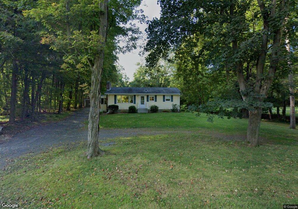
541 Bay Rd Amherst, MA 01002
Estimated Value: $353,000 - $424,000
2
Beds
1
Bath
1,066
Sq Ft
$364/Sq Ft
Est. Value
About This Home
This home is located at 541 Bay Rd, Amherst, MA 01002 and is currently estimated at $388,428, approximately $364 per square foot. 541 Bay Rd is a home located in Hampshire County with nearby schools including Crocker Farm Elementary School, Amherst Regional Middle School, and Amherst Regional High School.
Ownership History
Date
Name
Owned For
Owner Type
Purchase Details
Closed on
Sep 19, 2011
Sold by
Goodhind David R and Goodhind Lynn C
Bought by
Goodhind Ma Rt and Goodhind David R
Current Estimated Value
Purchase Details
Closed on
May 26, 2009
Sold by
Goodhind Ma Rt and Goodhind David R
Bought by
Goodhind David R and Goodhind Lynn C
Purchase Details
Closed on
Feb 25, 2005
Sold by
Goodhind David R
Bought by
Goodhind Ma Rt and Goodhind David R
Purchase Details
Closed on
Dec 22, 2003
Sold by
Goodhind Ma Rt and Goodhind David R
Bought by
Goodhind David R
Home Financials for this Owner
Home Financials are based on the most recent Mortgage that was taken out on this home.
Original Mortgage
$20,000
Interest Rate
5.96%
Mortgage Type
Purchase Money Mortgage
Purchase Details
Closed on
Mar 4, 2003
Sold by
Goodhind David R
Bought by
Goodhind Ma Rt and Goodhind David R
Purchase Details
Closed on
Jun 2, 2000
Sold by
Cowles Marjorie E
Bought by
Goodhind David R
Create a Home Valuation Report for This Property
The Home Valuation Report is an in-depth analysis detailing your home's value as well as a comparison with similar homes in the area
Home Values in the Area
Average Home Value in this Area
Purchase History
| Date | Buyer | Sale Price | Title Company |
|---|---|---|---|
| Goodhind Ma Rt | -- | -- | |
| Goodhind David R | -- | -- | |
| Goodhind Ma Rt | -- | -- | |
| Goodhind David R | -- | -- | |
| Goodhind Ma Rt | -- | -- | |
| Goodhind David R | $74,000 | -- |
Source: Public Records
Mortgage History
| Date | Status | Borrower | Loan Amount |
|---|---|---|---|
| Previous Owner | Goodhind David R | $50,000 | |
| Previous Owner | Goodhind David R | $20,000 |
Source: Public Records
Tax History Compared to Growth
Tax History
| Year | Tax Paid | Tax Assessment Tax Assessment Total Assessment is a certain percentage of the fair market value that is determined by local assessors to be the total taxable value of land and additions on the property. | Land | Improvement |
|---|---|---|---|---|
| 2025 | $57 | $319,200 | $164,500 | $154,700 |
| 2024 | $5,586 | $301,800 | $155,200 | $146,600 |
| 2023 | $5,379 | $267,600 | $141,000 | $126,600 |
| 2022 | $5,126 | $241,000 | $128,300 | $112,700 |
| 2021 | $4,872 | $223,300 | $118,800 | $104,500 |
| 2020 | $4,761 | $223,300 | $118,800 | $104,500 |
| 2019 | $4,667 | $214,100 | $118,800 | $95,300 |
| 2018 | $4,526 | $214,100 | $118,800 | $95,300 |
| 2017 | $4,508 | $206,500 | $113,100 | $93,400 |
| 2016 | $4,382 | $206,500 | $113,100 | $93,400 |
| 2015 | $4,242 | $206,500 | $113,100 | $93,400 |
Source: Public Records
Map
Nearby Homes
- 1730 S East St
- 365 Middle St
- 13 Vista Terrace
- 324 Pomeroy Ln
- 19 Baldwin Ln
- 19 Mcintosh Dr
- 551 West St
- 500 West St Unit 6
- 967 S East St
- 20 Station Rd
- 66 Longmeadow Dr
- 6 Evening Star Dr
- 178 W Pomeroy Ln
- 167 Warren Wright Rd
- 68 Harris St
- 40 Farmington Rd
- 148 Wildflower Dr
- 130 Linden Ridge Rd
- 170 E Hadley Rd Unit 123
- 170 E Hadley Rd Unit 46