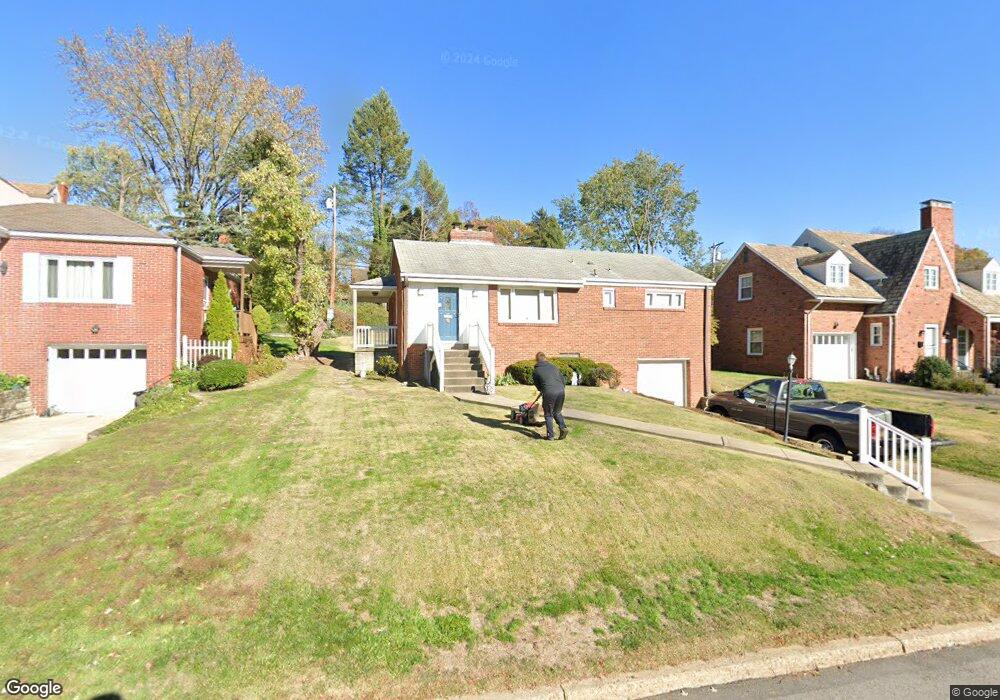
541 Kelso Rd Pittsburgh, PA 15243
Estimated Value: $266,000 - $304,000
2
Beds
2
Baths
1,040
Sq Ft
$271/Sq Ft
Est. Value
About This Home
This home is located at 541 Kelso Rd, Pittsburgh, PA 15243 and is currently estimated at $281,363, approximately $270 per square foot. 541 Kelso Rd is a home located in Allegheny County with nearby schools including Hoover Elementary School, Jefferson Middle School, and Mt Lebanon Senior High School.
Ownership History
Date
Name
Owned For
Owner Type
Purchase Details
Closed on
May 22, 2007
Sold by
Grimes Robert G
Bought by
Dix Teresa Ann
Current Estimated Value
Purchase Details
Closed on
Apr 22, 2004
Sold by
Dalton Scott
Bought by
Grimes Robert
Home Financials for this Owner
Home Financials are based on the most recent Mortgage that was taken out on this home.
Original Mortgage
$96,000
Interest Rate
5.4%
Mortgage Type
New Conventional
Purchase Details
Closed on
Nov 20, 2000
Sold by
Moran Nicholas B and Weaver Jean M
Bought by
Dalton Scott J and Dalton Amy N
Purchase Details
Closed on
May 13, 1998
Sold by
Baker Rose Marie
Bought by
Moran Nicholas B and Weaver Jean M
Create a Home Valuation Report for This Property
The Home Valuation Report is an in-depth analysis detailing your home's value as well as a comparison with similar homes in the area
Home Values in the Area
Average Home Value in this Area
Purchase History
| Date | Buyer | Sale Price | Title Company |
|---|---|---|---|
| Dix Teresa Ann | $128,000 | -- | |
| Grimes Robert | $120,000 | -- | |
| Dalton Scott J | $89,540 | -- | |
| Moran Nicholas B | $83,500 | -- |
Source: Public Records
Mortgage History
| Date | Status | Borrower | Loan Amount |
|---|---|---|---|
| Previous Owner | Grimes Robert | $96,000 |
Source: Public Records
Tax History Compared to Growth
Tax History
| Year | Tax Paid | Tax Assessment Tax Assessment Total Assessment is a certain percentage of the fair market value that is determined by local assessors to be the total taxable value of land and additions on the property. | Land | Improvement |
|---|---|---|---|---|
| 2025 | $4,301 | $116,800 | $70,300 | $46,500 |
| 2024 | $4,208 | $116,800 | $70,300 | $46,500 |
| 2023 | $4,208 | $116,800 | $70,300 | $46,500 |
| 2022 | $4,115 | $116,800 | $70,300 | $46,500 |
| 2021 | $4,441 | $116,800 | $70,300 | $46,500 |
| 2020 | $3,998 | $116,800 | $70,300 | $46,500 |
| 2019 | $3,943 | $116,800 | $70,300 | $46,500 |
| 2018 | $552 | $116,800 | $70,300 | $46,500 |
| 2017 | $3,898 | $116,800 | $70,300 | $46,500 |
| 2016 | $552 | $116,800 | $70,300 | $46,500 |
| 2015 | $552 | $116,800 | $70,300 | $46,500 |
| 2014 | $3,783 | $116,800 | $70,300 | $46,500 |
Source: Public Records
Map
Nearby Homes
- 1512 Worcester Dr
- 623 Kelso Rd
- 1612 Worcester Dr
- 600 Pat Haven Dr
- 1304 Bower Hill Rd
- 1299 Sylvandell Dr
- 1923 Berkwood Dr
- 1223 Driftwood Dr
- 809 Bethany Dr
- 50 Robb Hollow Rd
- 1241 Arrowood Dr
- 1171 Arrowood Dr
- 1229 Pinewood Dr
- 855 Lochlin Dr
- 1960 Worcester Dr
- 1963 Worcester Dr
- 840 Robb Hollow Rd
- Lot Firwood Dr
- 1808 Sillview Dr
- 2075 Borland Rd