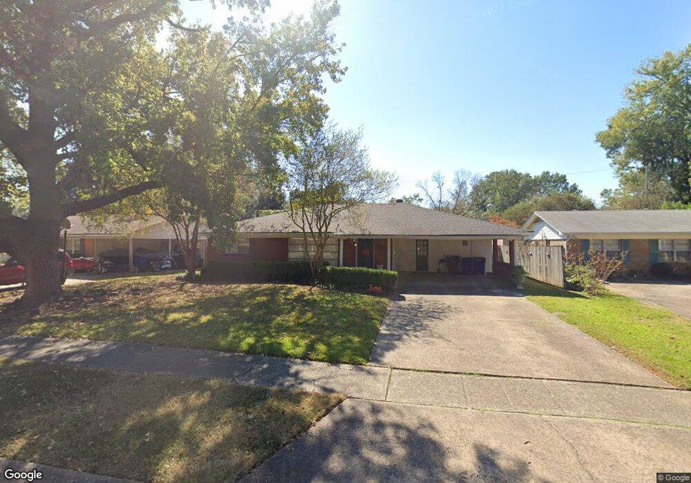
541 Mockingbird Ln Shreveport, LA 71105
East Shreveport NeighborhoodEstimated Value: $212,000 - $244,000
3
Beds
2
Baths
2,329
Sq Ft
$99/Sq Ft
Est. Value
About This Home
This home is located at 541 Mockingbird Ln, Shreveport, LA 71105 and is currently estimated at $229,505, approximately $98 per square foot. 541 Mockingbird Ln is a home located in Caddo Parish with nearby schools including Fairfield Magnet School, Judson Fundamental Elementary School, and Eden Gardens Fundamental Elementary School.
Ownership History
Date
Name
Owned For
Owner Type
Purchase Details
Closed on
Jul 18, 2006
Sold by
Wilkinson David Charles and Wilkinson Jennifer Louise Malhotra
Bought by
Stone Thomas Dwight and Dowd Jennifer Michelle
Current Estimated Value
Home Financials for this Owner
Home Financials are based on the most recent Mortgage that was taken out on this home.
Original Mortgage
$169,500
Outstanding Balance
$100,350
Interest Rate
6.6%
Mortgage Type
Unknown
Estimated Equity
$129,155
Create a Home Valuation Report for This Property
The Home Valuation Report is an in-depth analysis detailing your home's value as well as a comparison with similar homes in the area
Home Values in the Area
Average Home Value in this Area
Purchase History
| Date | Buyer | Sale Price | Title Company |
|---|---|---|---|
| Stone Thomas Dwight | $169,500 | Pierremont Title |
Source: Public Records
Mortgage History
| Date | Status | Borrower | Loan Amount |
|---|---|---|---|
| Open | Stone Thomas Dwight | $169,500 |
Source: Public Records
Tax History Compared to Growth
Tax History
| Year | Tax Paid | Tax Assessment Tax Assessment Total Assessment is a certain percentage of the fair market value that is determined by local assessors to be the total taxable value of land and additions on the property. | Land | Improvement |
|---|---|---|---|---|
| 2024 | $2,436 | $15,627 | $3,111 | $12,516 |
| 2023 | $2,274 | $14,270 | $2,963 | $11,307 |
| 2022 | $2,274 | $14,270 | $2,963 | $11,307 |
| 2021 | $2,240 | $14,270 | $2,963 | $11,307 |
| 2020 | $2,240 | $14,270 | $2,963 | $11,307 |
| 2019 | $2,337 | $14,448 | $2,963 | $11,485 |
| 2018 | $930 | $14,448 | $2,963 | $11,485 |
| 2017 | $2,374 | $14,448 | $2,963 | $11,485 |
| 2015 | $897 | $13,850 | $2,960 | $10,890 |
| 2014 | $1,319 | $13,850 | $2,960 | $10,890 |
| 2013 | -- | $13,850 | $2,960 | $10,890 |
Source: Public Records
Map
Nearby Homes
- 502 Mockingbird Ln
- 522 Oriole Ln
- 2045 Horton Ave
- 410 Haynes Ave
- 5108 Dixie Garden Dr
- 2043 Shadywood Ln
- 5702 River Rd
- 5101 Dixie Garden Dr
- 306 Oriole Ln
- 2049 River Rd
- 5822 River Rd
- 334 Wayne Dr
- 1923 Bermuda St
- 636 Pelican Place
- 1919 Audubon Place
- 502 Americana Dr
- 2013 E Kings Hwy
- 6013 River Rd
- 2005 E Kings Hwy
- 102 Justin Ave
- 545 Mockingbird Ln
- 537 Mockingbird Ln
- 538 Meadowbrook Ln
- 533 Mockingbird Ln
- 534 Meadowbrook Ln
- 542 Mockingbird Ln
- 546 Mockingbird Ln
- 529 Mockingbird Ln
- 538 Mockingbird Ln
- 552 Mockingbird Ln
- 530 Meadowbrook Ln
- 546 Meadowbrook Ln
- 534 Mockingbird Ln
- 525 Mockingbird Ln
- 554 Mockingbird Ln
- 554 Mockingbird Ln
- 526 Meadowbrook Ln
- 530 Mockingbird Ln
- 5722 Lovers Ln
- 5722 Lovers Ln