541 Porter Pond Rd Moosup, CT 06354
Estimated Value: $351,000 - $368,000
3
Beds
3
Baths
1,214
Sq Ft
$295/Sq Ft
Est. Value
About This Home
This home is located at 541 Porter Pond Rd, Moosup, CT 06354 and is currently estimated at $358,245, approximately $295 per square foot. 541 Porter Pond Rd is a home with nearby schools including Sterling Community School.
Ownership History
Date
Name
Owned For
Owner Type
Purchase Details
Closed on
Sep 22, 1993
Sold by
Thurlow Luther E
Bought by
Irizarry Victor and Irizary Gwynnith
Current Estimated Value
Home Financials for this Owner
Home Financials are based on the most recent Mortgage that was taken out on this home.
Original Mortgage
$105,300
Interest Rate
7.1%
Mortgage Type
Purchase Money Mortgage
Create a Home Valuation Report for This Property
The Home Valuation Report is an in-depth analysis detailing your home's value as well as a comparison with similar homes in the area
Home Values in the Area
Average Home Value in this Area
Purchase History
| Date | Buyer | Sale Price | Title Company |
|---|---|---|---|
| Irizarry Victor | $104,000 | -- | |
| Irizarry Victor | $104,000 | -- |
Source: Public Records
Mortgage History
| Date | Status | Borrower | Loan Amount |
|---|---|---|---|
| Open | Irizarry Victor | $96,400 | |
| Closed | Irizarry Victor | $105,300 |
Source: Public Records
Tax History Compared to Growth
Tax History
| Year | Tax Paid | Tax Assessment Tax Assessment Total Assessment is a certain percentage of the fair market value that is determined by local assessors to be the total taxable value of land and additions on the property. | Land | Improvement |
|---|---|---|---|---|
| 2025 | $3,692 | $167,800 | $40,500 | $127,300 |
| 2024 | $3,968 | $167,800 | $40,500 | $127,300 |
| 2023 | $3,729 | $167,800 | $40,500 | $127,300 |
| 2022 | $3,203 | $100,270 | $17,670 | $82,600 |
| 2021 | $3,203 | $100,270 | $17,670 | $82,600 |
| 2020 | $3,203 | $100,270 | $17,670 | $82,600 |
| 2019 | $3,203 | $100,270 | $17,670 | $82,600 |
| 2018 | $3,189 | $100,270 | $17,670 | $82,600 |
| 2017 | $3,080 | $96,840 | $23,970 | $72,870 |
| 2016 | $3,060 | $96,840 | $23,970 | $72,870 |
| 2015 | $3,060 | $96,840 | $23,970 | $72,870 |
| 2014 | $3,050 | $96,840 | $23,970 | $72,870 |
Source: Public Records
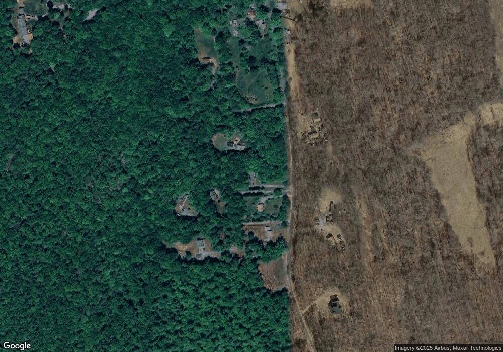
Map
Nearby Homes
- 711 Ekonk Hill Rd
- 112 Bailey Pond Rd
- 18 Ledge Hill Rd
- 38 Deerfield Dr
- 81 Deerfield Dr
- 71 Deerfield Dr
- 197 Church St
- 131 Church St
- 887 Sterling Rd
- 261 Spaulding Rd
- 1 Johns Cir
- 5 John's Cir Unit Lot 35
- 1 John's Cir Unit Lot 37
- 8 John's Cir Unit Lot 33
- 4 Johns Cir Unit Lot 31
- 7 Johns Cir Unit Lot 34
- 2 Johns Cir Unit Lot 30
- 532 Lewis Farm Rd
- 13 Beechwood Blvd
- 35 River Rd
- 543 Porter Pond Rd
- 547 Porter Pond Rd
- 537 Porter Pond Rd
- 530 Porter Pond Rd
- 559 Porter Pond Rd
- 554 Porter Pond Rd
- 483 Porter Pond Rd
- 523 Porter Pond Rd
- 505 Porter Pond Rd
- 576 Porter Pond Rd
- 498 Porter Pond Rd
- 482 Porter Pond Rd
- 531 Porter Pond Rd
- 492 Pine Hill Rd
- 467 Porter Pond Rd
- 501 Pine Hill Rd
- 15 W Old Greenwich Rd
- 436 Porter Pond Rd
- 15 Old Greenwich Rd
- 6 Old Greenwich Rd