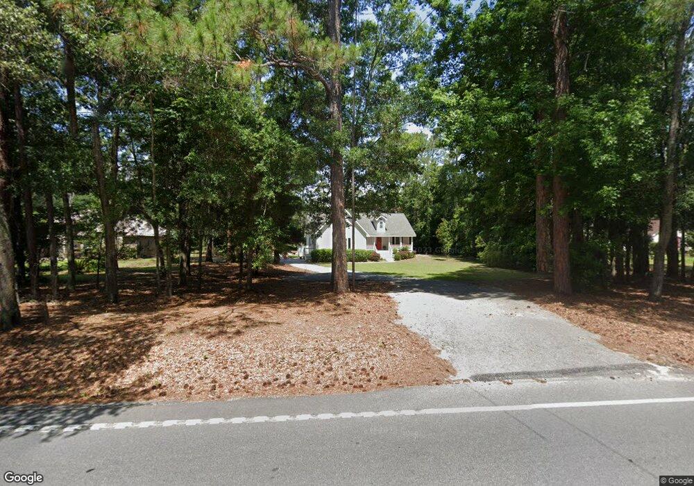
541 Sams Point Rd Beaufort, SC 29907
Estimated Value: $441,000 - $563,000
1
Bed
2
Baths
1,768
Sq Ft
$283/Sq Ft
Est. Value
About This Home
This home is located at 541 Sams Point Rd, Beaufort, SC 29907 and is currently estimated at $500,247, approximately $282 per square foot. 541 Sams Point Rd is a home located in Beaufort County with nearby schools including Coosa Elementary School, Lady's Island Middle School, and Beaufort High School.
Ownership History
Date
Name
Owned For
Owner Type
Purchase Details
Closed on
May 3, 2005
Sold by
Holcombe Graham
Bought by
Cave Vallerie
Current Estimated Value
Home Financials for this Owner
Home Financials are based on the most recent Mortgage that was taken out on this home.
Original Mortgage
$191,900
Outstanding Balance
$105,836
Interest Rate
6.75%
Mortgage Type
Fannie Mae Freddie Mac
Estimated Equity
$394,411
Create a Home Valuation Report for This Property
The Home Valuation Report is an in-depth analysis detailing your home's value as well as a comparison with similar homes in the area
Purchase History
| Date | Buyer | Sale Price | Title Company |
|---|---|---|---|
| Cave Vallerie | $239,900 | -- |
Source: Public Records
Mortgage History
| Date | Status | Borrower | Loan Amount |
|---|---|---|---|
| Open | Cave Vallerie | $191,900 | |
| Closed | Cave Vallerie | $47,950 |
Source: Public Records
Tax History
| Year | Tax Paid | Tax Assessment Tax Assessment Total Assessment is a certain percentage of the fair market value that is determined by local assessors to be the total taxable value of land and additions on the property. | Land | Improvement |
|---|---|---|---|---|
| 2024 | $1,798 | $19,468 | $2,712 | $16,756 |
| 2023 | $1,798 | $19,468 | $2,712 | $16,756 |
| 2022 | $1,686 | $15,532 | $2,024 | $13,508 |
| 2021 | $1,637 | $15,532 | $2,024 | $13,508 |
| 2020 | $1,620 | $15,532 | $2,024 | $13,508 |
| 2019 | $1,583 | $15,532 | $2,024 | $13,508 |
| 2018 | $1,535 | $10,660 | $0 | $0 |
| 2017 | $1,352 | $9,270 | $0 | $0 |
| 2016 | $1,321 | $9,270 | $0 | $0 |
| 2014 | $922 | $9,270 | $0 | $0 |
Source: Public Records
Map
Nearby Homes
- 5 Cedar Point Dr
- 30 Wade Hampton Dr
- 575 Sams Point Rd
- 579 Sams Point Rd
- 501 Sams Point Rd
- 581 Sams Point Rd
- 22 Wade Hampton Dr
- 14 Spring Knob Cir
- 88 Thomas Sumter St
- 6 Spring Knob Cir
- 77 Wade Hampton Dr
- 11 Egret Dr
- 6 Shade Tree Ln
- 15 Woods Ln
- 13 Woods Ln
- 7 Woods Ln
- 106 Gator Ln
- 1 Reid Ct
- 9 Attaway Ln
- 7 Saint James Cir
- 535 Sams Point Rd
- 545 Sams Point Rd
- 531 Sams Point Rd
- 551 Sams Point Rd
- 40 Wade Hampton Dr
- 42 Wade Hampton Dr
- 38 Wade Hampton Dr
- 44 Wade Hampton Dr
- 555 Sams Point Rd
- 552 Sams Point Rd
- 46 Wade Hampton Dr
- 36 Wade Hampton Dr
- 556 Sams Point Rd
- 48 Wade Hampton Dr
- 34 Wade Hampton Dr
- 521 Sams Point Rd
- 554 Sams Point Rd
- 50 Wade Hampton Dr
- 561 Sams Point Rd
- 546 Sams Point Rd
Your Personal Tour Guide
Ask me questions while you tour the home.