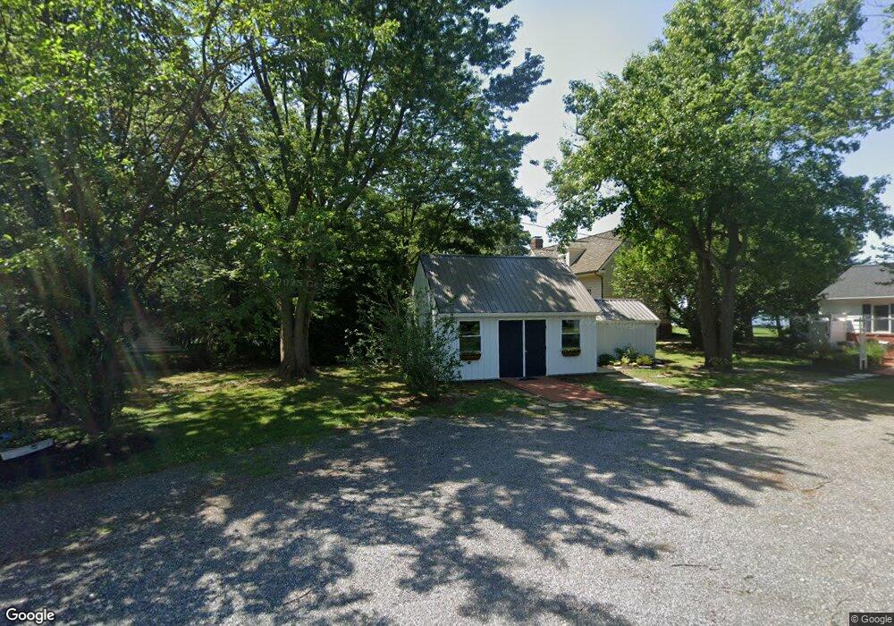
5413 Newt Downey Rd Rock Hall, MD 21661
Estimated Value: $918,000 - $1,746,524
--
Bed
3
Baths
3,678
Sq Ft
$362/Sq Ft
Est. Value
About This Home
This home is located at 5413 Newt Downey Rd, Rock Hall, MD 21661 and is currently estimated at $1,332,262, approximately $362 per square foot. 5413 Newt Downey Rd is a home located in Kent County with nearby schools including Center for Innovation, Kent County Middle School, and Kent County High School.
Ownership History
Date
Name
Owned For
Owner Type
Purchase Details
Closed on
Jul 25, 2017
Sold by
Stetson Robert K and Stetson Suzanne J
Bought by
Kams Investments Llc
Current Estimated Value
Purchase Details
Closed on
Mar 5, 1990
Sold by
Morlock Richard W and Morlock Dorothy M
Bought by
Stetson Robert K and Stetson Suzanne
Home Financials for this Owner
Home Financials are based on the most recent Mortgage that was taken out on this home.
Original Mortgage
$144,000
Interest Rate
10.23%
Create a Home Valuation Report for This Property
The Home Valuation Report is an in-depth analysis detailing your home's value as well as a comparison with similar homes in the area
Home Values in the Area
Average Home Value in this Area
Purchase History
| Date | Buyer | Sale Price | Title Company |
|---|---|---|---|
| Kams Investments Llc | -- | None Available | |
| Stetson Robert K | $175,500 | -- |
Source: Public Records
Mortgage History
| Date | Status | Borrower | Loan Amount |
|---|---|---|---|
| Previous Owner | Stetson Robert K | $144,000 |
Source: Public Records
Tax History Compared to Growth
Tax History
| Year | Tax Paid | Tax Assessment Tax Assessment Total Assessment is a certain percentage of the fair market value that is determined by local assessors to be the total taxable value of land and additions on the property. | Land | Improvement |
|---|---|---|---|---|
| 2025 | $12,550 | $1,106,667 | $0 | $0 |
| 2024 | $11,647 | $1,027,100 | $521,100 | $506,000 |
| 2023 | $11,599 | $1,022,867 | $0 | $0 |
| 2022 | $11,449 | $1,018,633 | $0 | $0 |
| 2021 | $11,501 | $1,014,400 | $521,100 | $493,300 |
| 2020 | $11,501 | $1,014,167 | $0 | $0 |
| 2019 | $11,498 | $1,013,933 | $0 | $0 |
| 2018 | $11,495 | $1,013,700 | $521,100 | $492,600 |
| 2017 | $11,495 | $1,013,700 | $0 | $0 |
| 2016 | -- | $1,013,700 | $0 | $0 |
| 2015 | $12,786 | $1,041,500 | $0 | $0 |
| 2014 | $12,786 | $1,041,500 | $0 | $0 |
Source: Public Records
Map
Nearby Homes
- 21090 W Sharp St Unit 133
- 21090 W Sharp St Unit 112
- 21163 Chesapeake Ave
- 0 Allens Ln Unit MDKE2005580
- 5697 Walnut St
- 21119 Striper Run
- 21131 Striper Run
- 21133 Striper Run
- 5791 S Hawthorne Ave
- 21139 Striper Run
- 21141 Striper Run
- 5686 S Main St
- 5750 Walnut St
- 21332 E Sharp St
- 0 Judefind Ave Unit MDKE2001688
- 21424 Catholic Ave
- 0 Sharp St Unit MDKE2005760
- 4938 Huntingfield Rd
- 5829 N Main St
- 21745 Centennial Ln
- 5410 Newt Downey Rd
- 5420 Newt Downey Rd
- 0 Jetty View Dr Unit MDKE117902
- 5450 Newt Downey Rd
- 5376 Eastern Neck Rd
- 5440 Newt Downey Rd
- 5372 Eastern Neck Rd
- 5456 Newt Downey Rd
- 21139 Green Ln
- 5465 Newt Downey Rd
- 21126 Green Ln
- 21090 Green Ln
- 21100 Green Ln
- 21165 Green Ln
- 21118 Green Ln
- 21120 Green Ln
- 21084 Green Ln
- 21152 Green Ln
- 21170 Green Ln
- 0 Green Ln