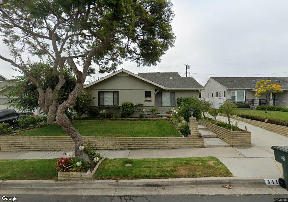
5414 Arvada St Torrance, CA 90503
West Torrance NeighborhoodEstimated Value: $1,528,000 - $1,759,000
4
Beds
3
Baths
2,049
Sq Ft
$791/Sq Ft
Est. Value
About This Home
This home is located at 5414 Arvada St, Torrance, CA 90503 and is currently estimated at $1,620,879, approximately $791 per square foot. 5414 Arvada St is a home located in Los Angeles County with nearby schools including Towers Elementary School, Bert M. Lynn Middle School, and West High School.
Ownership History
Date
Name
Owned For
Owner Type
Purchase Details
Closed on
Aug 14, 2020
Sold by
Hollis Andrew Jackson and Hollis Mary Ann
Bought by
Hollis Andrew Jackson and Hollis Mary Ann
Current Estimated Value
Home Financials for this Owner
Home Financials are based on the most recent Mortgage that was taken out on this home.
Original Mortgage
$400,000
Interest Rate
2.9%
Mortgage Type
New Conventional
Purchase Details
Closed on
Sep 13, 2005
Sold by
Hollis Andrew J and Hollis Mary Ann
Bought by
Hollis Andrew Jackson
Create a Home Valuation Report for This Property
The Home Valuation Report is an in-depth analysis detailing your home's value as well as a comparison with similar homes in the area
Home Values in the Area
Average Home Value in this Area
Purchase History
| Date | Buyer | Sale Price | Title Company |
|---|---|---|---|
| Hollis Andrew Jackson | -- | First Amer Ttl Co Glendale | |
| Hollis Andrew Jackson | -- | First Amer Ttl Co Glendale | |
| Hollis Andrew Jackson | -- | -- |
Source: Public Records
Mortgage History
| Date | Status | Borrower | Loan Amount |
|---|---|---|---|
| Closed | Hollis Andrew Jackson | $400,000 |
Source: Public Records
Tax History Compared to Growth
Tax History
| Year | Tax Paid | Tax Assessment Tax Assessment Total Assessment is a certain percentage of the fair market value that is determined by local assessors to be the total taxable value of land and additions on the property. | Land | Improvement |
|---|---|---|---|---|
| 2025 | $3,017 | $243,507 | $123,116 | $120,391 |
| 2024 | $3,017 | $238,733 | $120,702 | $118,031 |
| 2023 | $2,966 | $234,053 | $118,336 | $115,717 |
| 2022 | $2,925 | $229,465 | $116,016 | $113,449 |
| 2021 | $2,860 | $224,967 | $113,742 | $111,225 |
| 2019 | $2,778 | $218,296 | $110,369 | $107,927 |
| 2018 | $2,660 | $214,016 | $108,205 | $105,811 |
| 2016 | $2,522 | $205,707 | $104,004 | $101,703 |
| 2015 | $2,467 | $202,618 | $102,442 | $100,176 |
| 2014 | $2,413 | $198,650 | $100,436 | $98,214 |
Source: Public Records
Map
Nearby Homes
- 2126 Havemeyer Ln
- 2345 W 190th St Unit 77
- 2345 190th St Unit 42
- 2345 190th St Unit 24
- 19219 Beckworth Ave
- 19509 Hinsdale Ave
- 1321 Beryl St Unit 101
- 5305 Wilma St
- 1314 Agate St
- 1915 Havemeyer Ln Unit A
- 907 Lilienthal Ln
- 2221 Pullman Ln Unit B
- 2600 Alvord Ln
- 1903 Morgan Ln Unit B
- 2420 Ives Ln Unit B
- 2420 Ives Ln Unit A
- 1734 Van Horne Ln
- 2400 Marshallfield Ln
- 2606 Ralston Ln
- 1112 Beryl St Unit 8