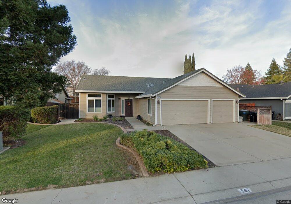
5417 Pearlstone Dr Antelope, CA 95843
Estimated Value: $379,000 - $512,000
3
Beds
2
Baths
1,408
Sq Ft
$336/Sq Ft
Est. Value
About This Home
This home is located at 5417 Pearlstone Dr, Antelope, CA 95843 and is currently estimated at $473,762, approximately $336 per square foot. 5417 Pearlstone Dr is a home located in Sacramento County with nearby schools including Olive Grove Elementary School, Antelope Crossing Middle School, and Antelope High School.
Ownership History
Date
Name
Owned For
Owner Type
Purchase Details
Closed on
Mar 6, 2018
Sold by
Lang Kathryn G
Bought by
Lang Kathryn G and Kathryn G Lang Trust
Current Estimated Value
Purchase Details
Closed on
Apr 12, 2002
Sold by
Mundy Daniel and Lott Mundy Jody
Bought by
Lang Kathryn G
Home Financials for this Owner
Home Financials are based on the most recent Mortgage that was taken out on this home.
Original Mortgage
$163,200
Outstanding Balance
$68,956
Interest Rate
7.08%
Estimated Equity
$404,806
Create a Home Valuation Report for This Property
The Home Valuation Report is an in-depth analysis detailing your home's value as well as a comparison with similar homes in the area
Home Values in the Area
Average Home Value in this Area
Purchase History
We collect this data history from publicly available records. To have your information removed, we recommend requesting removal directly through your county’s website.
| Date | Buyer | Sale Price | Title Company |
|---|---|---|---|
| Lang Kathryn G | -- | None Available | |
| Lang Kathryn G | $216,500 | Alliance Title Company |
Source: Public Records
Mortgage History
We collect this data history from publicly available records. To have your information removed, we recommend requesting removal directly through your county’s website.
| Date | Status | Borrower | Loan Amount |
|---|---|---|---|
| Open | Lang Kathryn G | $163,200 |
Source: Public Records
Tax History
| Year | Tax Paid | Tax Assessment Tax Assessment Total Assessment is a certain percentage of the fair market value that is determined by local assessors to be the total taxable value of land and additions on the property. | Land | Improvement |
|---|---|---|---|---|
| 2025 | $3,395 | $319,813 | $62,035 | $257,778 |
| 2024 | $3,395 | $313,543 | $60,819 | $252,724 |
| 2023 | $3,357 | $307,396 | $59,627 | $247,769 |
| 2022 | $3,361 | $301,369 | $58,458 | $242,911 |
| 2021 | $3,378 | $295,461 | $57,312 | $238,149 |
| 2020 | $3,352 | $292,433 | $56,725 | $235,708 |
| 2019 | $3,305 | $286,700 | $55,613 | $231,087 |
| 2018 | $3,187 | $281,079 | $54,523 | $226,556 |
| 2017 | $3,141 | $275,568 | $53,454 | $222,114 |
| 2016 | $3,060 | $270,165 | $52,406 | $217,759 |
| 2015 | $3,006 | $266,108 | $51,619 | $214,489 |
| 2014 | $2,957 | $260,896 | $50,608 | $210,288 |
Source: Public Records
Map
Nearby Homes
- 5433 Pearlstone Dr
- 9136 Palmerson Dr
- 5524 Elgin Hills Way
- 8232 Gold Sierra Ct
- 5622 Ridgepoint Dr
- 9765 Duckweed St
- 8409 Sundrop Way
- 9670 Canopy Tree St
- 8507 Crosspointe Ct
- 5821 Ridgepoint Dr
- 8500 Grey Iron Ct
- 8300 White Spruce Dr
- 5001 Meadow Pass Way
- 5755 Cerulean Hill Way
- 7908 Gazelle Trail Way
- 8005 Ivory Peak Way
- 8001 Ivory Peak Way
- 8218 Fountainarbor Way
- 8012 Ivory Peak Way
- 8008 Ivory Peak Way
- 5413 Pearlstone Dr
- 5419 Pearlstone Dr
- 5416 Oben Fell Ct
- 5409 Pearlstone Dr
- 5420 Oben Fell Ct
- 5425 Pearlstone Dr
- 5416 Pearlstone Dr
- 5408 Oben Fell Ct
- 5412 Pearlstone Dr
- 5454 Brycewood Way
- 5429 Pearlstone Dr
- 5405 Pearlstone Dr
- 5404 Oben Fell Ct
- 5408 Pearlstone Dr
- 5424 Oben Fell Ct
- 5450 Brycewood Way
- 5417 Snow Spring Place
- 8321 Cook Riolo Rd
- 5404 Pearlstone Dr
- 5413 Oben Fell Ct
Your Personal Tour Guide
Ask me questions while you tour the home.