5419 Sampson Rd Monroeville, IN 46773
Estimated Value: $320,000 - $471,955
About This Home
This home is located at 5419 Sampson Rd, Monroeville, IN 46773 and is currently estimated at $401,989, approximately $161 per square foot. 5419 Sampson Rd is a home located in Allen County with nearby schools including Heritage Junior/Senior High School.
Ownership History
We collect this data history from publicly available records. To have your information removed, we recommend requesting removal directly through your county’s website.
Purchase Details
Home Financials for this Owner
Home Financials are based on the most recent Mortgage that was taken out on this home.Purchase Details
Purchase History
We collect this data history from publicly available records. To have your information removed, we recommend requesting removal directly through your county’s website.
| Date | Buyer | Sale Price | Title Company |
|---|---|---|---|
| -- | Metroplitan Title Of Indiana | ||
| -- | Three Rivers Title Company I |
Mortgage History
We collect this data history from publicly available records. To have your information removed, we recommend requesting removal directly through your county’s website.
| Date | Status | Borrower | Loan Amount |
|---|---|---|---|
| Open | $247,000 |
Tax History
We collect this data history from publicly available records. To have your information removed, we recommend requesting removal directly through your county’s website.
| Year | Tax Paid | Tax Assessment Tax Assessment Total Assessment is a certain percentage of the fair market value that is determined by local assessors to be the total taxable value of land and additions on the property. | Land | Improvement |
|---|---|---|---|---|
| 2025 | $2,675 | $384,000 | $51,700 | $332,300 |
| 2024 | $1,895 | $275,400 | $51,700 | $223,700 |
| 2023 | $1,890 | $276,600 | $51,700 | $224,900 |
| 2022 | $1,945 | $272,900 | $51,700 | $221,200 |
| 2021 | $1,872 | $241,700 | $51,700 | $190,000 |
| 2020 | $1,865 | $240,000 | $51,700 | $188,300 |
| 2019 | $1,916 | $240,300 | $51,700 | $188,600 |
| 2018 | $1,961 | $235,400 | $51,700 | $183,700 |
| 2017 | $1,930 | $223,400 | $51,700 | $171,700 |
| 2016 | $1,904 | $220,700 | $51,700 | $169,000 |
| 2014 | $1,587 | $189,600 | $51,700 | $137,900 |
| 2013 | $1,644 | $190,200 | $53,000 | $137,200 |
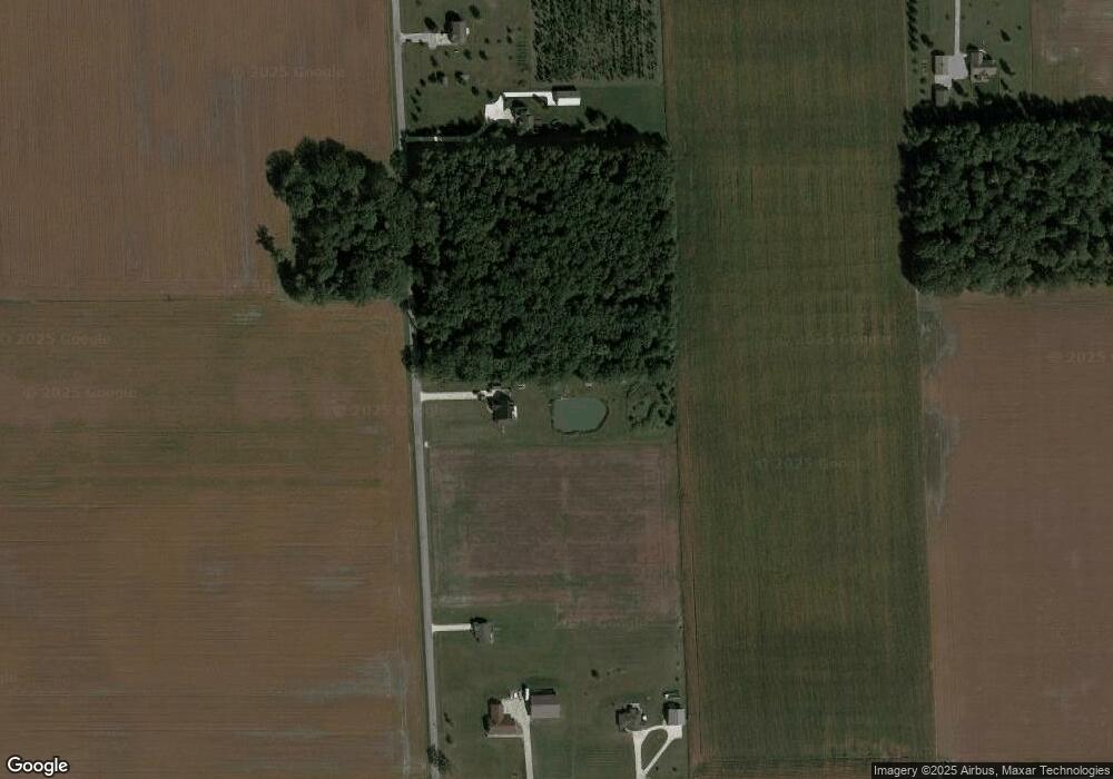
Map
- 19900 Dawkins Rd
- 13002 U S 30
- TBD Monroeville Rd
- 14512 Dawkins Rd
- 21000 Monroeville Rd
- 209 S Washington St
- 118 W Forest St
- 307 Monroe St
- 13335 Church St
- 5611 S Doyle Rd
- 22238 Travertine Run
- 4107 Fahlsing Rd
- 11919 Edgerton Rd
- 22602 Stenger St
- 22517 Stenger St
- 4121 Ort Dr
- 4233 Havenwood Ct
- 4216 Hickory Ridge Dr
- 22724 Maumee Meadows Dr Unit 38
- 5162 Meadowlark Ln
- 5215 Sampson Rd
- 19819 Paulding Rd
- 19919 Paulding Rd
- 5031 Sampson Rd
- 19936 Gromeaux Rd
- 19820 Gromeaux Rd
- 20216 Gromeaux Rd
- 19430 Gromeaux Rd
- 20419 Paulding Rd
- 20418 Paulding Rd
- 5330 Vanderly Rd
- 5307 Vanderly Rd
- 19302 Gromeaux Rd
- 4617 Sampson Rd
- 19301 Gromeaux Rd
- 19210 Gromeaux Rd
- 4929 Vanderly Rd
- 19020 Paulding Rd
- 4909 Vanderly Rd
- 4829 Vanderly Rd
Ask me questions while you tour the home.