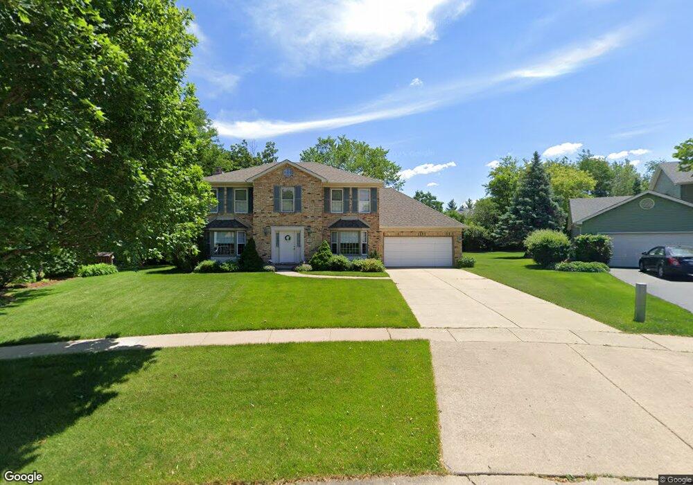
542 Appleton Dr Batavia, IL 60510
Woodland Hills NeighborhoodEstimated Value: $436,330 - $489,000
4
Beds
3
Baths
2,300
Sq Ft
$204/Sq Ft
Est. Value
About This Home
This home is located at 542 Appleton Dr, Batavia, IL 60510 and is currently estimated at $469,583, approximately $204 per square foot. 542 Appleton Dr is a home located in Kane County with nearby schools including J B Nelson Elementary School, Sam Rotolo Middle School, and Batavia Sr High School.
Ownership History
Date
Name
Owned For
Owner Type
Purchase Details
Closed on
Dec 20, 2005
Sold by
Taylor Brent E and Taylor Diana L
Bought by
Palmer Roy E and Palmer Linda A
Current Estimated Value
Home Financials for this Owner
Home Financials are based on the most recent Mortgage that was taken out on this home.
Original Mortgage
$200,000
Outstanding Balance
$113,161
Interest Rate
6.48%
Mortgage Type
Fannie Mae Freddie Mac
Estimated Equity
$356,423
Create a Home Valuation Report for This Property
The Home Valuation Report is an in-depth analysis detailing your home's value as well as a comparison with similar homes in the area
Home Values in the Area
Average Home Value in this Area
Purchase History
| Date | Buyer | Sale Price | Title Company |
|---|---|---|---|
| Palmer Roy E | $320,000 | Chicago Title Insurance Comp |
Source: Public Records
Mortgage History
| Date | Status | Borrower | Loan Amount |
|---|---|---|---|
| Open | Palmer Roy E | $200,000 |
Source: Public Records
Tax History
| Year | Tax Paid | Tax Assessment Tax Assessment Total Assessment is a certain percentage of the fair market value that is determined by local assessors to be the total taxable value of land and additions on the property. | Land | Improvement |
|---|---|---|---|---|
| 2024 | $9,068 | $130,687 | $29,692 | $100,995 |
| 2023 | $8,805 | $118,613 | $26,949 | $91,664 |
| 2022 | $8,719 | $110,853 | $25,186 | $85,667 |
| 2021 | $7,842 | $105,134 | $23,887 | $81,247 |
| 2020 | $7,807 | $103,113 | $23,428 | $79,685 |
| 2019 | $7,978 | $99,463 | $22,599 | $76,864 |
| 2018 | $7,640 | $95,674 | $21,738 | $73,936 |
| 2017 | $7,893 | $92,519 | $21,021 | $71,498 |
| 2016 | $7,724 | $89,825 | $20,409 | $69,416 |
| 2015 | -- | $87,779 | $19,944 | $67,835 |
| 2014 | -- | $85,016 | $19,316 | $65,700 |
| 2013 | -- | $90,362 | $25,944 | $64,418 |
Source: Public Records
Map
Nearby Homes
- 1136 Pine Ct
- 570 Violet Ln
- 121 S Raddant Rd
- Lot 1 Center St
- 1025 E Wilson St
- 694 Hart Rd
- 637 E Wilson St
- 304 S Prairie St
- 414 Cleveland Ave
- Lot 4 Manchester Ave
- 1206 Beckman Ln
- 860 S River St
- 524 N College St
- 637 Madison St
- 417 N Van Buren St
- 820 N Van Buren St
- 1402 Cherry Dr
- 404 S Batavia Ave
- 330 First St
- 345 Main St
- 532 Appleton Dr
- 942 Appleton Dr
- 631 Sylvan Ct
- 629 Sylvan Ct
- 522 Appleton Dr
- 633 Sylvan Ct
- 932 Appleton Dr
- 533 Appleton Dr
- 941 Campbell Ct
- 627 Sylvan Ct
- 1040 Wintergreen Terrace
- 922 Appleton Dr
- 523 Appleton Dr
- 512 Appleton Dr
- 931 Campbell Ct
- 1046 Wintergreen Terrace
- 625 Sylvan Ct
- 513 Appleton Dr
- 912 Appleton Dr
- 921 Campbell Ct
Your Personal Tour Guide
Ask me questions while you tour the home.