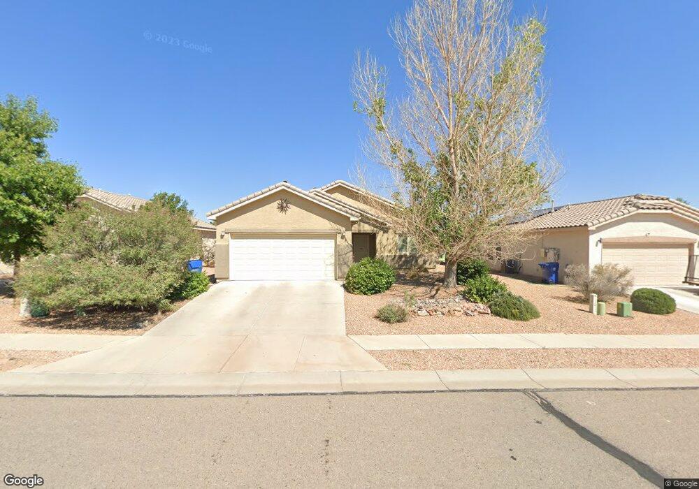
542 Creekside Ave SW Los Lunas, NM 87031
West Los Lunas NeighborhoodEstimated Value: $274,407 - $298,000
--
Bed
--
Bath
1,695
Sq Ft
$167/Sq Ft
Est. Value
About This Home
This home is located at 542 Creekside Ave SW, Los Lunas, NM 87031 and is currently estimated at $283,602, approximately $167 per square foot. 542 Creekside Ave SW is a home with nearby schools including Sundance Elementary School, Los Lunas Middle School, and Los Lunas High School.
Ownership History
Date
Name
Owned For
Owner Type
Purchase Details
Closed on
Nov 29, 2012
Sold by
Centex Homes A Nevavada Genter Partershi
Bought by
Thompson Lee M and Thompson Thomas
Current Estimated Value
Home Financials for this Owner
Home Financials are based on the most recent Mortgage that was taken out on this home.
Original Mortgage
$132,232
Outstanding Balance
$91,745
Interest Rate
3.4%
Mortgage Type
FHA
Estimated Equity
$191,857
Create a Home Valuation Report for This Property
The Home Valuation Report is an in-depth analysis detailing your home's value as well as a comparison with similar homes in the area
Home Values in the Area
Average Home Value in this Area
Purchase History
| Date | Buyer | Sale Price | Title Company |
|---|---|---|---|
| Thompson Lee M | -- | Pgp Title Llc |
Source: Public Records
Mortgage History
| Date | Status | Borrower | Loan Amount |
|---|---|---|---|
| Open | Thompson Lee M | $132,232 |
Source: Public Records
Tax History Compared to Growth
Tax History
| Year | Tax Paid | Tax Assessment Tax Assessment Total Assessment is a certain percentage of the fair market value that is determined by local assessors to be the total taxable value of land and additions on the property. | Land | Improvement |
|---|---|---|---|---|
| 2024 | $1,815 | $58,775 | $9,156 | $49,619 |
| 2023 | $1,747 | $57,063 | $8,950 | $48,113 |
| 2022 | $1,714 | $55,401 | $8,583 | $46,818 |
| 2021 | $1,676 | $53,787 | $8,840 | $44,947 |
| 2020 | $1,790 | $52,221 | $8,583 | $43,638 |
| 2019 | $1,800 | $52,221 | $8,583 | $43,638 |
| 2018 | $1,769 | $52,221 | $8,583 | $43,638 |
| 2017 | $1,710 | $51,270 | $8,583 | $42,687 |
| 2016 | $1,663 | $49,777 | $8,583 | $41,194 |
| 2015 | -- | $48,328 | $8,583 | $39,745 |
| 2013 | -- | $45,554 | $8,583 | $36,971 |
| 2011 | -- | $14,001 | $14,001 | $0 |
Source: Public Records
Map
Nearby Homes
- 680 Purple Aster Ave SW
- 750 Creekside Ave SW
- 3540 High Plains St SW
- 3198 Prairie Ridge St SW
- 3461 Lonetree St SW
- 275 Cloud View Ave SW
- 355 Black Hat Ave SW
- 3271 Prairie Ridge St SW
- 760 Blue Sage Ave SW
- 3700 Santa fe Trail SW
- Sandia Plan at The Trails at El Cerro
- Bandera Plan at The Trails at El Cerro
- Alameda Plan at The Trails at El Cerro
- Manzano Plan at The Trails at El Cerro
- 2981 Desert Sage Ave SW
- 241 Big Sky Ave SW
- 3787 Tayrien Ct SW
- 3771 Santa fe Trail SW
- 3781 Santa fe Trail SW
- 471 Chafey Dr SW
- 536 Creekside Ave SW
- 546 Creekside Ave SW
- 552 Creekside Ave SW
- 532 Creekside Ave SW
- 535 Creekside Ave SW
- 531 Creekside Ave SW
- 541 Creekside Ave SW
- 556 Creekside Ave SW
- 3437 Campfire St
- 545 Creekside Ave SW
- 551 Creekside Ave SW
- 3431 Campfire St
- 562 Creekside Ave SW
- 3451 Wagon Wheel St SW
- 3421 Wagon Wheel St SW
- 3427 Camp Fire St
- 555 Creekside Ave SW
- 3461 Wagon Wheel St SW
- 3370 Campfire St
- 3370 Camp Fire St