542 E Davis Rd Howell, MI 48843
Estimated Value: $415,000 - $486,000
4
Beds
4
Baths
3,000
Sq Ft
$146/Sq Ft
Est. Value
About This Home
This home is located at 542 E Davis Rd, Howell, MI 48843 and is currently estimated at $439,413, approximately $146 per square foot. 542 E Davis Rd is a home located in Livingston County with nearby schools including Parker Middle School, Howell High School, and St Joseph Catholic School.
Ownership History
Date
Name
Owned For
Owner Type
Purchase Details
Closed on
Jan 14, 2013
Sold by
Loomis Robert J and Loomis Kimberly A
Bought by
Loomis Robert J and Loomis Kimberly A
Current Estimated Value
Purchase Details
Closed on
Jun 29, 2011
Sold by
Melton Lorraine D and Melton John W
Bought by
Loomis Robert J and Hendee Kimberly A
Purchase Details
Closed on
May 2, 2005
Sold by
Mclean Maryann E and Mclean Ronald Steven
Bought by
Melton John W and Melton Lorraine D
Purchase Details
Closed on
Apr 2, 1999
Sold by
Mclean Ronald S and Mclean Maryann E
Bought by
Mclean Maryann E and Mclean Ronald Steven
Purchase Details
Closed on
Jun 15, 1994
Sold by
Kirby William A
Bought by
Mclean Ronald S and Mclean Maryann
Create a Home Valuation Report for This Property
The Home Valuation Report is an in-depth analysis detailing your home's value as well as a comparison with similar homes in the area
Home Values in the Area
Average Home Value in this Area
Purchase History
| Date | Buyer | Sale Price | Title Company |
|---|---|---|---|
| Loomis Robert J | -- | -- | |
| Loomis Robert J | $152,000 | -- | |
| Melton John W | $240,000 | Landmark Title Services | |
| Mclean Maryann E | -- | -- | |
| Mclean Ronald S | $138,500 | -- |
Source: Public Records
Tax History
| Year | Tax Paid | Tax Assessment Tax Assessment Total Assessment is a certain percentage of the fair market value that is determined by local assessors to be the total taxable value of land and additions on the property. | Land | Improvement |
|---|---|---|---|---|
| 2025 | $2,014 | $184,200 | $0 | $0 |
| 2024 | $1,957 | $148,200 | $0 | $0 |
| 2023 | $1,869 | $141,600 | $0 | $0 |
| 2022 | $2,542 | $132,700 | $0 | $0 |
| 2021 | $2,479 | $132,700 | $0 | $0 |
| 2020 | $2,526 | $132,200 | $0 | $0 |
| 2019 | $2,489 | $126,700 | $0 | $0 |
| 2018 | $2,462 | $131,700 | $0 | $0 |
| 2017 | $2,427 | $133,100 | $0 | $0 |
| 2016 | $2,413 | $129,700 | $0 | $0 |
| 2014 | -- | $107,700 | $0 | $0 |
| 2012 | -- | $97,400 | $0 | $0 |
Source: Public Records
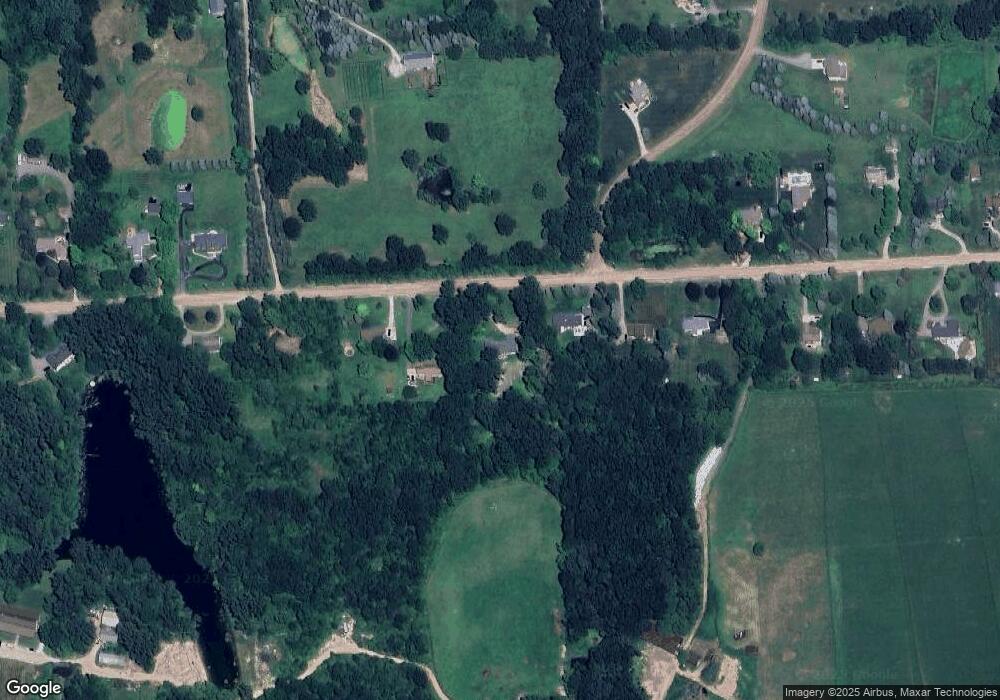
Map
Nearby Homes
- 0000 Crooked Lake Rd
- 3530 Kipling Cir
- 2315 Gilder Dr
- 2323 Gilder Dr
- 513 Round Rock Dr
- 2298 Gilder Dr
- 2324 Gilder Dr
- 2288 Gilder Dr
- 340 Mcdowell Dr
- 331 Mcdowell Dr
- MOH 78 Round Rock Dr
- LOT 73 Round Rock
- The Dunes Plan at Marion Oaks - The Links
- The Arcadia Plan at Marion Oaks - The Links
- The Bear Plan at Marion Oaks - The Links
- 232 Marion Oaks Dr
- 652 Round Rock Dr
- 659 Round Rock Dr
- 601 Birkdale Dr (Moh 45)
- 660 Dr
- 500 E Davis Rd
- 590 E Davis Rd
- 460 E Davis Rd
- 638 E Davis Rd
- 684 E Davis Rd
- 354 E Davis Rd
- 2930 Harvest Dr
- 699 E Davis Rd
- 750 E Davis Rd Unit Bldg-Unit
- 750 E Davis Rd
- 723 E Davis Rd
- 333 E Davis Rd Unit Bldg-Unit
- 333 E Davis Rd
- 800 E Davis Rd
- 325 E Davis Rd
- 2854 Harvest Dr
- 3111 Pinckney Rd
- 222 E Davis Rd
- 825 E Davis Rd
- 820 E Davis Rd
Your Personal Tour Guide
Ask me questions while you tour the home.