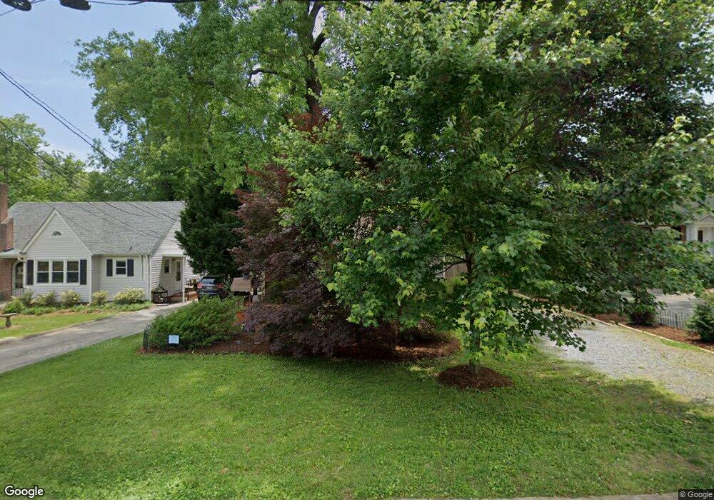
542 E Farriss Ave High Point, NC 27262
Greater High Point NeighborhoodEstimated Value: $157,000 - $215,000
2
Beds
1
Bath
1,086
Sq Ft
$165/Sq Ft
Est. Value
About This Home
This home is located at 542 E Farriss Ave, High Point, NC 27262 and is currently estimated at $178,987, approximately $164 per square foot. 542 E Farriss Ave is a home located in Guilford County with nearby schools including Kirkman Park Elementary School, Penn-Griffin School for the Arts, and T.W. Andrews High School.
Ownership History
Date
Name
Owned For
Owner Type
Purchase Details
Closed on
Jan 6, 2002
Sold by
Hunt Edythe S
Bought by
Hunt Rockie J
Current Estimated Value
Home Financials for this Owner
Home Financials are based on the most recent Mortgage that was taken out on this home.
Original Mortgage
$45,000
Interest Rate
6.1%
Mortgage Type
Purchase Money Mortgage
Create a Home Valuation Report for This Property
The Home Valuation Report is an in-depth analysis detailing your home's value as well as a comparison with similar homes in the area
Home Values in the Area
Average Home Value in this Area
Purchase History
| Date | Buyer | Sale Price | Title Company |
|---|---|---|---|
| Hunt Rockie J | -- | -- |
Source: Public Records
Mortgage History
| Date | Status | Borrower | Loan Amount |
|---|---|---|---|
| Closed | Hunt Rockie J | $45,000 |
Source: Public Records
Tax History Compared to Growth
Tax History
| Year | Tax Paid | Tax Assessment Tax Assessment Total Assessment is a certain percentage of the fair market value that is determined by local assessors to be the total taxable value of land and additions on the property. | Land | Improvement |
|---|---|---|---|---|
| 2025 | $1,319 | $95,700 | $30,000 | $65,700 |
| 2024 | $1,319 | $95,700 | $30,000 | $65,700 |
| 2023 | $1,319 | $95,700 | $30,000 | $65,700 |
| 2022 | $1,290 | $95,700 | $30,000 | $65,700 |
| 2021 | $973 | $70,600 | $22,000 | $48,600 |
| 2020 | $973 | $70,600 | $22,000 | $48,600 |
| 2019 | $973 | $70,600 | $0 | $0 |
| 2018 | $968 | $70,600 | $0 | $0 |
| 2017 | $973 | $70,600 | $0 | $0 |
| 2016 | $1,013 | $72,200 | $0 | $0 |
| 2015 | $1,018 | $72,200 | $0 | $0 |
| 2014 | $1,035 | $72,200 | $0 | $0 |
Source: Public Records
Map
Nearby Homes
- 721 Forrest St
- 719 Forrest St
- 509 Woodrow Ave
- 304 Louise Ave
- 910 E Dayton Ave
- 1108 Forrest St
- 1110 Forrest St
- 1013 Johnson St
- 905 Mint Ave
- 837 Willow Place
- 1428 Futrelle Dr
- 410 Cedar St
- 1433 Larkin St
- 1518 Johnson St
- 1507 Larkin St
- 1602 Larkin St
- 207 Hillcrest Dr
- 1308 Boundary Ave
- 208 Underhill St
- 1714 N Hamilton St Unit A
- 540 E Farriss Ave
- 544 E Farriss Ave
- 538 E Farriss Ave
- 546 E Farriss Ave
- 536 E Farriss Ave
- 547 E Farriss Ave
- 543 E Farriss Ave
- 541 E Farriss Ave
- 545 E Farriss Ave
- 534 E Farriss Ave
- 811 Putnam St
- 720 Brookside Dr
- 539 E Farriss Ave
- 727 Forrest St
- 537 E Farriss Ave
- 723 Forrest St
- 718 Brookside Dr
- 535 E Farriss Ave
- 819 Putnam St
- 530 E Farriss Ave
