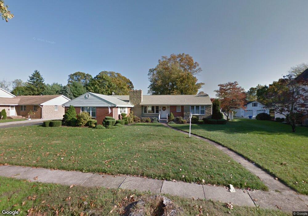
542 Grape St Hammonton, NJ 08037
Estimated Value: $389,000 - $446,000
--
Bed
--
Bath
1,606
Sq Ft
$252/Sq Ft
Est. Value
About This Home
This home is located at 542 Grape St, Hammonton, NJ 08037 and is currently estimated at $404,805, approximately $252 per square foot. 542 Grape St is a home located in Atlantic County with nearby schools including Hammonton Early Childhood Education Center, Warren E. Sooy Jr. Elementary School, and Hammonton Middle School.
Ownership History
Date
Name
Owned For
Owner Type
Purchase Details
Closed on
Sep 15, 2017
Sold by
Pallaga Donio Dennis J
Bought by
Hpc3 Llc
Current Estimated Value
Home Financials for this Owner
Home Financials are based on the most recent Mortgage that was taken out on this home.
Original Mortgage
$80,000
Outstanding Balance
$66,788
Interest Rate
3.89%
Mortgage Type
Commercial
Estimated Equity
$338,017
Purchase Details
Closed on
Aug 15, 1991
Sold by
Fithian Ephraim B
Bought by
Carr Henry P and Carr Kathleen A
Create a Home Valuation Report for This Property
The Home Valuation Report is an in-depth analysis detailing your home's value as well as a comparison with similar homes in the area
Home Values in the Area
Average Home Value in this Area
Purchase History
| Date | Buyer | Sale Price | Title Company |
|---|---|---|---|
| Hpc3 Llc | $100,000 | World Title Agcy | |
| Carr Henry P | $157,500 | -- |
Source: Public Records
Mortgage History
| Date | Status | Borrower | Loan Amount |
|---|---|---|---|
| Open | Hpc3 Llc | $80,000 |
Source: Public Records
Tax History Compared to Growth
Tax History
| Year | Tax Paid | Tax Assessment Tax Assessment Total Assessment is a certain percentage of the fair market value that is determined by local assessors to be the total taxable value of land and additions on the property. | Land | Improvement |
|---|---|---|---|---|
| 2025 | $6,830 | $248,200 | $62,800 | $185,400 |
| 2024 | $6,830 | $248,200 | $62,800 | $185,400 |
| 2023 | $6,758 | $248,200 | $62,800 | $185,400 |
| 2022 | $6,758 | $248,200 | $62,800 | $185,400 |
| 2021 | $6,783 | $248,200 | $62,800 | $185,400 |
| 2020 | $6,749 | $248,200 | $62,800 | $185,400 |
| 2019 | $6,724 | $248,200 | $62,800 | $185,400 |
| 2018 | $6,691 | $248,200 | $62,800 | $185,400 |
| 2017 | $6,597 | $248,200 | $62,800 | $185,400 |
| 2016 | $6,356 | $248,200 | $62,800 | $185,400 |
| 2015 | $6,170 | $248,200 | $62,800 | $185,400 |
| 2014 | $6,339 | $170,900 | $45,000 | $125,900 |
Source: Public Records
Map
Nearby Homes
- 52 N Packard St
- 369 S 3rd St
- 362 S 3rd St
- 301 N 4th St
- 36 Harbor Dr
- 56 Samuel Dr
- 425 N Packard St
- 21 Harbor Dr
- 413 Pratt St
- 44 Harborwood Dr Unit CO44
- 426 Bella Vita Ct
- 124 Batchelor Ln
- 19 Middle Rd
- 687 Fairview Ave
- Block: 3033 Lot: 13 14 15 16 17&18
- 103 W End Ave
- 105 W End Ave
- 107 W End Ave
- 109 W End Ave
- 113 W End Ave