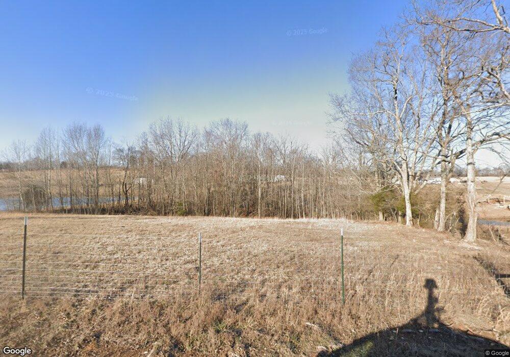
542 Howell Rd Westmoreland, TN 37186
Estimated Value: $167,000 - $298,000
--
Bed
1
Bath
1,794
Sq Ft
$128/Sq Ft
Est. Value
About This Home
This home is located at 542 Howell Rd, Westmoreland, TN 37186 and is currently estimated at $230,372, approximately $128 per square foot. 542 Howell Rd is a home located in Macon County.
Ownership History
Date
Name
Owned For
Owner Type
Purchase Details
Closed on
Oct 27, 2023
Sold by
Petty Robert H
Bought by
Taylor Zach
Current Estimated Value
Purchase Details
Closed on
Apr 15, 2011
Sold by
Secretary Of Housing And U
Bought by
Petty Robert H
Purchase Details
Closed on
May 25, 2010
Sold by
Cook Jesse S
Bought by
Secretary Of Department Of Hou
Purchase Details
Closed on
Aug 16, 2005
Bought by
Cook Jesse S & Jennifer
Purchase Details
Closed on
Sep 19, 1994
Bought by
Scholl W Stephen W and Scholl Dawn J
Purchase Details
Closed on
Jun 27, 1990
Bought by
Simons Marvin Young and Simons Teresa K
Purchase Details
Closed on
Jan 9, 1953
Bought by
Meador Meador J and Meador Erma
Create a Home Valuation Report for This Property
The Home Valuation Report is an in-depth analysis detailing your home's value as well as a comparison with similar homes in the area
Home Values in the Area
Average Home Value in this Area
Purchase History
| Date | Buyer | Sale Price | Title Company |
|---|---|---|---|
| Taylor Zach | -- | None Listed On Document | |
| Petty Robert H | $65,000 | -- | |
| Secretary Of Department Of Hou | $128,054 | -- | |
| Cook Jesse S & Jennifer | $93,000 | -- | |
| Scholl W Stephen W | $68,000 | -- | |
| Simons Marvin Young | $35,000 | -- | |
| Meador Meador J | -- | -- |
Source: Public Records
Tax History Compared to Growth
Tax History
| Year | Tax Paid | Tax Assessment Tax Assessment Total Assessment is a certain percentage of the fair market value that is determined by local assessors to be the total taxable value of land and additions on the property. | Land | Improvement |
|---|---|---|---|---|
| 2024 | $451 | $31,925 | $5,575 | $26,350 |
| 2023 | $451 | $31,925 | $0 | $0 |
| 2022 | $452 | $18,850 | $4,925 | $13,925 |
| 2021 | $452 | $18,850 | $4,925 | $13,925 |
| 2020 | $452 | $18,850 | $4,925 | $13,925 |
| 2019 | $452 | $18,850 | $4,925 | $13,925 |
| 2018 | $417 | $18,850 | $4,925 | $13,925 |
| 2017 | $408 | $16,175 | $3,750 | $12,425 |
| 2016 | $388 | $16,175 | $3,750 | $12,425 |
| 2015 | $388 | $16,175 | $3,750 | $12,425 |
| 2014 | $388 | $16,169 | $0 | $0 |
Source: Public Records
Map
Nearby Homes
- 670 Howell Rd
- 295 Akins Heights Ln
- 11076 Highway 52 W
- 234 Haven Way
- 458 Robins Trail
- 219 Wagoners Way
- 401 Robins Trail
- 401 Robin's Trail
- 10029 Old Highway 52
- 6221 Austin Peay Hwy
- 4169 Bledsoe St
- 393 Leaths Branch Rd
- 1112 New Highway 52 E
- 8943 Phillips Hollow Rd
- 1131 New Hwy 52
- 1123 New Hwy 52
- 5270 New Highway 31e
- 2131 Lambert Dr
- 177 Lauren Ln
- 3037 Tunnel Rd
