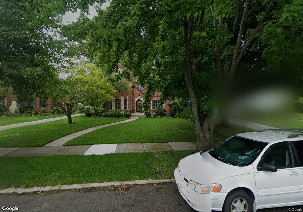
542 Lakepointe St Grosse Pointe Park, MI 48230
Estimated Value: $728,000 - $800,000
--
Bed
1
Bath
3,100
Sq Ft
$243/Sq Ft
Est. Value
About This Home
This home is located at 542 Lakepointe St, Grosse Pointe Park, MI 48230 and is currently estimated at $754,067, approximately $243 per square foot. 542 Lakepointe St is a home located in Wayne County with nearby schools including Pierce Middle School, Grosse Pointe South High School, and Detroit Merit Charter Academy.
Ownership History
Date
Name
Owned For
Owner Type
Purchase Details
Closed on
Apr 12, 2022
Sold by
Carroll Robert W and Carroll Cheryl A
Bought by
Carroll Robert W and Carroll Robert W
Current Estimated Value
Purchase Details
Closed on
Jan 30, 2019
Sold by
Carroll Robert W and Carroll Cheryl A
Bought by
Carroll Robert W and Carroll Cheryl A
Create a Home Valuation Report for This Property
The Home Valuation Report is an in-depth analysis detailing your home's value as well as a comparison with similar homes in the area
Home Values in the Area
Average Home Value in this Area
Purchase History
| Date | Buyer | Sale Price | Title Company |
|---|---|---|---|
| Carroll Robert W | -- | Land Title | |
| Carroll Robert W | -- | Land Title | |
| Carroll Robert W | -- | None Available |
Source: Public Records
Tax History Compared to Growth
Tax History
| Year | Tax Paid | Tax Assessment Tax Assessment Total Assessment is a certain percentage of the fair market value that is determined by local assessors to be the total taxable value of land and additions on the property. | Land | Improvement |
|---|---|---|---|---|
| 2025 | $6,290 | $335,400 | $0 | $0 |
| 2024 | $6,290 | $315,500 | $0 | $0 |
| 2023 | $6,006 | $282,500 | $0 | $0 |
| 2022 | $5,706 | $251,400 | $0 | $0 |
| 2021 | $11,251 | $270,000 | $0 | $0 |
| 2019 | $11,579 | $240,700 | $0 | $0 |
| 2018 | $5,244 | $219,500 | $0 | $0 |
| 2017 | $11,528 | $172,600 | $0 | $0 |
| 2016 | $10,853 | $228,100 | $0 | $0 |
| 2015 | $19,623 | $217,000 | $0 | $0 |
| 2013 | $19,010 | $193,900 | $0 | $0 |
| 2012 | $4,919 | $203,500 | $55,500 | $148,000 |
Source: Public Records
Map
Nearby Homes
- 15345 Windmill Pointe Dr
- 502 Pemberton Rd
- 15215 Windmill Pointe Dr
- 15230 Windmill Pointe Dr
- 225 Ashland St
- 709 Lakepointe St
- 289 Manistique St
- 14511 Harbor Island St
- 429 Manistique St
- 504 Alter Rd
- 807 Barrington Rd
- 458 Marlborough St
- 388 Chalmers St
- 221 Chalmers St
- 487 Philip St
- 402 Chalmers St
- 14356 Harbor Island
- 383 Chalmers St
- 847 Barrington Rd
- 219 Lakewood St
- 550 Lakepointe St
- 534 Lakepointe St
- 528 Lakepointe St
- 556 Lakepointe St
- 545 Middlesex Rd
- 553 Middlesex Rd Unit Bldg-Unit
- 553 Middlesex Rd
- 529 Middlesex Rd
- 524 Lakepointe St
- 564 Lakepointe St
- 543 Lakepointe St
- 529 Lakepointe St
- 561 Middlesex Rd
- 521 Middlesex Rd
- 525 Middlesex Rd
- 523 Lakepointe St
- 551 Lakepointe St
- 535 Lakepointe St
- 520 Lakepointe St
- 567 Middlesex Rd