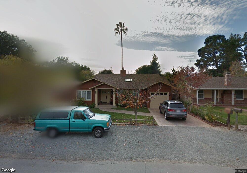
542 Paco Dr Los Altos, CA 94024
Estimated Value: $4,051,815 - $5,290,000
3
Beds
2
Baths
1,008
Sq Ft
$4,540/Sq Ft
Est. Value
About This Home
This home is located at 542 Paco Dr, Los Altos, CA 94024 and is currently estimated at $4,576,204, approximately $4,539 per square foot. 542 Paco Dr is a home located in Santa Clara County with nearby schools including Covington Elementary School, Georgina P. Blach Junior High School, and Los Altos High School.
Ownership History
Date
Name
Owned For
Owner Type
Purchase Details
Closed on
Mar 13, 2010
Sold by
Liewer Richard Walter and Liewer Christine Marie
Bought by
Liewer Richard Walter and Liewer Christine Marie
Current Estimated Value
Purchase Details
Closed on
Jan 23, 2010
Sold by
Liewer Richard Walter and Liewer Christine Marie
Bought by
Liewer Richard Walter and Liewer Christine Marie
Purchase Details
Closed on
Apr 15, 2003
Sold by
Liewer Richard W and Liewer Christine M
Bought by
Liewer Richard Walter and Liewer Christine Marie
Create a Home Valuation Report for This Property
The Home Valuation Report is an in-depth analysis detailing your home's value as well as a comparison with similar homes in the area
Home Values in the Area
Average Home Value in this Area
Purchase History
| Date | Buyer | Sale Price | Title Company |
|---|---|---|---|
| Liewer Richard Walter | -- | None Available | |
| Liewer Richard Walter | -- | None Available | |
| Liewer Richard Walter | -- | -- |
Source: Public Records
Tax History
| Year | Tax Paid | Tax Assessment Tax Assessment Total Assessment is a certain percentage of the fair market value that is determined by local assessors to be the total taxable value of land and additions on the property. | Land | Improvement |
|---|---|---|---|---|
| 2025 | $5,316 | $317,674 | $78,292 | $239,382 |
| 2024 | $5,316 | $311,446 | $76,757 | $234,689 |
| 2023 | $5,013 | $305,340 | $75,252 | $230,088 |
| 2022 | $4,927 | $299,354 | $73,777 | $225,577 |
| 2021 | $4,946 | $293,485 | $72,331 | $221,154 |
| 2020 | $4,931 | $290,477 | $71,590 | $218,887 |
| 2019 | $4,813 | $284,783 | $70,187 | $214,596 |
| 2018 | $4,676 | $279,200 | $68,811 | $210,389 |
| 2017 | $4,576 | $273,726 | $67,462 | $206,264 |
| 2016 | $4,462 | $268,360 | $66,140 | $202,220 |
| 2015 | $4,388 | $264,330 | $65,147 | $199,183 |
| 2014 | $4,326 | $259,153 | $63,871 | $195,282 |
Source: Public Records
Map
Nearby Homes
- 678 Benvenue Ave
- 1011 Tulane Dr
- 416 Gabilan St
- 130 Lyell St
- 484 Gabilan St Unit 3
- 1714 Cherrytree Ln
- 128 Cuesta Dr Unit 5
- 253 Fremont Ave
- 393 Covington Rd
- 480 Lassen St Unit 6
- 1717 Peartree Ln
- 62 Cuesta Dr
- 522 Tyndall St
- 1141 Lincoln Dr
- 655 Washington St
- 1515 Miramonte Ave
- 956 Trophy Dr
- 425 1st St Unit 14
- 450 1st St Unit 204
- 450 1st St Unit 201
Your Personal Tour Guide
Ask me questions while you tour the home.