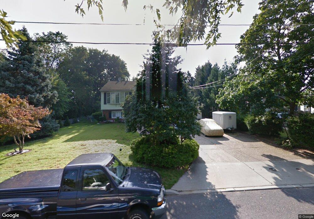
542 Rowand Ave Glendora, NJ 08029
Estimated Value: $321,000 - $443,000
--
Bed
--
Bath
2,200
Sq Ft
$174/Sq Ft
Est. Value
About This Home
This home is located at 542 Rowand Ave, Glendora, NJ 08029 and is currently estimated at $383,387, approximately $174 per square foot. 542 Rowand Ave is a home located in Camden County with nearby schools including Glen Landing Middle School, Triton High School, and St. Teresa Regional School.
Ownership History
Date
Name
Owned For
Owner Type
Purchase Details
Closed on
Apr 28, 1999
Sold by
Thompson Richard L
Bought by
Rocca Domenico and Rocca Marianne
Current Estimated Value
Home Financials for this Owner
Home Financials are based on the most recent Mortgage that was taken out on this home.
Original Mortgage
$85,000
Outstanding Balance
$21,563
Interest Rate
6.82%
Estimated Equity
$361,824
Purchase Details
Closed on
Mar 28, 1995
Sold by
Centrone Joseph
Bought by
Thompson Richard L and Thompson Theresa
Home Financials for this Owner
Home Financials are based on the most recent Mortgage that was taken out on this home.
Original Mortgage
$85,000
Interest Rate
8.49%
Create a Home Valuation Report for This Property
The Home Valuation Report is an in-depth analysis detailing your home's value as well as a comparison with similar homes in the area
Home Values in the Area
Average Home Value in this Area
Purchase History
| Date | Buyer | Sale Price | Title Company |
|---|---|---|---|
| Rocca Domenico | $125,000 | -- | |
| Thompson Richard L | $125,000 | -- |
Source: Public Records
Mortgage History
| Date | Status | Borrower | Loan Amount |
|---|---|---|---|
| Open | Rocca Domenico | $85,000 | |
| Previous Owner | Thompson Richard L | $85,000 |
Source: Public Records
Tax History Compared to Growth
Tax History
| Year | Tax Paid | Tax Assessment Tax Assessment Total Assessment is a certain percentage of the fair market value that is determined by local assessors to be the total taxable value of land and additions on the property. | Land | Improvement |
|---|---|---|---|---|
| 2025 | $9,530 | $225,500 | $56,100 | $169,400 |
| 2024 | $9,212 | $225,500 | $56,100 | $169,400 |
| 2023 | $9,212 | $225,500 | $56,100 | $169,400 |
| 2022 | $9,162 | $225,500 | $56,100 | $169,400 |
| 2021 | $8,970 | $225,500 | $56,100 | $169,400 |
| 2020 | $8,977 | $225,500 | $56,100 | $169,400 |
| 2019 | $8,779 | $225,500 | $56,100 | $169,400 |
| 2018 | $8,740 | $225,500 | $56,100 | $169,400 |
| 2017 | $10,184 | $225,500 | $56,100 | $169,400 |
| 2016 | $8,271 | $225,500 | $56,100 | $169,400 |
| 2015 | $7,678 | $225,500 | $56,100 | $169,400 |
| 2014 | $7,633 | $225,500 | $56,100 | $169,400 |
Source: Public Records
Map
Nearby Homes
- 540 Rowand Ave
- 548 Rowand Ave
- 530 Rowand Ave
- 801 Roosevelt Ave
- 559 Roosevelt Ave
- 805 Roosevelt Ave
- 556 Rowand Ave
- 809 Roosevelt Ave
- 528 Rowand Ave
- 539 Roosevelt Ave
- 535 Rowand Ave
- 541 Rowand Ave
- 813 Roosevelt Ave
- 535 Roosevelt Ave
- 529 Rowand Ave
- 545 Rowand Ave
- 525 Rowand Ave
- 549 Rowand Ave
- 522 Rowand Ave
- 527 Roosevelt Ave