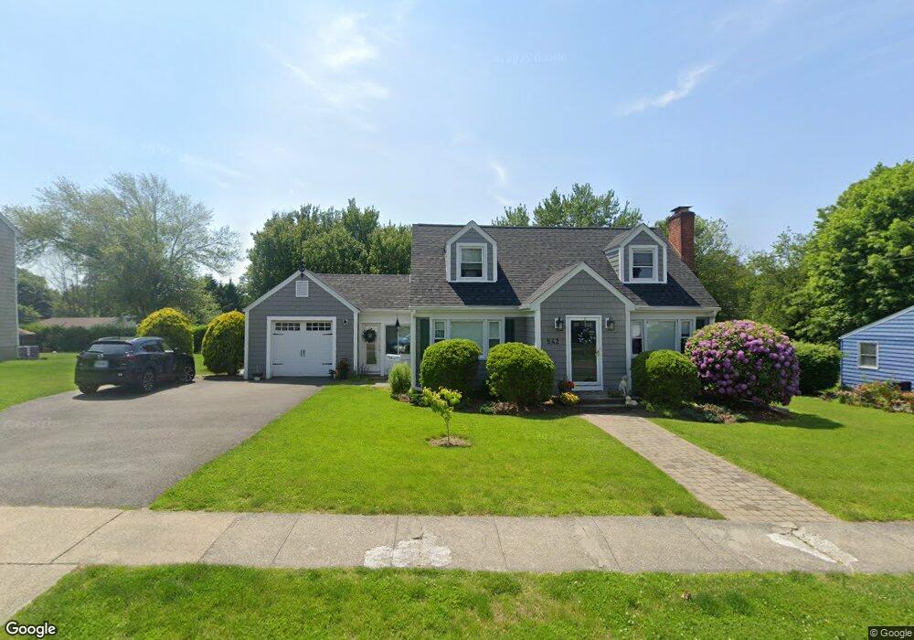
542 W River St Milford, CT 06461
Parkway/Wheelers Farm Road NeighborhoodEstimated Value: $517,000 - $570,000
3
Beds
2
Baths
1,459
Sq Ft
$373/Sq Ft
Est. Value
About This Home
This home is located at 542 W River St, Milford, CT 06461 and is currently estimated at $544,865, approximately $373 per square foot. 542 W River St is a home located in New Haven County with nearby schools including Mathewson School, Harborside Middle School, and Jonathan Law High School.
Ownership History
Date
Name
Owned For
Owner Type
Purchase Details
Closed on
Nov 4, 2008
Sold by
Lagenback Sharron M
Bought by
Aldrich Robert A and Aldrich Janet R
Current Estimated Value
Purchase Details
Closed on
May 17, 2004
Sold by
Rainbow Dev
Bought by
Graikoski Margaret M
Create a Home Valuation Report for This Property
The Home Valuation Report is an in-depth analysis detailing your home's value as well as a comparison with similar homes in the area
Home Values in the Area
Average Home Value in this Area
Purchase History
| Date | Buyer | Sale Price | Title Company |
|---|---|---|---|
| Aldrich Robert A | $305,000 | -- | |
| Aldrich Robert A | $305,000 | -- | |
| Graikoski Margaret M | $309,900 | -- | |
| Graikoski Margaret M | $309,900 | -- |
Source: Public Records
Mortgage History
| Date | Status | Borrower | Loan Amount |
|---|---|---|---|
| Previous Owner | Graikoski Margaret M | $65,000 |
Source: Public Records
Tax History Compared to Growth
Tax History
| Year | Tax Paid | Tax Assessment Tax Assessment Total Assessment is a certain percentage of the fair market value that is determined by local assessors to be the total taxable value of land and additions on the property. | Land | Improvement |
|---|---|---|---|---|
| 2025 | $6,739 | $228,050 | $89,540 | $138,510 |
| 2024 | $6,645 | $228,050 | $89,540 | $138,510 |
| 2023 | $6,196 | $228,050 | $89,540 | $138,510 |
| 2022 | $6,078 | $228,050 | $89,540 | $138,510 |
| 2021 | $5,099 | $184,420 | $62,370 | $122,050 |
| 2020 | $5,105 | $184,420 | $62,370 | $122,050 |
| 2019 | $5,110 | $184,420 | $62,370 | $122,050 |
| 2018 | $5,116 | $184,420 | $62,370 | $122,050 |
| 2017 | $5,075 | $182,620 | $62,370 | $120,250 |
| 2016 | $5,112 | $183,620 | $62,370 | $121,250 |
| 2015 | $5,119 | $183,620 | $62,370 | $121,250 |
| 2014 | $4,998 | $183,620 | $62,370 | $121,250 |
Source: Public Records
Map
Nearby Homes
- 139 Wepawaug Dr
- 36 Randolph Farm Rd
- 156 Fresh Meadow Ln
- 492 North St
- 0 North St
- 20 Aspen Cir
- 193 Wheelers Farms Rd
- 156 Meadow St
- 6 Vernon Ct
- 324 Wheelers Farms Rd
- 364 Orange Ave
- 150 Forest Rd Unit 40
- 0 E Rutland Rd
- 97 North St
- 45 Forest Rd Unit A
- 238 Zion Hill Rd
- 31 Ross St
- 27 Peck St
- 99 Pine Knob Terrace
- 143 Juniper Dr
- 550 W River St
- 534 W River St
- 26 Grassland Rd
- 34 Grassland Rd
- 539 W River St
- 6 Grassland Rd
- 531 W River St
- 528 W River St
- 180 Wepawaug Dr
- 40 Grassland Rd
- 525 W River St
- 168 Wepawaug Dr
- 520 W River St
- 2 Wepawaug Dr
- 519 W River St
- 21 Grassland Rd
- 156 Wepawaug Dr
- 5 Grassland Rd
- 35 Grassland Rd
- 15 Grassland Rd