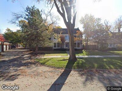
542 Wayland Ave Kenilworth, IL 60043
Kenilworth NeighborhoodEstimated Value: $1,469,000 - $1,666,000
4
Beds
3
Baths
3,308
Sq Ft
$479/Sq Ft
Est. Value
About This Home
This home is located at 542 Wayland Ave, Kenilworth, IL 60043 and is currently estimated at $1,584,933, approximately $479 per square foot. 542 Wayland Ave is a home located in Cook County with nearby schools including The Joseph Sears School, New Trier Township High School, and New Trier Township High School - Northfield.
Ownership History
Date
Name
Owned For
Owner Type
Purchase Details
Closed on
Mar 10, 1995
Sold by
Nbd Bank
Bought by
Minhas Brijinder S and Minhas Manjitinder K
Current Estimated Value
Home Financials for this Owner
Home Financials are based on the most recent Mortgage that was taken out on this home.
Original Mortgage
$396,800
Interest Rate
8.97%
Purchase Details
Closed on
Mar 1, 1994
Sold by
Epstein Robert and Epstein Eileen
Bought by
Nbd Bank
Create a Home Valuation Report for This Property
The Home Valuation Report is an in-depth analysis detailing your home's value as well as a comparison with similar homes in the area
Home Values in the Area
Average Home Value in this Area
Purchase History
| Date | Buyer | Sale Price | Title Company |
|---|---|---|---|
| Minhas Brijinder S | $496,000 | -- |
Source: Public Records
Mortgage History
| Date | Status | Borrower | Loan Amount |
|---|---|---|---|
| Open | Minhas Brijinder S | $313,000 | |
| Closed | Minhas Brijinder S | $323,000 | |
| Closed | Minhas Brijinder S | $325,500 | |
| Closed | Minhas Brijinder S | $374,000 | |
| Closed | Minhas Brijinder S | $381,000 | |
| Closed | Minhas Brijinder S | $401,000 | |
| Closed | Minhas Brijinder S | $396,800 |
Source: Public Records
Tax History Compared to Growth
Tax History
| Year | Tax Paid | Tax Assessment Tax Assessment Total Assessment is a certain percentage of the fair market value that is determined by local assessors to be the total taxable value of land and additions on the property. | Land | Improvement |
|---|---|---|---|---|
| 2024 | $26,838 | $117,000 | $29,322 | $87,678 |
| 2023 | $26,838 | $117,000 | $29,322 | $87,678 |
| 2022 | $26,838 | $117,000 | $29,322 | $87,678 |
| 2021 | $31,562 | $110,226 | $19,242 | $90,984 |
| 2020 | $30,680 | $110,226 | $19,242 | $90,984 |
| 2019 | $29,729 | $121,128 | $19,242 | $101,886 |
| 2018 | $28,528 | $114,150 | $16,493 | $97,657 |
| 2017 | $27,699 | $114,150 | $16,493 | $97,657 |
| 2016 | $26,313 | $114,150 | $16,493 | $97,657 |
| 2015 | $25,860 | $99,282 | $13,515 | $85,767 |
| 2014 | $25,198 | $99,282 | $13,515 | $85,767 |
| 2013 | $23,738 | $99,282 | $13,515 | $85,767 |
Source: Public Records
Map
Nearby Homes
- 515 Park Dr
- 519 Park Dr
- 611 Abbotsford Rd
- 530 Essex Rd
- 349 Ridge Rd
- 1937 Beechwood Ave
- 2002 Chestnut Ave
- 527 Warwick Rd
- 338 Woodstock Ave
- 751 Maclean Ave
- 518 Winnetka Ave Unit 301
- 97 High St
- 306 Oxford Rd
- 2131 Kenilworth Ave
- 932 15th St
- 1041 Ridge Rd Unit 315
- 1041 Ridge Rd Unit 403
- 140 Sheridan Rd
- 1222 Chestnut Ave
- 329 Raleigh Rd
- 542 Wayland Ave
- 544 Wayland Ave
- 532 Wayland Ave
- 536 Wayland Ave
- 534 Wayland Ave
- 516 Green Bay Rd
- 548 Wayland Ave
- 543 Melrose Ave
- 539 Melrose Ave
- 530 Wayland Ave
- 530 Wayland Ave Unit END
- 547 Melrose Ave
- 547 Melrose Ave Unit ER1
- 547 Melrose Ave Unit ER
- 535 Melrose Ave
- 552 Wayland Ave
- 551 Melrose Ave
- 535 Wayland Ave Unit A
- 535 Wayland Ave Unit E
- 535 Wayland Ave Unit B