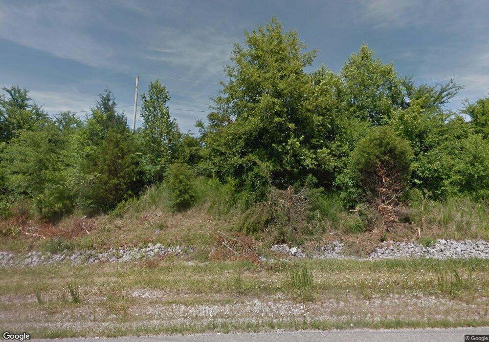
5420 Highway 50 Centerville, TN 37033
Estimated Value: $209,000 - $358,000
3
Beds
2
Baths
1,560
Sq Ft
$192/Sq Ft
Est. Value
About This Home
This home is located at 5420 Highway 50, Centerville, TN 37033 and is currently estimated at $299,200, approximately $191 per square foot. 5420 Highway 50 is a home located in Hickman County with nearby schools including Centerville Elementary School, Centerville Intermediate School, and Hickman County Middle School.
Ownership History
Date
Name
Owned For
Owner Type
Purchase Details
Closed on
Sep 19, 2011
Sold by
Toole Robin A
Bought by
Damm Henry C
Current Estimated Value
Purchase Details
Closed on
Aug 17, 2005
Sold by
Toole Robin A
Bought by
Damm Henry C
Home Financials for this Owner
Home Financials are based on the most recent Mortgage that was taken out on this home.
Original Mortgage
$125,000
Interest Rate
5.57%
Mortgage Type
VA
Purchase Details
Closed on
May 11, 2000
Sold by
Toole Robin A
Bought by
Toole Robin A
Create a Home Valuation Report for This Property
The Home Valuation Report is an in-depth analysis detailing your home's value as well as a comparison with similar homes in the area
Home Values in the Area
Average Home Value in this Area
Purchase History
| Date | Buyer | Sale Price | Title Company |
|---|---|---|---|
| Damm Henry C | $46,200 | -- | |
| Damm Henry C | $125,000 | -- | |
| Toole Robin A | -- | -- |
Source: Public Records
Mortgage History
| Date | Status | Borrower | Loan Amount |
|---|---|---|---|
| Previous Owner | Toole Robin A | $125,000 |
Source: Public Records
Tax History Compared to Growth
Tax History
| Year | Tax Paid | Tax Assessment Tax Assessment Total Assessment is a certain percentage of the fair market value that is determined by local assessors to be the total taxable value of land and additions on the property. | Land | Improvement |
|---|---|---|---|---|
| 2025 | $1,299 | $32,925 | -- | -- |
| 2024 | $768 | $32,925 | -- | -- |
| 2023 | $768 | $32,925 | $0 | $0 |
| 2022 | $768 | $32,925 | $0 | $0 |
| 2021 | $975 | $34,825 | $0 | $0 |
| 2020 | $975 | $34,825 | $0 | $0 |
| 2019 | $986 | $34,825 | $0 | $0 |
| 2018 | $975 | $34,825 | $0 | $0 |
| 2017 | $935 | $31,825 | $0 | $0 |
| 2016 | $935 | $31,825 | $0 | $0 |
| 2014 | $808 | $31,818 | $0 | $0 |
Source: Public Records
Map
Nearby Homes
- 920 Mason Bates Bend Rd
- 929 Mason Bates Bend Rd
- 3383 Coble To Only Rd
- 450 Lowe Branch Rd
- 3840 E Beaverdam Rd
- 168 Three Springs Rd
- 0 Tbd Only Rd
- 9060 Cude Cemetery Rd
- 1320 Highway 230w
- 7024 Taylor Creek Loop
- 3924 Only Rd
- 1030 Bucksnort Rd
- 0 Duck River Unit RTC2884119
- 3380 Johnson Rd W
- 0 Sawdust Rd
- 0 Old Richmond Rd Unit 24766753
- 0 Old Richmond Rd Unit RTC2995190
- 0 Old Richmond Rd Unit RTC2823303
- 0 Sulphur Creek Rd Unit RTC2652970
- 565 Clint Flowers Rd
- 5479 Highway 50
- 3514 Kennedy Ln
- 5480 Highway 50
- 3515 Kennedy Ln
- 3519 Kennedy Ln
- 0 Kennedy Ln Unit 10160528
- 0 Kennedy Ln Unit RTC2486005
- 0 Kennedy Ln Unit RTC2360601
- 4002 Kennedy Dr
- 4013 Maxwell Dr
- 0 Maxwell Dr Unit 1971146
- 0 Maxwell Dr Unit 1971098
- 3521 Kennedy Ln
- 140 Todd Ln
- 5406 Tennessee 50
- 5406 Highway 50
- 4033 Maxwell Dr
- 4039 Maxwell Dr
- 4069 Maxwell Dr
- 1078 Briar Pond Rd
