5422 Flint Rock Rd Wamego, KS 66547
Estimated Value: $271,000 - $419,160
4
Beds
2
Baths
1,984
Sq Ft
$177/Sq Ft
Est. Value
About This Home
This home is located at 5422 Flint Rock Rd, Wamego, KS 66547 and is currently estimated at $351,040, approximately $176 per square foot. 5422 Flint Rock Rd is a home located in Pottawatomie County with nearby schools including Rock Creek Junior/Senior High School.
Ownership History
Date
Name
Owned For
Owner Type
Purchase Details
Closed on
Jan 16, 2014
Sold by
Phillips Ralph Dale and Phillips Lillie Irene
Bought by
Phillips Holly J and Miskch Andrew J
Current Estimated Value
Purchase Details
Closed on
Apr 24, 2012
Sold by
Veterans Affairs
Bought by
Phillips Ralph Dale and Phillips Lillie Irene
Purchase Details
Closed on
Jan 10, 2010
Sold by
Earnhart James W and Earnhart Anna L
Bought by
Secretary Of Veterans Affairs
Purchase Details
Closed on
May 4, 2006
Sold by
Beam Michael L and Beam Lesa L
Bought by
Earnhart James W and Earnhart Anna L
Home Financials for this Owner
Home Financials are based on the most recent Mortgage that was taken out on this home.
Original Mortgage
$202,257
Interest Rate
6.58%
Create a Home Valuation Report for This Property
The Home Valuation Report is an in-depth analysis detailing your home's value as well as a comparison with similar homes in the area
Home Values in the Area
Average Home Value in this Area
Purchase History
| Date | Buyer | Sale Price | Title Company |
|---|---|---|---|
| Phillips Holly J | -- | None Available | |
| Phillips Ralph Dale | $147,900 | None Available | |
| Secretary Of Veterans Affairs | $163,041 | None Available | |
| Earnhart James W | -- | None Available |
Source: Public Records
Mortgage History
| Date | Status | Borrower | Loan Amount |
|---|---|---|---|
| Previous Owner | Earnhart James W | $202,257 |
Source: Public Records
Tax History Compared to Growth
Tax History
| Year | Tax Paid | Tax Assessment Tax Assessment Total Assessment is a certain percentage of the fair market value that is determined by local assessors to be the total taxable value of land and additions on the property. | Land | Improvement |
|---|---|---|---|---|
| 2025 | $2,820 | $30,958 | $8,957 | $22,001 |
| 2024 | $28 | $29,659 | $10,033 | $19,626 |
| 2023 | $2,900 | $29,013 | $10,033 | $18,980 |
| 2022 | $2,385 | $26,074 | $9,501 | $16,573 |
| 2021 | $2,385 | $23,748 | $9,057 | $14,691 |
| 2020 | $2,385 | $23,607 | $9,057 | $14,550 |
| 2019 | $2,462 | $24,040 | $8,885 | $15,155 |
| 2018 | $2,532 | $24,016 | $8,885 | $15,131 |
| 2017 | $2,168 | $23,225 | $7,378 | $15,847 |
| 2016 | $2,081 | $23,065 | $7,527 | $15,538 |
| 2015 | -- | $23,650 | $7,527 | $16,123 |
| 2014 | -- | $22,045 | $6,565 | $15,480 |
Source: Public Records
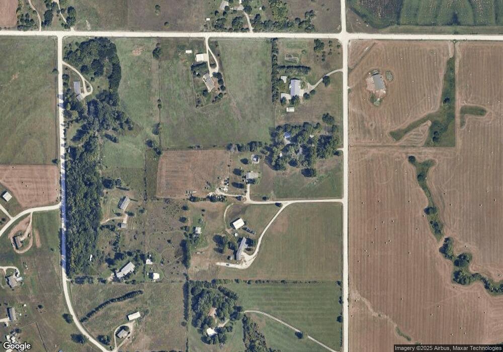
Map
Nearby Homes
- 5690 Prairie View Rd
- 5632 Legends View Dr
- 14373 Prairie Trail
- 14409 Wildwood Cir
- 00000 Wildwood Cir
- 14578 Wildwood Cir
- 14380 Prairie Trail
- 14391 Prairie Trail
- 14452 Wildwood Cir
- 00000 Prairie Trail
- 14416 Wildwood Cir
- 14205 Prairie Trail
- 14434 Wildwood Cir
- 14470 Wildwood Cir
- 00000 Prairie Trail (Lot #3)
- 14362 Prairie W
- 14344 Prairie W
- 14226 Prairie W
- 14371 Prairie Fire Ln
- 13880 Berry Ln
- 5520 Flint Rock Rd
- 5520 Flint Rock Rd
- 5420 Flint Rock Rd
- 5560 Flint Rock Rd
- 14670 Elm Slough Rd
- 5445 Straub Dr
- 5350 Flint Rock Rd
- 5405 Straub Dr
- 14665 Elm Slough Rd
- 5565 Straub Dr
- 5335 Straub Dr
- 5660 Flint Rock Rd
- 5250 Flint Rock Rd
- 5455 Jamie Cir
- 5450 Jamie Cir
- 5427 Jamie Cir
- 14505 Elm Slough Rd
- 5275 Jamie Cir
- 5399 Jamie Cir